
Understanding Base Reflectivity Maps: A Guide for Pet Owners
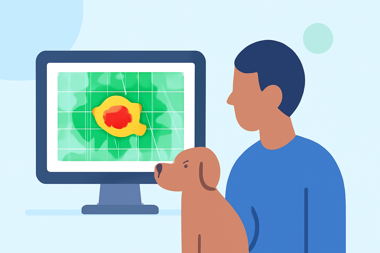
As a pet owner, ensuring your furry friend's safety during severe weather is paramount. Base reflectivity maps, derived from Doppler radar data, offer valuable insights into precipitation intensity and movement, aiding in weather prediction and preparedness.
What Are Base Reflectivity Maps?
Base reflectivity maps display the intensity of precipitation by measuring the strength of radar echoes returned from precipitation particles. These maps are generated from the lowest elevation slice of radar data, providing a snapshot of precipitation at that specific altitude. The National Weather Service updates these maps every five minutes, offering near-real-time insights into weather patterns. (ncei.noaa.gov)
How Do Base Reflectivity Maps Work?
Radar systems emit signals that bounce off precipitation particles, returning echoes that the system measures. The strength of these echoes correlates with the size and density of the particles, allowing meteorologists to estimate precipitation intensity. Base reflectivity maps visualize this data, with color gradients indicating varying levels of precipitation intensity. For instance, darker colors may represent heavier rainfall, while lighter shades indicate lighter precipitation. (windy.com)
Why Are Base Reflectivity Maps Important for Pet Owners?
Understanding precipitation patterns is crucial for pet owners, especially during severe weather events. Base reflectivity maps can help you:
-
Anticipate Weather Changes: By monitoring these maps, you can predict incoming storms or heavy rainfall, allowing you to take necessary precautions for your pet.
-
Plan Outdoor Activities: Knowing when precipitation is expected can help you schedule walks or playtime, ensuring your pet stays dry and comfortable.
-
Ensure Safety During Severe Weather: In cases of heavy rainfall or storms, these maps can inform you of the severity and movement of the weather, aiding in making timely decisions to keep your pet safe indoors.
How to Access Base Reflectivity Maps?
The National Weather Service provides access to base reflectivity maps through their website. These maps are updated every five minutes, offering near-real-time data on precipitation patterns across the United States. (ncei.noaa.gov)
Integrating Base Reflectivity Maps into Your Pet Care Routine
To effectively use base reflectivity maps for your pet's safety:
-
Regular Monitoring: Check the maps daily, especially during seasons prone to storms or heavy rainfall.
-
Plan Ahead: Use the information to schedule outdoor activities during periods of lighter precipitation.
-
Stay Informed: Combine insights from the maps with local weather forecasts to make informed decisions about your pet's care.
Conclusion
Base reflectivity maps are a valuable tool for pet owners, providing detailed insights into precipitation patterns and aiding in proactive pet care during adverse weather conditions. By integrating these maps into your daily routine, you can enhance your pet's safety and well-being.
Highlights:
- Map Layer: National Weather Services's Base Reflectivity Images (Doppler Radar), Published on Thursday, December 03
- Windy: Weather Radar: The Science Behind the Colorful Images We See Practically Every Day
- NEXRAD Radar Maps