
Understanding Base Reflectivity Maps: A Guide for Non-Technical Users
Base reflectivity maps are essential tools in meteorology, providing visual representations of precipitation intensity and distribution. For non-technical users, grasping the basics of these maps can significantly enhance weather-related decision-making.
What Are Base Reflectivity Maps?
Base reflectivity maps display the intensity of precipitation by measuring the amount of energy returned to the radar after it bounces off precipitation particles. This data is collected from weather radars and is crucial for understanding storm structures and rainfall rates.
How Are Base Reflectivity Maps Created?
Weather radars emit pulses of energy that scatter upon encountering precipitation particles. The radar then measures the returned energy, known as reflectivity, which correlates with precipitation intensity. This information is compiled into base reflectivity maps, offering a snapshot of current precipitation patterns.
Interpreting Base Reflectivity Maps
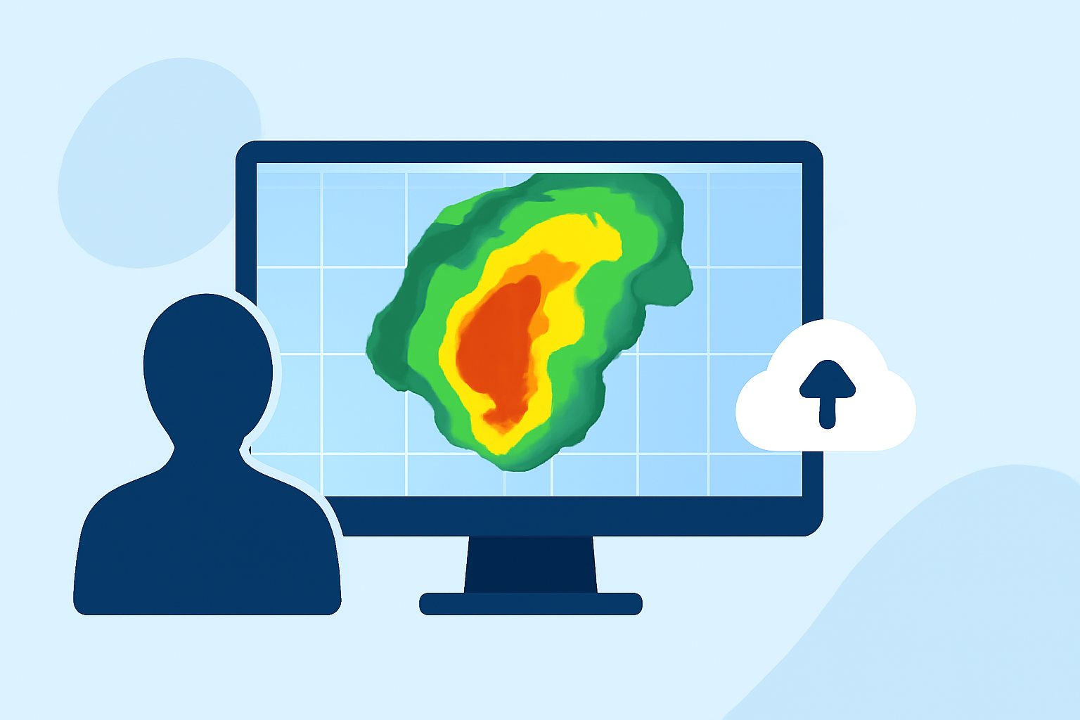
Base reflectivity maps use color gradients to represent varying levels of precipitation intensity. Typically, colors range from light greens indicating light rain to dark reds or purples signifying heavy rainfall or severe weather conditions. Understanding these color codes allows users to assess the severity and movement of weather systems.
Applications of Base Reflectivity Maps
-
Weather Forecasting: Meteorologists utilize these maps to predict weather patterns, track storm development, and issue warnings.
-
Public Safety: By monitoring precipitation intensity, authorities can make informed decisions regarding flood risks and other weather-related hazards.
-
Event Planning: Organizers can use these maps to anticipate weather conditions, ensuring safety and comfort for attendees.
Accessing Base Reflectivity Maps
Various platforms offer access to base reflectivity maps, often with interactive features that allow users to zoom in on specific regions and view real-time data. These tools are invaluable for staying informed about current weather conditions.
Limitations of Base Reflectivity Maps
While base reflectivity maps are powerful tools, they have limitations. They may not accurately depict precipitation types (e.g., distinguishing between rain and snow) and can be affected by ground clutter or obstructions. It's essential to use these maps in conjunction with other weather information for comprehensive decision-making.
By understanding base reflectivity maps, non-technical users can gain valuable insights into weather patterns, enhancing their ability to make informed decisions in various contexts.