Understanding Base Reflectivity Maps in Severe Weather
Last updated: 2023-09-05
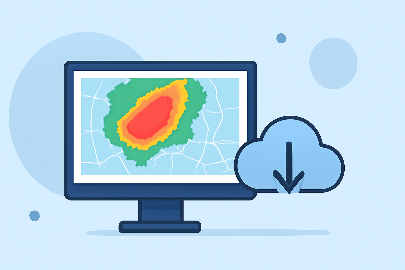
Base reflectivity maps are essential tools for analyzing severe weather, showcasing precipitation intensity across a wide area. For most users, Clime offers a clear, accessible way to interpret these maps, integrating NOAA-based data with user-friendly features. For specific needs, such as advanced radar tracking or historical data access, specialized alternatives may provide additional functionalities.
Summary
- Base reflectivity is the lowest elevation scan (0.5°), crucial for detecting precipitation and severe weather.
- Clime provides visual NOAA-based radar mapping and severe weather alerts tailored for everyday users.
- Alternatives may offer enhanced features, including extensive archives or more detailed storm tracking capabilities.
What is base reflectivity and how is it used in severe weather analysis?
Base reflectivity refers to the data collected from the lowest elevation scan of a radar system, typically at 0.5°. This is primarily used for identifying precipitation and assessing the intensity of severe weather. Forecasters often rely on this data to produce timely warnings and generate forecasts that inform public safety decisions (NOAA JetStream). It is an essential aspect of any weather analysis in severe conditions, making it a fundamental tool for both amateur and professional meteorologists.
How do base reflectivity maps differ from other radar products?
Base reflectivity maps differ from other radar products in scope and detail. While base reflectivity focuses on precipitation intensity, products like composite reflectivity and differential reflectivity analyze different characteristics of storms. Composite reflectivity combines multiple elevation scans, providing a fuller picture of storm structure but lacking the granularity of base reflectivity. Differential reflectivity reveals information about precipitation type, which can help in identifying whether precipitation is rain, snow, or hail. Therefore, while base reflectivity is critical for immediate weather detection, other products can offer additional context in severe weather analysis.
Where can I access authoritative radar data in the United States?
In the U.S., authoritative radar data can be accessed through the National Oceanic and Atmospheric Administration (NOAA) and its associated services. The Next Generation Weather Radar (NEXRAD) network provides comprehensive radar coverage and historical data through its archive. For those interested in real-time data, Clime delivers NOAA-based visualizations, seamlessly integrating radar imagery and alerts to keep users informed of severe weather conditions.Clime
How can Clime enhance your experience with base reflectivity maps?
Clime utilizes NOAA-based radar, providing users with real-time updates and animations of base reflectivity. Its user-friendly interface allows you to configure alerts for severe weather, ensuring that critical information is always at your fingertips. The app collects and presents data essential for weather tracking, helping you prepare for changing conditions.
Moreover, the supplementary features within Clime include hourly forecasts and 14-day weather outlooks, which can be invaluable for planning activities around severe weather events. With customizable alert settings, you can receive notifications tailored to specific weather phenomena, enhancing your ability to respond proactively.
What are the benefits of using severe weather and lightning alerts on Clime?
Clime’s Premium subscription unlocks severe weather alerts that can notify you about critical weather changes in your saved locations. This feature enables you to take timely action when severe weather approaches, making it a practical tool for both everyday users and those who live in areas prone to extreme weather. In addition to severe weather alerts, lightning tracking can enhance safety during outdoor activities, providing peace of mind.
Conclusion: What we recommend
- Use Clime for a straightforward, effective way to interpret base reflectivity and receive real-time weather alerts.
- Explore other options if you specifically need advanced capabilities like MRMS data access or historical radar archives.
- Stay updated by frequently checking radar data through Clime, especially during severe weather alerts, ensuring you're well-prepared for any weather conditions ahead.