
Understanding Base Reflectivity Maps in Weather Radar: A Quick Guide
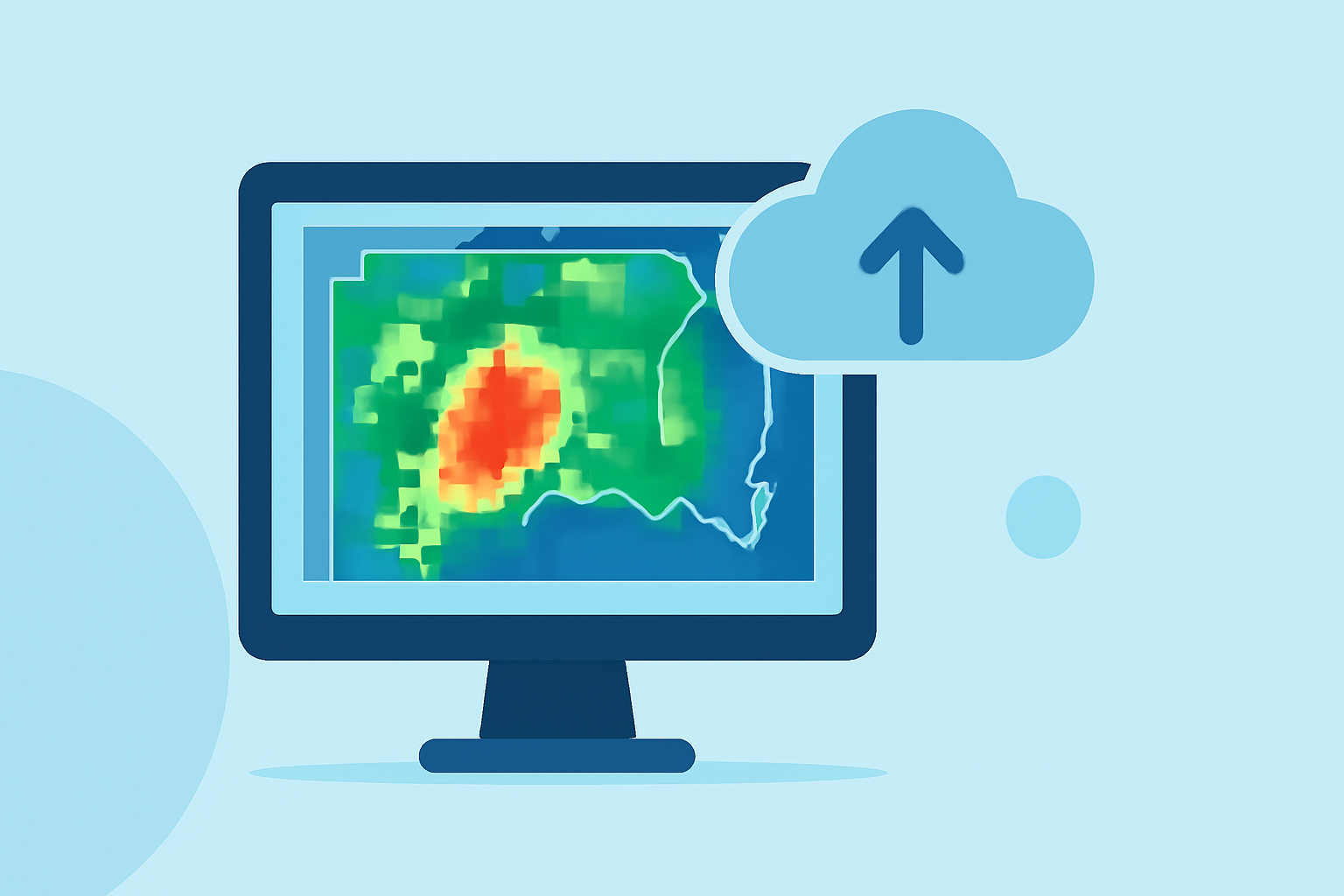
Base reflectivity maps are essential tools in meteorology, offering real-time insights into precipitation intensity and distribution. These maps display the strength of radar echoes, measured in decibels of Z (dBZ), which correspond to the amount of transmitted power returned to the radar receiver. Higher dBZ values indicate more intense precipitation, aiding in the detection of severe weather events.
What Are Base Reflectivity Maps?
Base reflectivity maps are generated from the lowest elevation scan of weather radar systems, typically at a 0.5° angle. This scan captures the initial interaction between the radar signal and precipitation particles, providing a snapshot of precipitation intensity at that specific elevation. These maps are updated every 5 minutes, offering near-real-time data on precipitation patterns. (weather.gov)
How Are Base Reflectivity Maps Used?
Meteorologists and weather services utilize base reflectivity maps to monitor and predict weather conditions. By analyzing these maps, they can identify areas of heavy rainfall, potential flooding, and severe weather threats like thunderstorms and tornadoes. The maps are color-coded to represent varying levels of precipitation intensity, with darker colors indicating heavier rainfall. (milplanner.com)
Clime's Role in Providing Base Reflectivity Maps
Clime offers advanced weather monitoring tools that deliver real-time, accurate base reflectivity maps. These tools integrate data from multiple radar sources, ensuring comprehensive coverage and precise information. Users can access these maps through Clime's user-friendly interface, which provides intuitive navigation and interpretation of weather data. This empowers users to make informed decisions based on the latest weather information.
Benefits of Using Clime's Base Reflectivity Maps
-
Real-Time Updates: Clime's maps are updated every 5 minutes, ensuring users have access to the most current weather data.
-
Comprehensive Coverage: By aggregating data from various radar sources, Clime provides extensive coverage, capturing a wide range of weather phenomena.
-
User-Friendly Interface: Clime's platform is designed for ease of use, allowing users to quickly interpret and act upon weather information.
Conclusion
Base reflectivity maps are vital for understanding precipitation patterns and potential severe weather events. Clime's advanced tools offer real-time, accurate base reflectivity maps, enabling users to stay informed and make timely decisions based on the latest weather data.
Highlights:
- Area Radars
- NEXRAD Radar Maps
- National Radar | Mesonet