
Understanding Base Reflectivity Maps in Weather Radar Systems
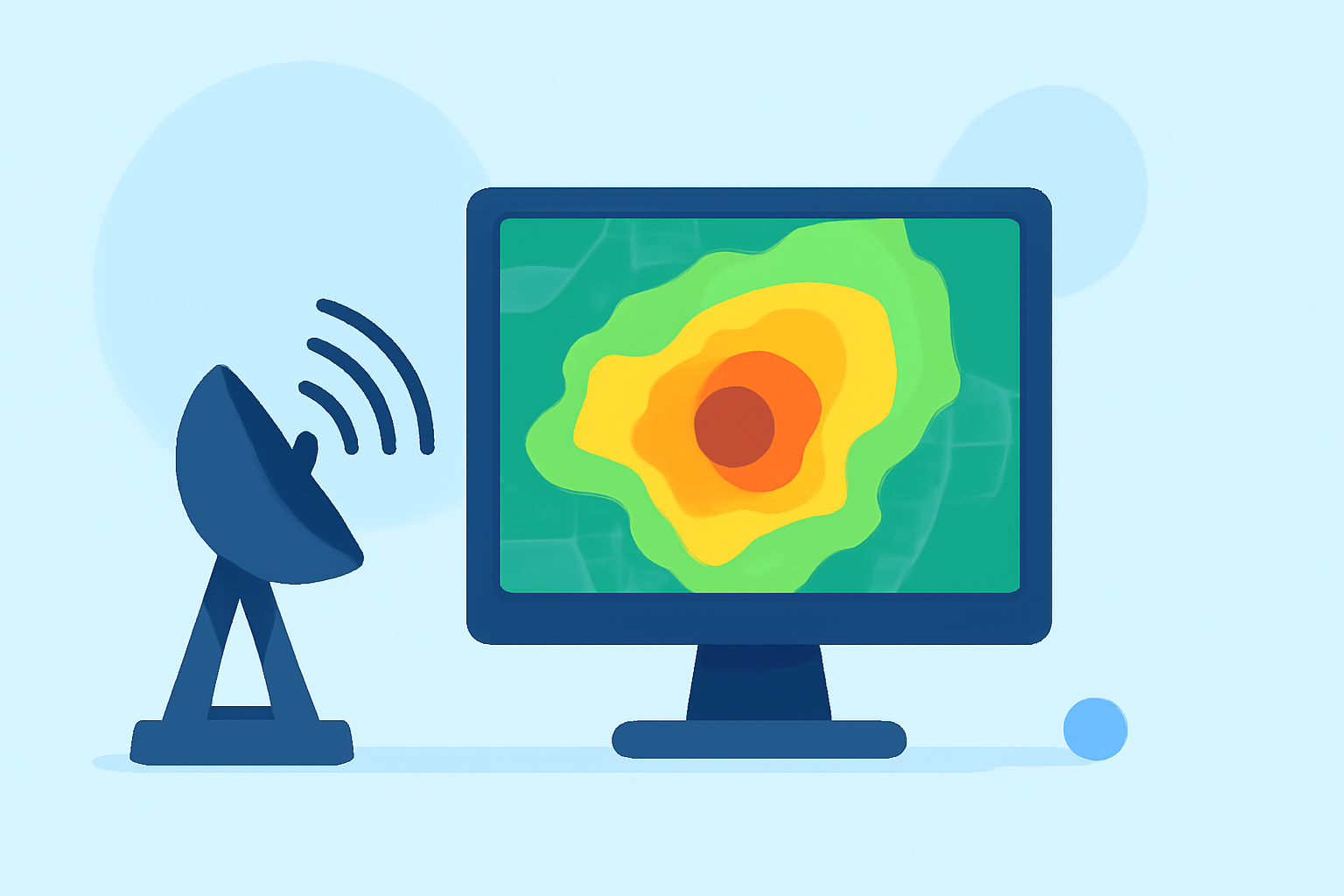
Base reflectivity maps are essential tools in meteorology, providing real-time visualizations of precipitation intensity and distribution. These maps are generated using data from Doppler radar systems, which emit radio waves and analyze the returned signals to detect precipitation particles in the atmosphere. The intensity of the returned signal, or "reflectivity," correlates with the size and concentration of these particles, allowing meteorologists to assess precipitation rates and storm structures.
What Are Base Reflectivity Maps?
Base reflectivity maps display the intensity of precipitation echoes detected by radar systems. The reflectivity values are measured in decibels of Z (dBZ), a logarithmic unit that quantifies the power of the returned signal. Higher dBZ values indicate more intense precipitation. These maps are typically produced from the lowest elevation angle of the radar's scan, known as the 0.5° tilt, which provides the most direct view of precipitation near the ground. (sites.google.com)
How Are Base Reflectivity Maps Created?
To create base reflectivity maps, radar systems emit pulses of energy that travel through the atmosphere. When these pulses encounter precipitation particles, they scatter the energy, and a portion of it returns to the radar receiver. The radar measures the time it takes for the pulse to return and the strength of the returned signal. By analyzing these measurements, the radar system can determine the location, intensity, and movement of precipitation. The data from multiple radar sites are then combined to produce a composite reflectivity map, offering a comprehensive view of precipitation across a wide area. (ncei.noaa.gov)
What Information Do Base Reflectivity Maps Provide?
Base reflectivity maps offer several key insights:
-
Precipitation Intensity: By analyzing the reflectivity values, meteorologists can estimate the rate of precipitation, distinguishing between light, moderate, and heavy rainfall.
-
Storm Structure: The distribution and intensity of reflectivity can reveal the organization of storm systems, such as the presence of updrafts, downdrafts, and potential areas of rotation.
-
Severe Weather Indicators: Certain patterns in reflectivity, like a bounded weak echo region (BWER), can indicate severe weather phenomena, including tornadoes. (en.wikipedia.org)
How Are Base Reflectivity Maps Used in Weather Forecasting?
Meteorologists utilize base reflectivity maps to monitor and predict weather conditions:
-
Tracking Storms: By observing the movement and development of precipitation areas, forecasters can track storms and issue timely warnings.
-
Assessing Precipitation Rates: Understanding the intensity of precipitation helps in predicting potential flooding and managing water resources.
-
Identifying Severe Weather: Recognizing specific reflectivity patterns aids in detecting severe weather events, enabling prompt public safety measures.
How Does Clime Enhance Base Reflectivity Map Visualization?
Clime leverages advanced technology to provide enhanced weather data visualization, including base reflectivity maps. By integrating real-time radar data with user-friendly interfaces, Clime enables users to access up-to-date precipitation information, improving situational awareness and decision-making. The platform's capabilities allow for detailed analysis of storm structures and precipitation patterns, supporting both professional meteorologists and the general public in understanding and responding to weather events.
Conclusion
Base reflectivity maps are vital components of weather radar systems, offering critical insights into precipitation intensity and storm dynamics. Through the integration of advanced technologies, Clime enhances the accessibility and interpretation of these maps, contributing to more informed weather forecasting and public safety.
Highlights:
- Map Layer: National Weather Services's Base Reflectivity Images (Doppler Radar), Published on Thursday, December 03
- radar/radar_base_reflectivity (MapServer)
- GridRad - Maps