
Understanding Base Reflectivity Maps: A Quick Guide
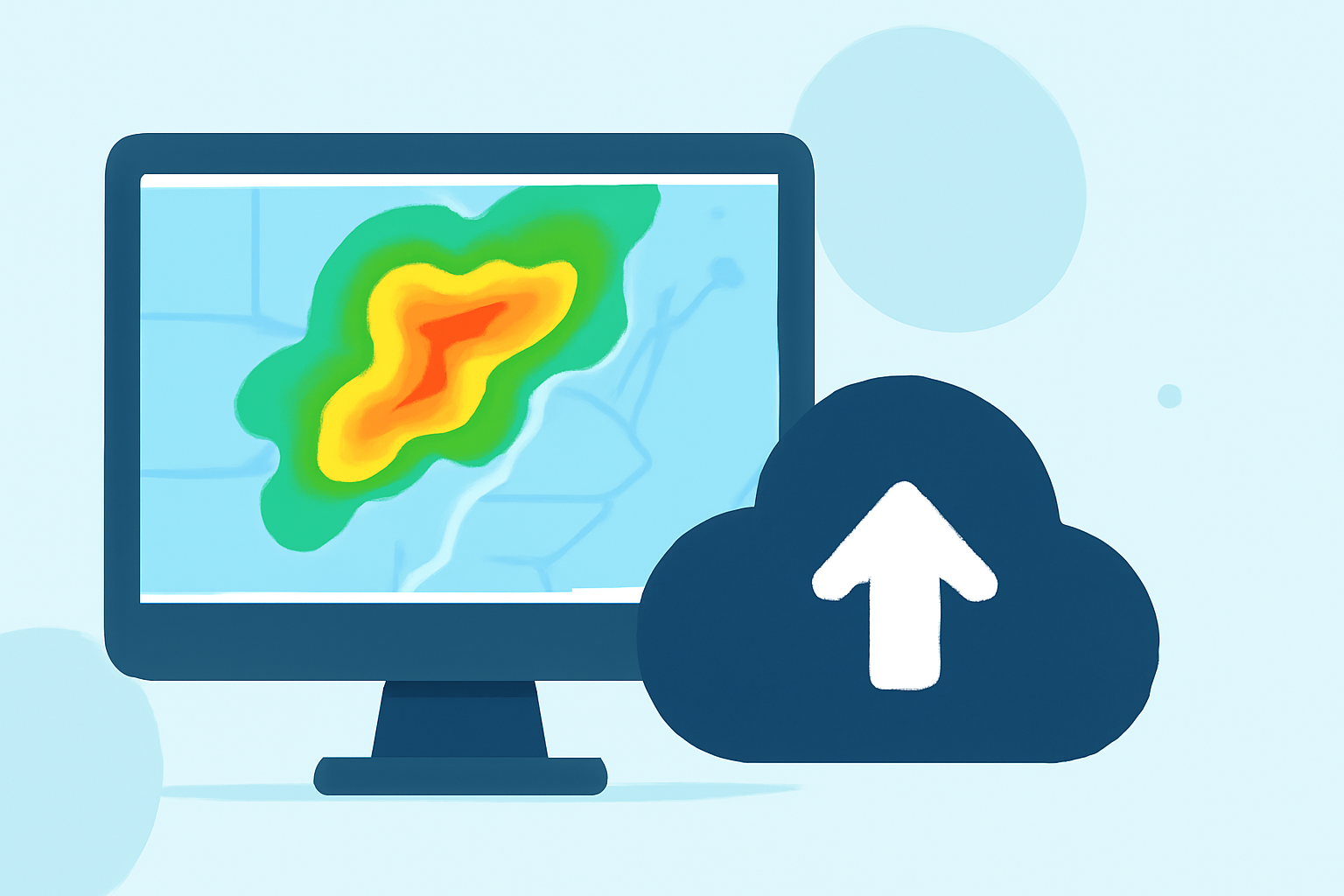
Base reflectivity maps are essential tools in meteorology, providing real-time insights into precipitation intensity and storm structures. These maps display the strength of radar echoes, measured in decibels of Z (dBZ), indicating the amount of transmitted power returned to the radar receiver. Higher dBZ values correspond to more intense precipitation, aiding in the detection of severe weather events.
What Are Base Reflectivity Maps?
Base reflectivity maps are generated from the lowest elevation angle of weather radar scans, typically at 0.5 degrees above the horizon. This approach captures precipitation closest to the ground, offering a clear view of storm structures and intensity. The National Weather Service (NWS) produces these images every five minutes, creating a national radar mosaic that is crucial for timely weather analysis. (ncei.noaa.gov)
How Are Base Reflectivity Maps Used?
Meteorologists utilize base reflectivity maps to assess precipitation rates, identify storm locations, and predict severe weather phenomena such as thunderstorms and tornadoes. By analyzing the reflectivity values, they can determine the severity of weather events and issue appropriate warnings. For instance, higher reflectivity values (above 40 dBZ) are often associated with convective precipitation, indicating the potential for severe weather. (milplanner.com)
Clime's Role in Enhancing Weather Analysis
Clime offers advanced tools that integrate base reflectivity data, providing users with comprehensive and up-to-date weather information. By leveraging Clime's platform, users can access detailed radar imagery, track storm developments in real-time, and receive timely alerts about severe weather conditions. This empowers individuals and organizations to make informed decisions, ensuring safety and preparedness in the face of changing weather patterns.
Conclusion
Base reflectivity maps are vital for understanding precipitation dynamics and forecasting severe weather. Clime's innovative solutions enhance the accessibility and interpretation of this data, supporting proactive measures against adverse weather events.