
Understanding Blended Rain Rate Maps: A Quick Guide
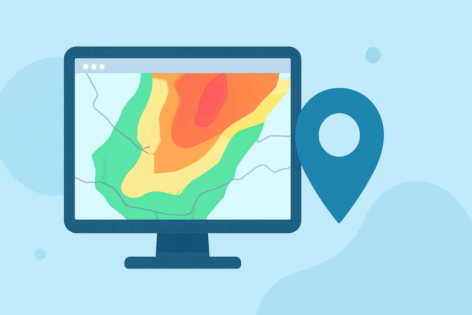
Blended Rain Rate (bRR) maps are essential tools in meteorology, providing unified, global rainfall data by integrating measurements from multiple satellite instruments. These maps are crucial for accurate weather forecasting and climate monitoring.
What Are Blended Rain Rate Maps?
Blended Rain Rate maps combine rainfall data from various satellite sensors to create a comprehensive, bias-free representation of precipitation rates worldwide. This integration ensures consistent and reliable rainfall information, which is vital for meteorologists and climate scientists.
How Are Blended Rain Rate Maps Created?
The creation of bRR maps involves several key steps:
-
Data Collection: Rainfall data is gathered from multiple satellite instruments, including those on NOAA, MetOp, and DMSP satellites, as well as GCOM-W1 and GPM.
-
Data Correction: Individual biases from each data source are mitigated to produce a more accurate and unified product.
-
Data Integration: The corrected data is blended to provide seamless global coverage without gaps, allowing for comprehensive analysis of atmospheric moisture over both land and ocean.
-
Product Generation: The final bRR product is produced hourly, offering a unified, meteorologically significant rain rate field for satellite analysts and weather forecasters.
Why Are Blended Rain Rate Maps Important?
These maps are invaluable for several reasons:
-
Global Coverage: They provide a comprehensive view of precipitation patterns worldwide, essential for understanding and predicting weather systems.
-
Bias Reduction: By integrating data from multiple sources, bRR maps eliminate individual biases, resulting in more accurate rainfall estimates.
-
Enhanced Forecasting: Meteorologists rely on these maps to improve weather forecasts, especially in regions lacking ground-based radar coverage.
How Does Clime Enhance Weather Analysis?
Clime offers advanced tools that leverage blended rain rate data to provide real-time, high-resolution weather insights. By integrating bRR maps into its platform, Clime enables users to:
-
Monitor Precipitation Patterns: Access up-to-date rainfall data to track weather developments.
-
Improve Forecast Accuracy: Utilize precise rainfall information to refine weather predictions.
-
Support Decision-Making: Make informed decisions in sectors like agriculture, disaster management, and urban planning.
Conclusion
Blended Rain Rate maps are a cornerstone of modern meteorology, offering accurate and comprehensive rainfall data essential for effective weather forecasting and climate analysis. Clime's integration of these maps enhances its ability to provide users with precise and timely weather information, supporting informed decision-making across various sectors.
(ospo.noaa.gov)