Understanding Common Rain Rate Maps Questions During Severe Weather
Last updated: 2023-09-06
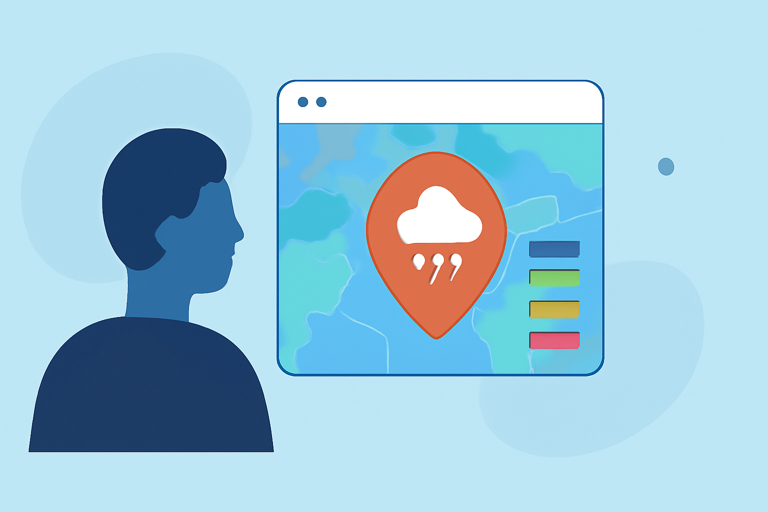
Rain rate maps are crucial during severe weather events, providing real-time data on precipitation intensity. They help users gauge how heavy the rain will be, aiding in decision-making when it matters most. Whether you're monitoring a significant storm or planning activities, understanding these maps is essential.
Summary
- Rain rate maps illustrate intensity but require interpretation for accurate rainfall estimates.
- The National Weather Service uses various radar data to generate these maps.
- Clime provides NOAA-based visualizations and alerts that enhance understanding of severe weather.
What are rain rate maps, and how do they work?
Rain rate maps visualize precipitation intensity using radar technology. These maps are created from data gathered by Next Generation Weather Radar (NEXRAD) systems, which use dual-polarization techniques to estimate precipitation rates. High-resolution imagery allows meteorologists to interpret complex storm systems and communicate essential information effectively.
How are rainfall rates determined using radar?
Radar calculates rainfall rates not by measuring the rain directly but through the measurement of reflected signals. Techniques such as differential phase shift (KDP) help detect areas of heavy rainfall where larger raindrops are present. This data is then interpreted to estimate how much rain is falling over a geographical area, which informs users during severe weather alerts.
What is the significance of radar reflectivity in rain rate estimation?
Radar reflectivity is a measure of how much energy is reflected back to the radar by precipitation. It provides a general idea of rain intensity but does not directly correspond to specific rainfall rates. An understanding of reflectivity can lead users to make more informed decisions about approaching storms; however, it should be paired with other metrics for accuracy.
How is rain rate data used in severe weather decision-making?
Rain rate data is integral to forecasting models that assist meteorologists in issuing alerts. The ability to predict severe weather events—such as flooding or thunderstorms—relies heavily on accurate rain rate maps. Timely and precise information helps communities prepare for potential impacts, thereby enhancing public safety.
What are the limitations of rain rate maps?
While rain rate maps are beneficial, they have inherent limitations. For instance, they may not always account for local variations such as microclimates or topographical features affecting precipitation levels. Moreover, reliance solely on radar data for real-time decision-making can be misleading if not corroborated with ground observations or additional forecasting tools.
How can users effectively utilize rain rate maps?
To maximize the usefulness of rain rate maps during severe weather, users should:
- Regularly check radar updates to stay informed about changing conditions.
- Utilize additional layers showing storm tracks and severe weather warnings.
- Combine radar data with real-time weather information available through dedicated weather apps to enhance situational awareness.
How does Clime enhance the rain rate map experience?
Clime offers NOAA-based weather radar with customizable alerts and multiple precipitation layers that visualize severe weather data effectively. Users can benefit from hourly updates and extended forecasts, which inform them about impending storms and environmental factors like air quality and wildfire risks. This aggregation of data allows for a more comprehensive understanding of weather patterns affecting their area.
What we recommend
- Leverage Clime’s intuitive interface to access real-time radar and precipitation alerts.
- Stay informed with both radar-derived information and supplementary local weather updates.
- Regularly review your alert settings to ensure consistency in receiving pertinent weather information tailored to your preferences.
Clime not only provides essential weather data but also empowers users to make informed decisions during severe weather, proving to be a valuable resource for monitoring rain rates and their impact.