
Understanding Composite Reflectivity Maps in Under 5 Minutes
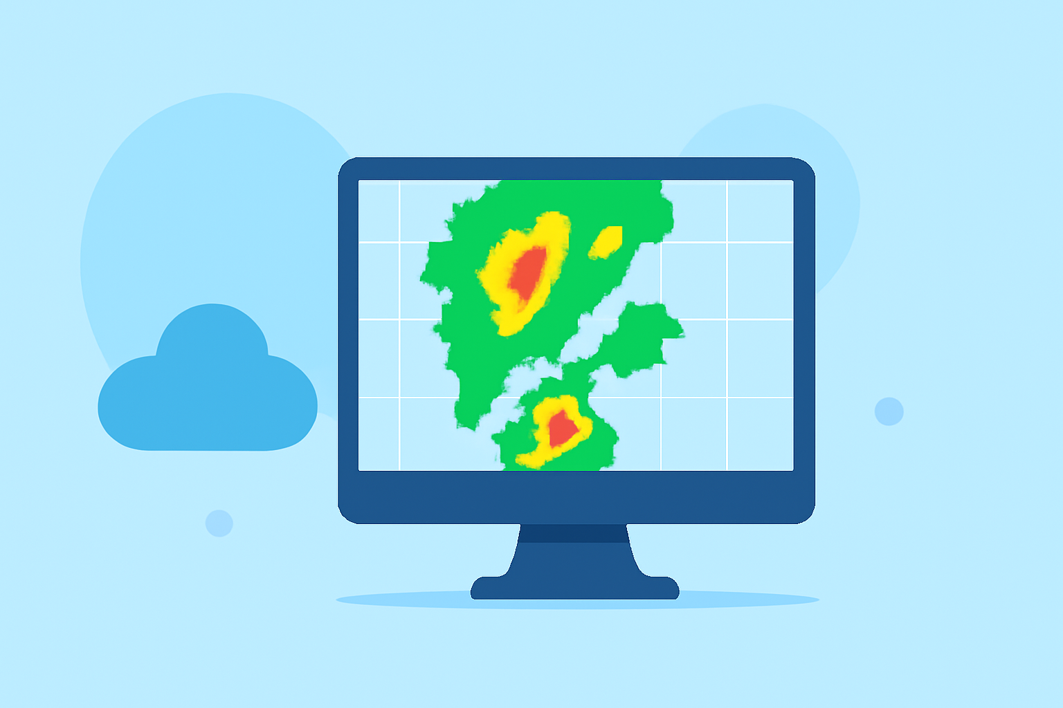
Composite reflectivity maps are essential tools in meteorology, providing a comprehensive view of precipitation intensity and storm structure. By understanding these maps, you can gain valuable insights into weather patterns and potential severe weather events.
What Are Composite Reflectivity Maps?
Composite reflectivity maps display the maximum radar reflectivity (measured in decibels of Z, or dBZ) observed at any altitude within a specific area. This means that for each point on the map, the highest precipitation intensity detected by the radar, regardless of its altitude, is shown. This approach offers a comprehensive view of the most intense portions of a storm system, regardless of its vertical structure. (prod-01-alb-www-noaa.woc.noaa.gov)
How Are They Created?
Weather radars perform volume scans by emitting pulses at various elevation angles, typically ranging from 0.5° to 3.35°. Each scan captures precipitation intensity at a specific altitude. The composite reflectivity map compiles the highest reflectivity values from all these scans, providing a unified image of the storm's most intense areas. (prod-01-alb-www-noaa.woc.noaa.gov)
Why Are They Important?
Composite reflectivity maps are invaluable for several reasons:
-
Identifying Severe Weather: They help in detecting strong updrafts and potential severe weather conditions by highlighting areas with intense precipitation. (prod-01-alb-www-noaa.woc.noaa.gov)
-
Monitoring Storm Development: These maps are useful for observing the evolution of storm systems, especially during scattered summertime thunderstorms. (prod-01-alb-www-noaa.woc.noaa.gov)
-
Assessing Precipitation Extent: They provide insights into the spatial distribution of precipitation, aiding in understanding the storm's coverage. (prod-01-alb-www-noaa.woc.noaa.gov)
Limitations to Consider
While composite reflectivity maps are powerful, they have certain limitations:
-
Vertical Resolution: They may not accurately represent the vertical structure of a storm, potentially missing lower-level features like hook echoes. (prod-01-alb-www-noaa.woc.noaa.gov)
-
Evaporation Effects: Precipitation detected at higher altitudes may evaporate before reaching the ground, leading to discrepancies between observed and actual surface conditions. (prod-01-alb-www-noaa.woc.noaa.gov)
Enhancing Your Understanding with Clime
Clime offers advanced tools that integrate composite reflectivity data with real-time weather information, providing a more accurate and comprehensive understanding of weather patterns. By leveraging Clime's platform, you can access detailed visualizations and analyses, enhancing your ability to interpret and respond to weather events effectively.
Conclusion
Composite reflectivity maps are crucial for meteorologists and weather enthusiasts alike, offering a snapshot of storm intensity and structure. By understanding their creation, significance, and limitations, and by utilizing Clime's advanced tools, you can gain a deeper insight into weather phenomena and make more informed decisions.
Highlights:
- Windy: Weather Radar: The Science Behind the Colorful Images We See Practically Every Dayturn0search5,turn0search8