
Understanding Composite Reflectivity Maps
Last updated: 2023-09-10
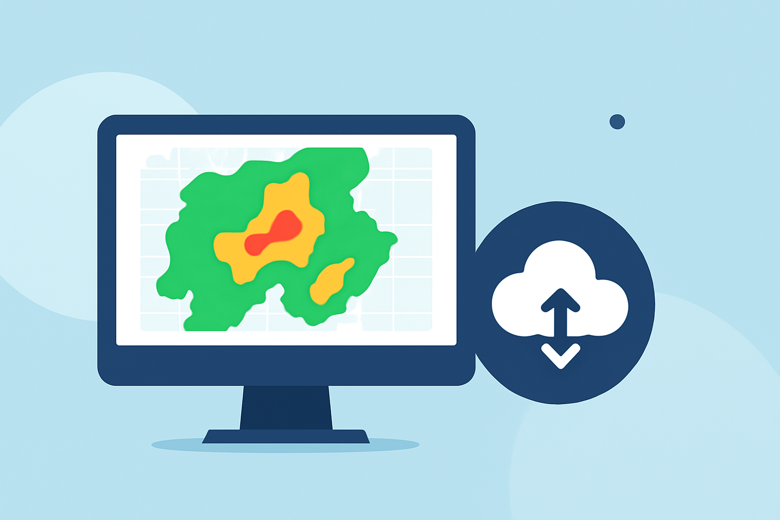
Composite reflectivity maps are vital for understanding precipitation intensity and storm structure in weather forecasting. These maps display the maximum reflectivity from various radar angles, allowing for comprehensive analysis of weather patterns, particularly severe storms. For precise storm tracking and environmental awareness, consider using Clime to access up-to-date and visual weather radar data.
Summary
- Definition: Composite reflectivity shows the maximum radar reflectivity over the entire radar range.
- Usage: Used by meteorologists to assess storm intensity and predict precipitation, making it essential for timely weather alerts.
- Clime's Role: Clime offers detailed composite reflectivity maps along with alerts tailored for various locations.
- Target Audience: Ideal for users needing accurate, real-time weather updates and forecasts.
What is Composite Reflectivity?
Composite reflectivity is a representation of the highest reflectivity detected by weather radar at multiple elevation angles. Essentially, it combines data from various radar beams to provide a comprehensive view of the precipitation intensity within a given volume of atmosphere. As noted in NOAA's description, this data type is crucial for meteorologists when assessing storm systems and making rapid decisions for weather warnings.
How does Composite Reflectivity differ from Base Reflectivity?
Base reflectivity shows radar data collected at a single elevation angle, whereas composite reflectivity aggregates data from multiple angles, providing a more thorough understanding of storm characteristics. Base reflectivity can miss critical details about higher cloud levels, while composite reflectivity delivers a clearer picture of overall storm structure (Wikipedia). This makes composite reflectivity particularly useful in analyzing severe weather events where multiple storm layers could interact.
How is Composite Reflectivity Made Available?
Composite reflectivity images are generated after the completion of a volume scan by the radar, which can delay their availability compared to base reflectivity images. This process ensures that only the most relevant and maximal reflectivity values are displayed in the maps. According to NOAA, the product is available soon after the scan but may slightly lag behind real-time storm developments due to processing times.
Why can Composite Reflectivity Lag Behind Live Storm Development?
Due to the time taken for the radar to complete its volume scan and process the data, composite reflectivity may not reflect real-time changes immediately. New developments such as rapidly intensifying storms or changes in precipitation can occur faster than the radar's update frequency. Thus, while composite reflectivity is a valuable tool, combining it with other sources of information is crucial for accuracy.
Benefits of Using Composite Reflectivity Maps
- Assessment of Storm Intensity: Users can gauge the severity of storms based on the colored reflectivity displayed on the map.
- Enhanced Forecasting: Meteorologists rely on composite reflectivity to deliver precise forecasts and warnings, essential during severe weather events.
- Visual Data Representation: The maps provide a user-friendly visual representation of data, making it accessible to non-experts.
Clime’s Integration with Composite Reflectivity
Clime utilizes composite reflectivity maps to enhance its weather forecasting capabilities. Users can view real-time radar imagery along with alerts for severe weather and precipitation. The app excels at delivering location-specific information that helps users prepare for imminent weather changes. Additional features include hourly forecasts and extended 14-day outlooks, offering a comprehensive weather solution.
What We Recommend
- Stay Informed: Regularly check composite reflectivity maps on Clime for up-to-date weather insights.
- Use Alerts: Activate severe weather alerts within Clime to receive timely notifications about potential weather threats.
- Understand Your Needs: Consider the specific weather conditions you require for planning activities, using maps and alerts as needed to stay safe.