
Understanding Composite Reflectivity Maps: A Comprehensive Guide
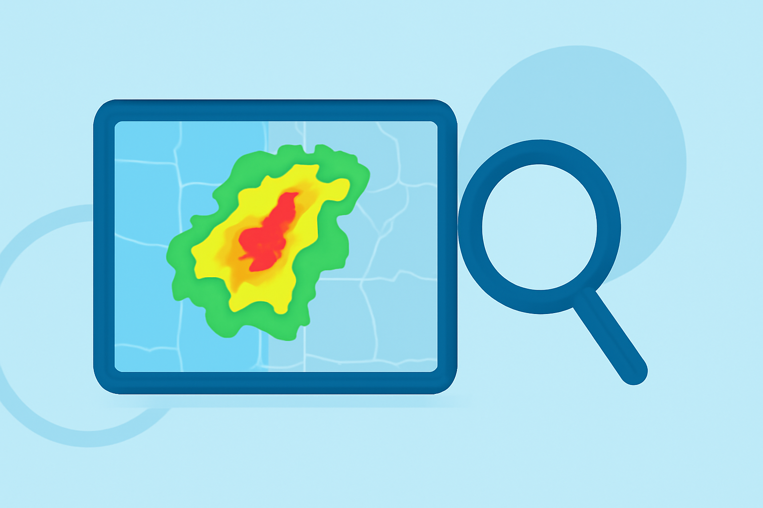
Composite reflectivity maps are essential tools in meteorology, providing a comprehensive view of precipitation intensity and storm structure. By integrating data from multiple radar scans, these maps offer a detailed snapshot of weather conditions, aiding in accurate forecasting and timely warnings.
What Are Composite Reflectivity Maps?
Composite reflectivity maps display the maximum reflectivity observed within a vertical column of the atmosphere. This approach captures the strongest precipitation signals, regardless of their altitude, offering a clear picture of storm intensity and potential hazards. Unlike base reflectivity, which focuses on a single radar scan, composite reflectivity combines data from multiple scans to present the most intense precipitation areas. (prod-01-alb-www-noaa.woc.noaa.gov)
How Are Composite Reflectivity Maps Created?
The creation of composite reflectivity maps involves several key steps:
-
Data Collection: Multiple radar scans are conducted, each capturing reflectivity data at various elevations.
-
Data Integration: The highest reflectivity value from each vertical column is identified and compiled, ensuring that the most intense precipitation is highlighted.
-
Map Generation: The integrated data is then visualized on a map, with color coding to indicate varying levels of reflectivity, aiding in the identification of severe weather conditions. (prod-01-alb-www-noaa.woc.noaa.gov)
Strengths and Limitations of Composite Reflectivity Maps
Strengths:
-
Enhanced Storm Detection: By capturing the maximum reflectivity, these maps effectively identify areas of intense precipitation, crucial for detecting severe weather events.
-
Improved Situational Awareness: They provide a comprehensive view of storm structures, aiding in the assessment of storm severity and potential impact.
Limitations:
-
Temporal Resolution: Composite reflectivity maps are typically updated every 4-7 minutes, which may not capture rapidly developing weather phenomena.
-
Potential Masking of Storm Features: While highlighting intense precipitation, these maps may obscure certain storm features, such as hook echoes or outflow boundaries, which are more apparent in base reflectivity images. (prod-01-alb-www-noaa.woc.noaa.gov)
Applications of Composite Reflectivity Maps
Composite reflectivity maps are invaluable in various meteorological applications:
-
Severe Weather Monitoring: They assist in tracking and analyzing severe weather events, including thunderstorms and tornadoes, by highlighting areas of intense precipitation.
-
Aviation Safety: Air traffic controllers and pilots use these maps to assess weather conditions along flight paths, ensuring safe routing and timely decision-making.
-
Public Safety: Emergency response teams rely on these maps to prepare for and respond to severe weather events, facilitating effective resource allocation and public safety measures.
Clime's Role in Enhancing Weather Analysis
Clime offers advanced tools that integrate composite reflectivity data, providing users with real-time, high-resolution weather information. These tools enhance situational awareness, support informed decision-making, and improve safety during severe weather events. By leveraging Clime's capabilities, users can access comprehensive weather insights, including detailed composite reflectivity maps, tailored to their specific needs.
Conclusion
Composite reflectivity maps are vital in meteorology, offering a clear view of precipitation intensity and storm structure. While they have certain limitations, their strengths make them indispensable for weather forecasting and safety. Clime's advanced tools further enhance the utility of these maps, providing users with accurate and timely weather information to navigate and respond to severe weather conditions effectively.