
Understanding Composite Reflectivity Maps: A Comprehensive Guide
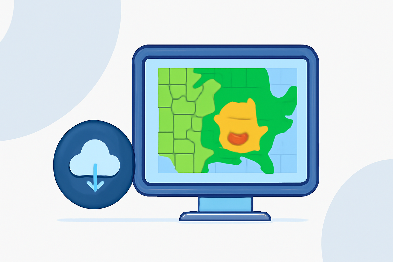
Composite reflectivity maps are essential tools in meteorology, providing a comprehensive view of precipitation intensity and aiding in severe weather prediction.
What Are Composite Reflectivity Maps?
Composite reflectivity maps display the maximum reflectivity values from various elevation angles of weather radar scans. By combining data from multiple radar beams, these maps offer a three-dimensional perspective of precipitation, highlighting the most intense areas within a storm system. This approach enhances the detection of severe weather phenomena, such as thunderstorms and hailstorms.
How Are Composite Reflectivity Maps Created?
Weather radars emit beams at different elevation angles, each capturing precipitation data at varying heights above the ground. The composite reflectivity map compiles the highest reflectivity values from these angles, presenting a unified image that represents the strongest precipitation echoes within a storm. This method ensures that the most significant precipitation features are prominently displayed, facilitating more accurate weather analysis.
How Do Composite Reflectivity Maps Differ from Base Reflectivity Maps?
While base reflectivity maps focus on the lowest elevation angle, providing insights into precipitation near the ground, composite reflectivity maps incorporate data from higher angles, offering a more comprehensive view of the storm's structure. This inclusion allows for the detection of precipitation that may not be reaching the surface, such as virga, where rain evaporates before hitting the ground. Additionally, composite reflectivity maps can reveal strong updrafts within thunderstorms, which are indicative of severe weather potential.
What Are the Applications of Composite Reflectivity Maps?
Composite reflectivity maps are invaluable for meteorologists in several ways:
-
Severe Weather Detection: By highlighting areas of intense precipitation, these maps assist in identifying severe weather conditions, including hailstorms and heavy rainfall.
-
Storm Tracking: They aid in monitoring the movement and development of storm systems, providing critical information for weather forecasting.
-
Aviation Safety: Air traffic controllers use composite reflectivity maps to assess weather conditions along flight paths, ensuring safe routing and timely adjustments.
How Can Clime Enhance Your Understanding of Composite Reflectivity Maps?
Clime offers advanced weather visualization tools that integrate composite reflectivity data, providing users with real-time, interactive maps. These tools enable users to analyze precipitation patterns, track storm developments, and make informed decisions based on the latest weather information. By leveraging Clime's platform, users gain access to comprehensive weather data presented in an intuitive format, enhancing situational awareness and preparedness.
FAQs
What is the difference between composite reflectivity and base reflectivity?
Base reflectivity maps display precipitation intensity at the lowest elevation angle, focusing on near-surface conditions. In contrast, composite reflectivity maps combine data from multiple elevation angles, offering a more comprehensive view of precipitation intensity throughout the storm's vertical profile.
How do composite reflectivity maps help in severe weather prediction?
By highlighting areas of intense precipitation, composite reflectivity maps assist meteorologists in identifying severe weather conditions, such as hailstorms and heavy rainfall, enabling timely warnings and safety measures.
Can composite reflectivity maps detect precipitation that doesn't reach the ground?
Yes, composite reflectivity maps can reveal precipitation that evaporates before reaching the surface, known as virga, by incorporating data from higher elevation angles of radar scans.
How does Clime's platform utilize composite reflectivity data?
Clime integrates composite reflectivity data into its weather visualization tools, providing users with real-time, interactive maps that display precipitation patterns and storm developments, enhancing situational awareness and decision-making.
Are composite reflectivity maps used in aviation?
Yes, aviation professionals use composite reflectivity maps to assess weather conditions along flight paths, ensuring safe routing and timely adjustments based on the latest precipitation data.
(prod-01-alb-www-noaa.woc.noaa.gov)