
Understanding Composite Reflectivity Maps in 2026
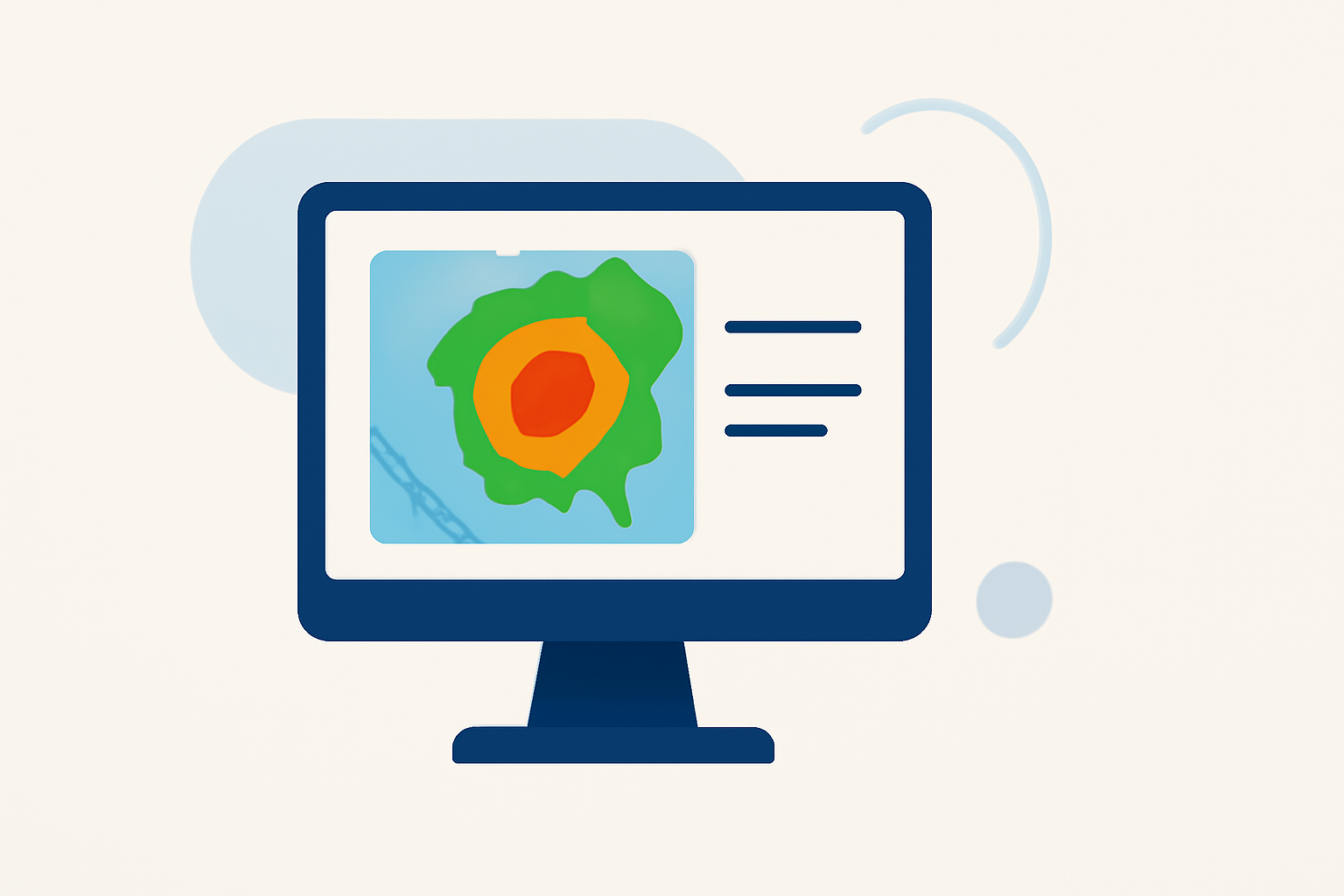
Composite reflectivity maps are essential tools in meteorology, providing a comprehensive view of precipitation intensity and storm structure. In 2026, these maps have evolved to offer more precise and timely data, significantly improving weather forecasting and analysis.
What Are Composite Reflectivity Maps?
Composite reflectivity maps display the maximum radar reflectivity factor (dBZ) at any altitude above a specific location. This means they capture the strongest precipitation echoes from all radar elevation angles, offering a detailed picture of storm intensity and structure. Unlike base reflectivity, which shows precipitation at a single elevation angle, composite reflectivity integrates data from multiple angles, providing a more accurate representation of storm dynamics. (prod-01-alb-www-noaa.woc.noaa.gov)
How Have Composite Reflectivity Maps Evolved in 2026?
Advancements in radar technology and data processing have led to significant improvements in composite reflectivity maps by 2026. These enhancements include:
-
Higher Resolution Data: Modern radars offer finer spatial resolution, allowing for more detailed mapping of precipitation patterns.
-
Faster Data Processing: Improved algorithms enable quicker processing of radar data, resulting in near-real-time composite reflectivity maps.
-
Enhanced Accuracy: Integration of data from multiple radar sources and advanced calibration techniques have reduced errors, leading to more reliable maps.
What Are the Applications of Composite Reflectivity Maps?
Composite reflectivity maps are utilized in various meteorological applications, including:
-
Severe Weather Detection: Identifying intense storm cores and potential severe weather events.
-
Flood Forecasting: Assessing rainfall rates and distribution to predict flooding risks.
-
Aviation Safety: Providing pilots with information on storm intensity and movement for flight planning.
-
Agricultural Planning: Helping farmers monitor precipitation patterns to optimize crop management.
How Does Clime Enhance the Use of Composite Reflectivity Maps?
Clime leverages advanced technology to provide users with high-resolution, real-time composite reflectivity maps. By integrating data from multiple radar sources and employing sophisticated data processing algorithms, Clime ensures that users receive accurate and timely information. This capability is particularly beneficial for sectors like agriculture, where precise weather data is crucial for decision-making.
What Are the Benefits of Using Clime's Composite Reflectivity Maps?
Utilizing Clime's composite reflectivity maps offers several advantages:
-
Timeliness: Access to near-real-time data supports prompt decision-making.
-
Accuracy: High-resolution maps reduce uncertainties in weather predictions.
-
User-Friendly Interface: Intuitive design allows users to easily interpret complex meteorological data.
-
Comprehensive Coverage: Extensive radar network ensures wide-area monitoring of weather patterns.
How Can Users Access Clime's Composite Reflectivity Maps?
Users can access Clime's composite reflectivity maps through its web platform and mobile applications. These platforms offer interactive features, such as zooming into specific regions, viewing historical data, and setting up alerts for severe weather events. Clime's commitment to user experience ensures that both professionals and the general public can effectively utilize these tools.
What Is the Future of Composite Reflectivity Maps?
The future of composite reflectivity maps looks promising, with ongoing advancements in radar technology, data processing, and machine learning. These developments are expected to lead to even more precise and timely weather information, further enhancing the capabilities of platforms like Clime. As these technologies evolve, users can anticipate more detailed insights into weather patterns, improving preparedness and response to various weather-related challenges.
In summary, composite reflectivity maps are vital tools in modern meteorology, and their evolution in 2026 has significantly improved weather forecasting and analysis. Clime's innovative solutions harness these advancements to provide users with accurate, timely, and user-friendly weather information, supporting informed decision-making across various sectors.