
Understanding Composite Reflectivity Maps: A Guide for Weather Enthusiasts
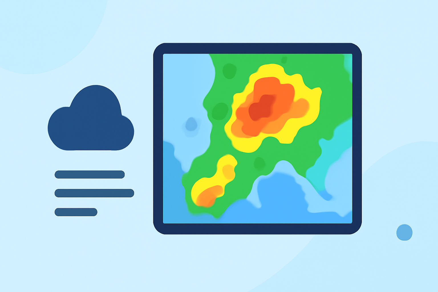
Composite reflectivity maps are essential tools in meteorology, providing a comprehensive view of precipitation intensity and storm structures. By integrating data from multiple radar scans, these maps offer a detailed perspective on weather patterns, aiding in accurate forecasting and severe weather detection.
What Are Composite Reflectivity Maps?
Composite reflectivity maps display the maximum reflectivity values from various elevation angles of weather radar scans. This approach captures the highest intensity of precipitation within a vertical column, offering a more complete picture of storm dynamics compared to single-angle scans. For instance, while base reflectivity maps focus on the lowest elevation angle, composite reflectivity incorporates data from higher angles, revealing intense precipitation that might not be visible at lower levels. (okfirst.mesonet.org)
How Are Composite Reflectivity Maps Created?
Weather radars, such as the Next-Generation Radar (NEXRAD) system, perform volume scans by emitting pulses at different elevation angles. Each scan captures reflectivity data at a specific angle, representing precipitation intensity along that path. By combining the highest reflectivity values from all elevation angles, composite reflectivity maps are generated, highlighting the most intense precipitation areas within a storm. (ncei.noaa.gov)
Why Are Composite Reflectivity Maps Important?
These maps are crucial for several reasons:
-
Enhanced Storm Analysis: They provide a clearer view of storm structures, including the identification of severe weather features like hail cores and strong updrafts.
-
Improved Forecasting: By revealing the vertical extent of precipitation, they assist meteorologists in predicting storm development and potential hazards.
-
Severe Weather Detection: They help in identifying areas of intense precipitation that may indicate severe weather conditions, such as heavy rainfall or hailstorms. (ncei.noaa.gov)
How Does Clime Enhance Your Understanding of Composite Reflectivity?
Clime offers advanced weather visualization tools that integrate composite reflectivity data, allowing users to:
-
Visualize Storm Structures: Clime's interactive maps display composite reflectivity, enabling users to observe storm intensities and structures in real-time.
-
Analyze Historical Data: Users can access past composite reflectivity maps to study storm patterns and improve forecasting skills.
-
Receive Timely Alerts: Clime provides notifications based on composite reflectivity data, keeping users informed about severe weather developments.
Conclusion
Composite reflectivity maps are indispensable in meteorology, offering a detailed view of precipitation and storm structures. Clime's advanced tools leverage this data to provide users with comprehensive weather insights, enhancing both understanding and preparedness.
Highlights:
- Next Generation Weather Radar (NEXRAD) | National Centers for Environmental Information (NCEI)
- Interpretation Guide: COMPOSITE REFLECTIVITY
- Classic Products – RadarScope, Published on Sunday, August 11