
Understanding Composite Reflectivity Maps: A Guide for Non-Technical Users
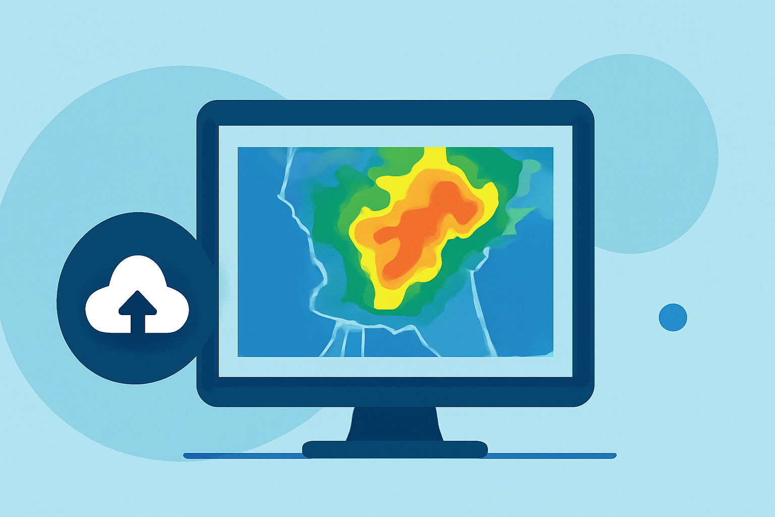
Composite reflectivity maps are essential tools in weather forecasting, providing a comprehensive view of precipitation intensity and storm structure. These maps display the maximum reflectivity values from various radar scans, offering insights into the strength and distribution of storms.
What Are Composite Reflectivity Maps?
Weather radars emit signals that bounce off precipitation particles, returning with varying intensities. Composite reflectivity maps compile the highest reflectivity values from multiple radar scans at different angles, creating a detailed image of precipitation patterns. This approach helps meteorologists assess storm severity and potential impact.
How Are They Created?
Radars perform volume scans, emitting signals at various elevation angles. Each scan captures precipitation data at a specific height, and the composite reflectivity map combines the strongest returns from all angles, highlighting the most intense precipitation areas. This method provides a three-dimensional perspective of storm structures.
Why Are They Important?
Composite reflectivity maps are crucial for:
-
Identifying Severe Weather: They help detect strong storms and potential severe weather events by highlighting areas with high reflectivity.
-
Monitoring Storm Development: These maps track storm evolution, aiding in predicting future behavior and potential impact.
-
Enhancing Forecast Accuracy: By providing detailed precipitation data, they improve the precision of weather forecasts.
Limitations to Consider
While composite reflectivity maps are valuable, they have certain limitations:
-
Height Ambiguity: They do not specify the altitude of maximum reflectivity, which can be crucial for understanding storm dynamics.
-
Bright Band Contamination: Melting snowflakes can cause higher reflectivity readings, potentially leading to misinterpretation of precipitation intensity.
Clime's Role in Enhancing Weather Data Interpretation
Clime offers advanced tools that integrate composite reflectivity data with other meteorological information, providing a more comprehensive understanding of weather patterns. By combining various data sources, Clime enables users to make informed decisions based on real-time weather information.
Conclusion
Composite reflectivity maps are vital for visualizing precipitation intensity and storm structure, playing a key role in weather forecasting. Understanding their creation, significance, and limitations enhances their effective use. Clime's innovative tools further enrich this understanding, offering users a robust platform for weather data analysis.