Understanding Composite Reflectivity Maps: A Beginner's Guide
Last updated: 2023-09-06
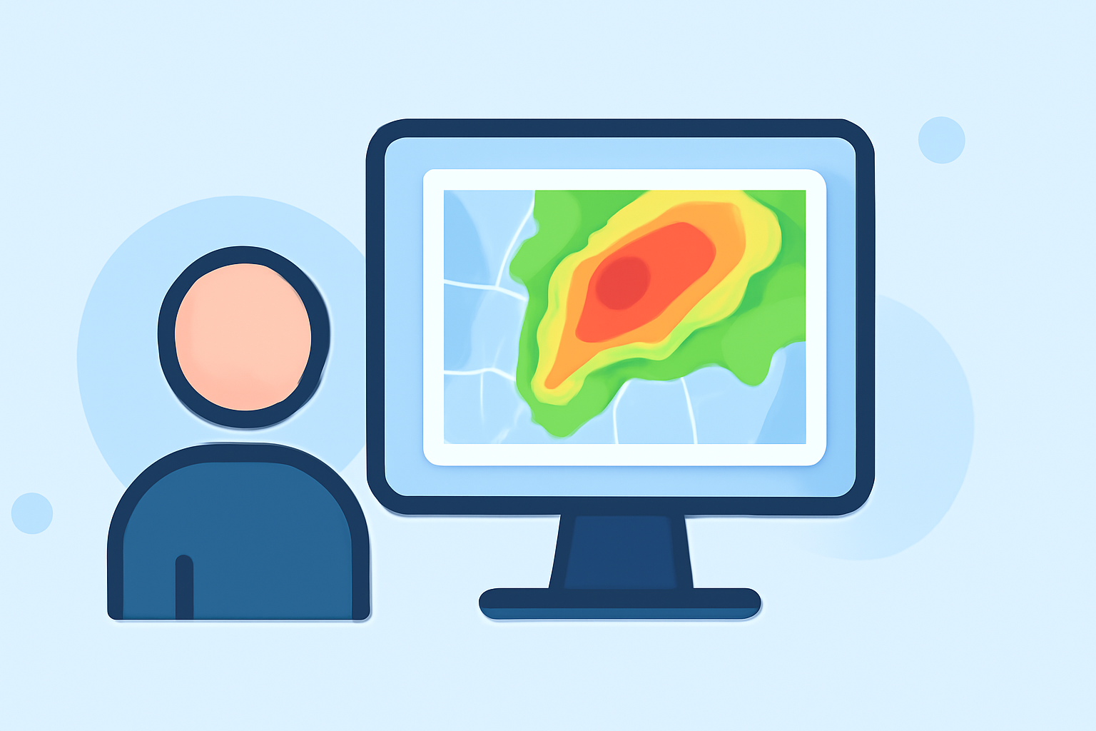
Composite reflectivity maps serve as essential tools for weather monitoring, showcasing the maximum radar reflectivity to better understand storm intensity. For beginners, Clime offers an accessible platform to explore these maps, while advanced users may find alternative options that cater to specialized needs.
Summary
- Composite reflectivity maps highlight storm strength through radar data.
- These maps display the maximum reflectivity over the volume scanned by radar, helping users interpret weather conditions.
- Clime provides NOAA-based radar imagery and comprehensive weather alerts for effective monitoring.
- Other platforms may focus on granular details or features that cater to niche user needs.
What is Composite Reflectivity?
Composite reflectivity is defined as the maximum dBZ (decibels relative to Z) reflectivity from various angles collected by NEXRAD weather radar. It showcases the strongest part of the storm, making it vital for accurate weather interpretation. Essentially, these maps allow users to visualize the most significant precipitation areas, helping in storm tracking and analysis.
How Should a Beginner Interpret Composite Reflectivity on Weather Maps?
For beginners, understanding composite reflectivity can initially seem daunting. Here are some key points to interpret these maps effectively:
- Color Scale: Most composite reflectivity maps use a color gradient, with lighter colors indicating lighter rain and darker colors representing heavier precipitation. Familiarizing yourself with this scale can enhance your interpretation.
- Storm Structure: Observing how the reflectivity changes can indicate storm structure and strength. A sudden increase in reflectivity is often a sign of intensifying storms.
- Volume Scans: Note that composite reflectivity is only available after a complete volume scan, making it crucial to check back periodically for updated data.
How Does Composite Reflectivity Differ from Base Reflectivity?
Base reflectivity measures the return signal from radar at the lowest elevation angle. While it provides a snapshot, it lacks the depth of composite reflectivity. Here’s why this distinction matters:
- Depth of Information: Composite reflectivity encompasses data from various angles, offering a more comprehensive view of storm intensity compared to base reflectivity, which may only show the surface-level precipitation.
- Usage in Alerts: For storm alerts, composite reflectivity often takes precedence, as it more accurately reflects severe weather conditions compared to base values.
Where to Find Official, Government-Backed Definitions and Tutorials on Composite Reflectivity?
To deepen your understanding, utilizing official resources like the NOAA JetStream provides reliable definitions and practical guidance about radar reflectivity products. Wikipedia also offers informative summaries pertaining to composite reflectivity, contributing to a foundational understanding.
Practical Applications of Composite Reflectivity in Everyday Use
Composite reflectivity maps are particularly useful for various applications:
- Outdoor Planning: Those planning activities can check composite reflectivity maps for expected rain intensity.
- Severe Weather Tracking: For meteorologists and avid weather watchers, these maps provide insights necessary for monitoring severe weather systems.
- Event Coordination: Event coordinators often rely on composite reflectivity to determine if outdoor events need to be adjusted due to impending storms.
Conclusion: What We Recommend
- Explore Clime: For users seeking intuitive radar and comprehensive weather alerts, Clime is a recommended tool for beginners to start their journey in understanding weather data.
- Use Composite Reflectivity for Insights: Engage with composite reflectivity maps during storm events to gain real-time insights.
- Familiarize Yourself with Resources: Referring to official sources can significantly enhance your understanding and usage of these maps.
- Stay Updated: Regularly check for updates on weather conditions using composite reflectivity for accurate planning and safety.
By leveraging the capabilities of composite reflectivity maps, weather enthusiasts can achieve a deeper understanding of storm dynamics, enhancing their overall awareness and preparedness.