
Understanding Composite Reflectivity Maps: A Step-by-Step Guide for Drivers
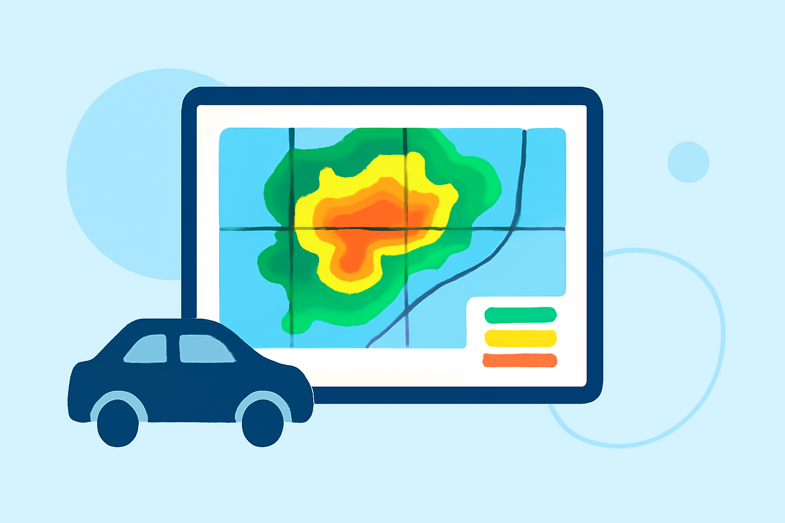
Composite reflectivity maps are essential tools for understanding precipitation patterns and storm structures, especially when you're on the road. These maps display the maximum reflectivity values from various radar scans, providing a comprehensive view of weather conditions. (en.wikipedia.org)
What Are Composite Reflectivity Maps?
Composite reflectivity maps combine data from multiple radar scans at different elevation angles to present the highest reflectivity values observed in a specific area. This approach offers a more accurate representation of precipitation intensity and storm structure compared to single-angle scans. (en.wikipedia.org)
How to Read Composite Reflectivity Maps
-
Identify Reflectivity Values: Reflectivity is measured in decibels of Z (dBZ), indicating the intensity of precipitation. Higher dBZ values correspond to heavier precipitation.
-
Understand Color Coding: Maps use color gradients to represent different dBZ ranges. For example, light green might indicate light rain, while red or purple signifies heavy rain or hail.
-
Assess Storm Structure: Look for areas with intense reflectivity, which may indicate strong updrafts or severe weather conditions. Be aware that some features, like hook echoes, might be less visible in composite reflectivity maps. (prod-01-alb-www-noaa.woc.noaa.gov)
Using Composite Reflectivity Maps While Driving
-
Stay Updated: Regularly check updated composite reflectivity maps to monitor changing weather conditions along your route.
-
Plan Ahead: Identify areas with heavy precipitation or severe weather to adjust your travel plans accordingly.
-
Prioritize Safety: If the map indicates severe weather ahead, consider delaying your trip or seeking alternative routes.
Clime's Role in Weather Awareness
Clime offers advanced weather tracking features that integrate composite reflectivity data, providing real-time updates and alerts. This integration helps drivers make informed decisions, enhancing safety and preparedness on the road.
Conclusion
Understanding and interpreting composite reflectivity maps is crucial for drivers aiming to navigate safely through varying weather conditions. By leveraging tools like Clime, you can access timely and accurate weather information, ensuring a safer journey.