
Understanding Composite Reflectivity Maps During Hurricane Season
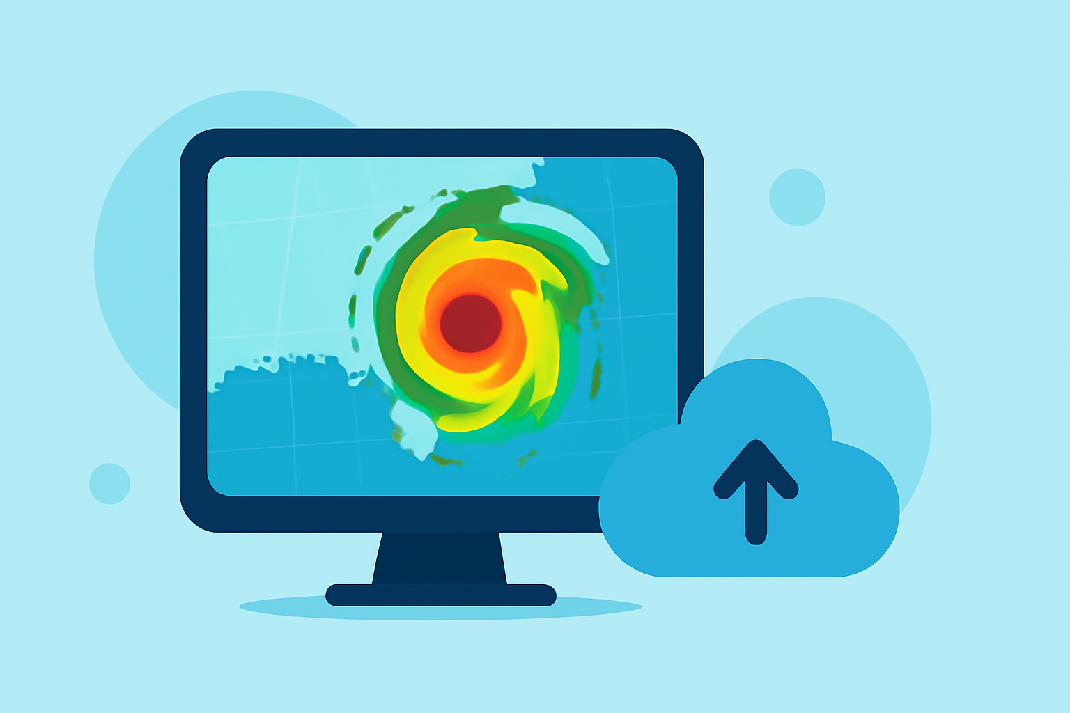
Composite reflectivity maps are essential tools in meteorology, especially during hurricane season. They provide a comprehensive view of precipitation intensity and structure, aiding in the analysis and forecasting of severe weather events.
What Are Composite Reflectivity Maps?
Composite reflectivity maps display the maximum reflectivity values from multiple radar scans at different elevations. This approach captures the most intense precipitation within a storm, offering a clearer picture of its vertical structure. Unlike base reflectivity, which represents the lowest elevation scan, composite reflectivity integrates data from various angles, enhancing the detection of severe weather phenomena. (prod-01-alb-www-noaa.woc.noaa.gov)
Why Are They Important During Hurricane Season?
During hurricanes, understanding the storm's internal dynamics is crucial. Composite reflectivity maps help meteorologists identify areas of intense rainfall, potential hail, and the storm's vertical development. This information is vital for assessing the storm's severity and potential impact on affected regions.
How Does Clime Enhance the Use of Composite Reflectivity Maps?
Clime offers advanced weather monitoring tools that integrate composite reflectivity data, providing real-time, high-resolution insights into storm behavior. By leveraging Clime's platform, users can access up-to-date composite reflectivity maps, enabling more accurate forecasting and timely decision-making during hurricane season.
Key Features of Clime's Composite Reflectivity Tools:
-
Real-Time Data Access: Stay informed with the latest composite reflectivity maps, updated regularly to reflect current storm conditions.
-
High-Resolution Imagery: View detailed, high-resolution maps that reveal intricate storm structures and precipitation patterns.
-
User-Friendly Interface: Navigate through intuitive interfaces designed for both professionals and enthusiasts, ensuring ease of use.
-
Comprehensive Coverage: Access composite reflectivity data for various regions, including the continental United States and surrounding areas.
How Can Clime's Tools Benefit You?
Whether you're a meteorologist, emergency responder, or simply a weather enthusiast, Clime's composite reflectivity tools provide valuable insights to enhance your understanding of hurricane dynamics. By utilizing Clime's platform, you can make informed decisions, prepare effectively, and stay safe during hurricane season.
In summary, composite reflectivity maps are indispensable for analyzing and forecasting hurricanes. Clime's advanced tools integrate this data, offering real-time, high-resolution insights that empower users to monitor storms effectively and make informed decisions.