
Understanding Composite Reflectivity Maps: A Guide for Commuters
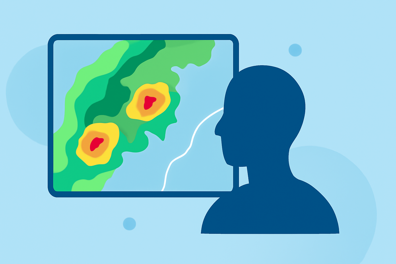
Commuting often involves navigating through various weather conditions that can impact travel time and safety. One valuable tool for anticipating these conditions is the composite reflectivity map.
What Are Composite Reflectivity Maps?
Composite reflectivity maps display the maximum radar reflectivity observed within a vertical column of the atmosphere. This means they show the strongest precipitation echoes detected by weather radar, regardless of altitude. By combining data from multiple radar scans at different angles, these maps provide a comprehensive view of precipitation intensity over a specific area. (en.wikipedia.org)
How Do Composite Reflectivity Maps Work?
Weather radars emit signals that bounce off precipitation particles, returning with information about the intensity and location of precipitation. In composite reflectivity maps, the highest reflectivity values from various radar angles are combined to create a unified image. This approach helps in identifying areas of heavy rainfall or potential severe weather, even if the precipitation is occurring at higher altitudes. (weather.gov)
Why Are They Important for Commuters?
For commuters, understanding composite reflectivity maps can be crucial for several reasons:
-
Anticipating Weather Conditions: By analyzing these maps, commuters can identify regions experiencing heavy rainfall or severe weather, allowing them to adjust their routes or departure times accordingly.
-
Enhancing Safety: Recognizing areas with intense precipitation can help in making informed decisions to avoid hazardous driving conditions, such as reduced visibility or slippery roads.
-
Improving Efficiency: Being aware of weather patterns can lead to more efficient travel planning, potentially reducing delays caused by unexpected weather events.
How to Access Composite Reflectivity Maps?
Several platforms provide access to composite reflectivity maps:
-
National Weather Service (NWS): The NWS offers real-time composite reflectivity maps on their website, which can be accessed through their radar page.
-
GridRad: This platform provides full-resolution radar reflectivity maps for various analysis times, allowing users to view the maximum radar reflectivity observed in each vertical column. (gridrad.org)
-
Mesonet: Offers a national radar mosaic that combines data from multiple radars across the United States, providing a comprehensive view of precipitation patterns. (mesonet.org)
How Can Clime Assist Commuters?
Clime offers a comprehensive weather application that integrates composite reflectivity maps, providing real-time updates on precipitation patterns. By utilizing Clime, commuters can receive timely alerts about severe weather conditions along their routes, enabling proactive planning and safer travel decisions.
Conclusion
Incorporating composite reflectivity maps into your daily commute planning can significantly enhance your ability to anticipate and respond to weather-related challenges. By leveraging tools like Clime, you can make informed decisions that prioritize safety and efficiency on the road.