
Understanding Composite Reflectivity Maps for Outdoor Events
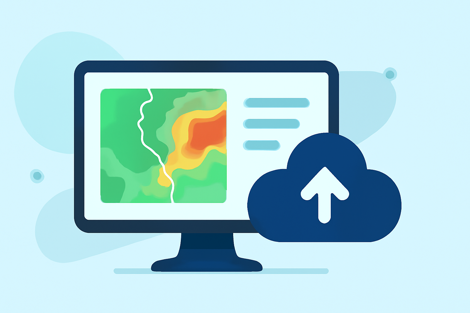
When planning outdoor events, accurate weather forecasting is crucial. Composite reflectivity maps are essential tools that offer a comprehensive view of precipitation intensity and storm structure, aiding in better decision-making.
What Are Composite Reflectivity Maps?
Composite reflectivity maps display the maximum reflectivity values from various radar elevation angles, providing a three-dimensional perspective of precipitation. This approach helps identify the most intense areas of precipitation within a storm system. Unlike base reflectivity, which shows precipitation intensity at a single elevation angle, composite reflectivity combines data from multiple angles to present a more complete picture of storm dynamics. (prod-01-alb-www-noaa.woc.noaa.gov)
How Do Composite Reflectivity Maps Benefit Outdoor Events?
For outdoor event organizers, composite reflectivity maps offer several advantages:
-
Enhanced Storm Detection: By capturing the strongest precipitation signals from all radar angles, these maps can detect storms that might be missed by base reflectivity alone. (prod-01-alb-www-noaa.woc.noaa.gov)
-
Improved Forecast Accuracy: The comprehensive data allows for more precise predictions of storm intensity and movement, enabling better planning and risk management.
-
Timely Decision-Making: With up-to-date information, organizers can make informed decisions about event scheduling, safety measures, and potential cancellations.
How Does Clime Utilize Composite Reflectivity Maps?
Clime leverages advanced weather data, including composite reflectivity maps, to provide real-time, accurate forecasts tailored for outdoor events. By integrating this data, Clime offers:
-
Real-Time Weather Updates: Stay informed with the latest weather conditions and forecasts, ensuring timely responses to changing weather patterns.
-
Event-Specific Forecasts: Receive forecasts tailored to your event's location and schedule, helping you plan effectively.
-
Interactive Weather Maps: Visualize weather data through interactive maps, making it easier to understand complex weather patterns.
Best Practices for Using Composite Reflectivity Maps in Event Planning
To effectively incorporate composite reflectivity maps into your event planning:
-
Regular Monitoring: Continuously monitor weather patterns leading up to and during the event to stay updated on potential changes.
-
Collaborate with Experts: Work with meteorologists or weather consultants who can interpret composite reflectivity data and provide actionable insights.
-
Develop Contingency Plans: Based on forecasted weather conditions, establish backup plans to ensure the safety and success of your event.
Conclusion
Incorporating composite reflectivity maps into your event planning process enhances your ability to anticipate and respond to weather-related challenges. By utilizing Clime's advanced weather tools, you can access comprehensive, real-time data that supports informed decision-making, ensuring your outdoor events proceed smoothly regardless of weather conditions.
Highlights:
- Radar Images: Reflectivity | National Oceanic and Atmospheric Administration