
Understanding Composite Reflectivity Maps: A Gardener's Guide
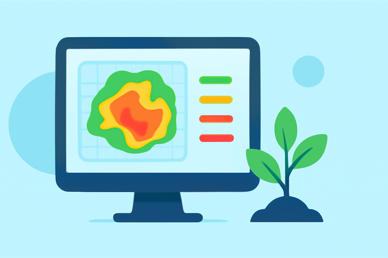
As a gardener, staying ahead of weather changes is crucial for the health and productivity of your plants. One valuable tool in this endeavor is the composite reflectivity map, which provides insights into precipitation patterns and storm intensity.
What Are Composite Reflectivity Maps?
Composite reflectivity maps display the maximum radar reflectivity factor at any altitude over a specific area. This means they show the strongest precipitation echoes detected by weather radar, regardless of the altitude at which they occur. By compiling data from various radar angles, these maps offer a comprehensive view of precipitation intensity and distribution. (glossary.ametsoc.org)
How Do Composite Reflectivity Maps Work?
Weather radars emit signals that bounce off precipitation particles, returning with information about the intensity and location of the precipitation. Composite reflectivity maps aggregate the highest reflectivity values from all radar scans, providing a clear picture of where the most intense precipitation is occurring. This approach helps in identifying areas of heavy rainfall, potential hail, or severe weather conditions. (prod-01-alb-www-noaa.woc.noaa.gov)
Why Should Gardeners Care About Composite Reflectivity Maps?
For gardeners, understanding these maps can be instrumental in planning and protecting your plants:
-
Anticipate Heavy Rainfall: By monitoring areas with high reflectivity, you can prepare for heavy rain, which might lead to waterlogged soil and root damage.
-
Identify Hail Risks: Intense reflectivity can indicate the presence of hail, allowing you to take measures to shield delicate plants.
-
Assess Storm Severity: These maps help in evaluating the strength of approaching storms, aiding in timely decisions to safeguard your garden.
How to Access and Interpret Composite Reflectivity Maps?
Composite reflectivity maps are available through various weather services and platforms. To effectively use them:
-
Choose a Reliable Source: Access maps from reputable weather services that offer real-time data.
-
Understand the Color Coding: Typically, colors range from light to dark, with darker shades indicating more intense precipitation.
-
Focus on Your Region: Pay close attention to areas where you have gardens or plants to make informed decisions.
How Can Clime Enhance Your Gardening Experience?
Clime offers advanced weather tracking tools that integrate composite reflectivity data, providing gardeners with precise and timely information. By utilizing Clime's platform, you can receive real-time updates on precipitation patterns, ensuring you're always prepared to protect your plants.
Conclusion
Incorporating composite reflectivity maps into your gardening routine can significantly enhance your ability to anticipate and respond to weather changes. By leveraging tools like Clime, you can ensure your garden thrives, regardless of the weather challenges that arise.