
Understanding Composite Reflectivity Maps: A Guide for Outdoor Enthusiasts
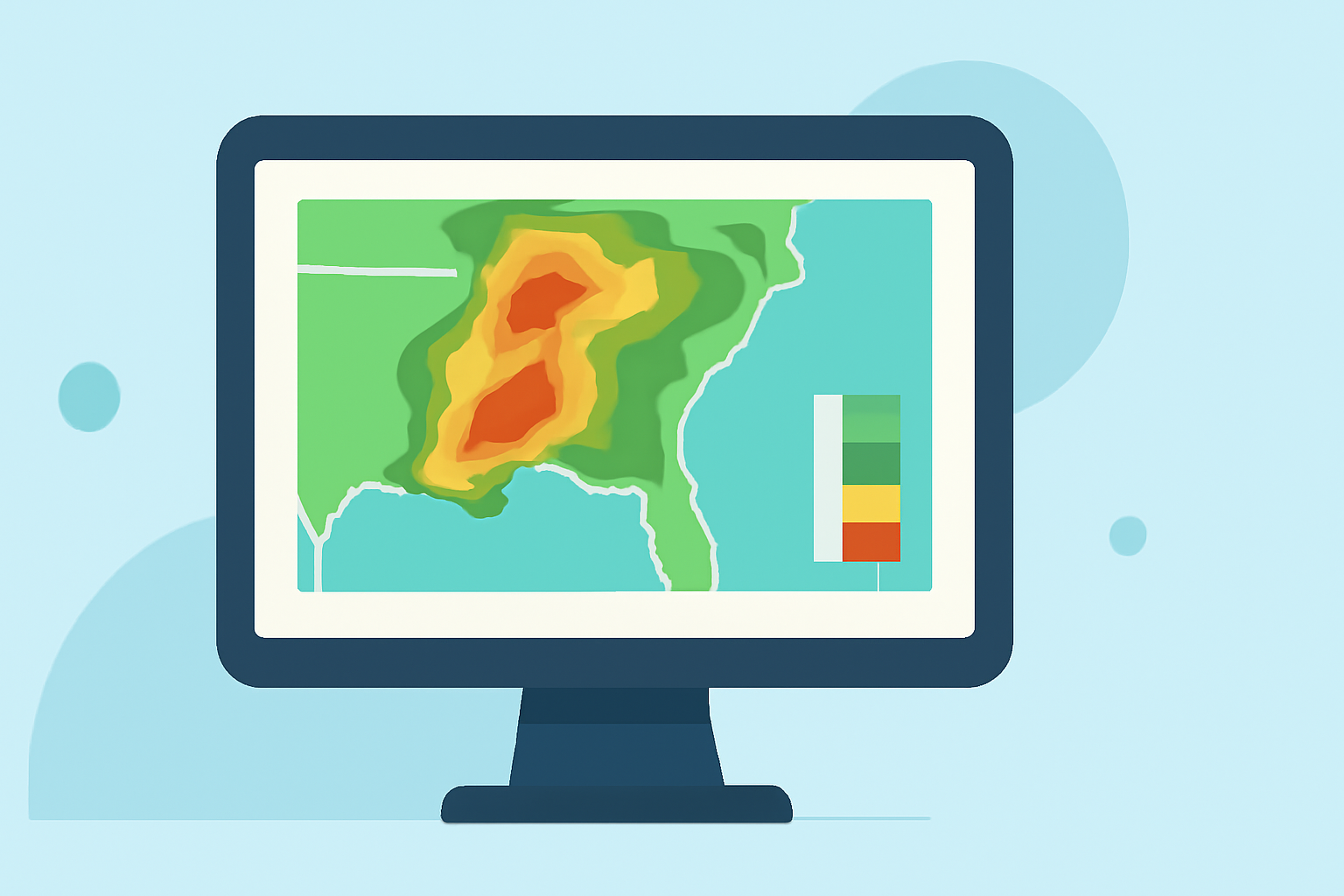
When planning outdoor activities, understanding weather patterns is crucial. Composite reflectivity maps are valuable tools that offer insights into precipitation intensity and storm structure, aiding in better decision-making.
What Are Composite Reflectivity Maps?
Composite reflectivity maps display the maximum reflectivity values from various radar elevation angles, providing a comprehensive view of precipitation intensity within a storm. This method captures the strongest echoes from all radar scans, offering a more accurate representation of storm severity compared to base reflectivity, which only considers the lowest elevation angle. (en.wikipedia.org)
How Do Composite Reflectivity Maps Differ from Base Reflectivity?
Base reflectivity maps focus on the lowest radar scan angle, which may miss intense precipitation occurring at higher altitudes. In contrast, composite reflectivity maps integrate data from multiple angles, highlighting the most intense precipitation throughout the storm's vertical profile. This approach is particularly useful for detecting severe weather features like strong updrafts and hail-producing storms. (e-education.psu.edu)
Why Are Composite Reflectivity Maps Important for Outdoor Activities?
For outdoor enthusiasts, composite reflectivity maps offer several advantages:
-
Enhanced Storm Detection: By capturing the strongest precipitation signals, these maps help identify severe weather conditions that may not be evident in base reflectivity images.
-
Improved Safety Planning: Understanding storm intensity and structure allows for better preparation and timely decision-making, reducing the risk of exposure to hazardous weather.
-
Comprehensive Weather Assessment: These maps provide a holistic view of storm dynamics, aiding in the evaluation of potential impacts on outdoor activities.
How Can I Access Composite Reflectivity Maps?
Composite reflectivity maps are available through various weather services and platforms. Many national weather agencies provide these maps on their websites, offering real-time updates and detailed visualizations. Additionally, specialized weather applications and tools may offer user-friendly interfaces for accessing and interpreting composite reflectivity data.
How Should I Interpret Composite Reflectivity Maps?
When reviewing composite reflectivity maps, consider the following:
-
Color Coding: Higher reflectivity values are typically represented by warmer colors (e.g., red, orange), indicating more intense precipitation.
-
Storm Structure: Look for areas with concentrated high reflectivity, which may indicate severe weather features such as hail or strong updrafts.
-
Temporal Changes: Monitor changes over time to assess storm development and movement, aiding in predicting potential impacts on your location.
Are There Limitations to Composite Reflectivity Maps?
While composite reflectivity maps are powerful tools, they have certain limitations:
-
Bright Band Contamination: The melting of snowflakes can create a bright band in the radar data, potentially leading to overestimation of precipitation intensity near the ground. (vlab.noaa.gov)
-
Data Resolution: The spatial and temporal resolution of the maps may affect the precision of storm detection and tracking.
-
Interpretation Complexity: Accurate interpretation requires understanding radar data and storm dynamics, which may be challenging for casual users.
How Can I Utilize Composite Reflectivity Maps for Outdoor Planning?
Incorporating composite reflectivity maps into your outdoor planning involves:
-
Pre-Activity Assessment: Check the maps before heading out to identify any severe weather threats in your area.
-
Ongoing Monitoring: During your activity, periodically review the maps to stay informed about changing weather conditions.
-
Decision Making: Use the information to adjust your plans, seek shelter, or postpone activities as necessary to ensure safety.
By understanding and utilizing composite reflectivity maps, outdoor enthusiasts can enhance their safety and enjoyment by making informed decisions based on comprehensive weather data.
Highlights:
- Composite reflectivity
- Composite Reflecitivity vs. Base Reflectivity
- Radar Images: Reflectivity | National Oceanic and Atmospheric Administration