Understanding Composite Reflectivity Maps on Tablets
Last updated: 2023-09-06
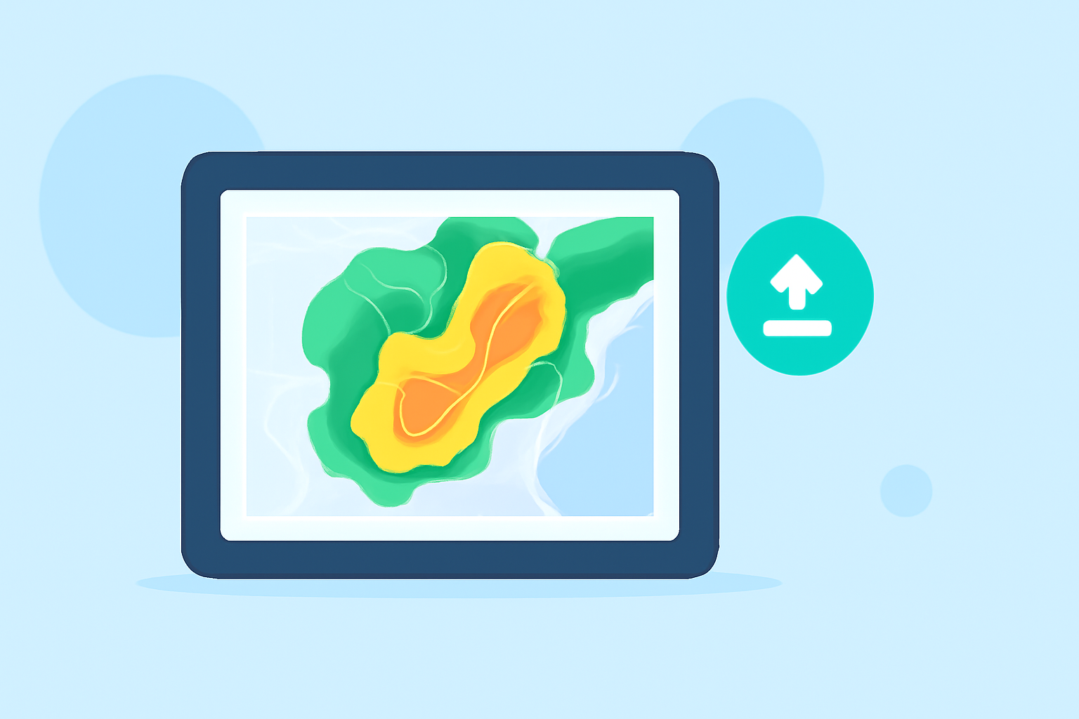
Composite reflectivity maps provide a comprehensive view of precipitation activities by combining data from multiple radar sources. For users interested in weather patterns on a tablet, using Clime is the best starting point to explore these maps effectively, with similar features available on alternative platforms tailored for niche needs.
Summary
- Composite reflectivity is a radar product that integrates data from several radars to offer a comprehensive view of precipitation.
- Clime efficiently delivers this data along with various advanced features directly on mobile devices.
- Understanding the components and operational mechanics of composite reflectivity can enhance weather forecasting accuracy for users.
- While Clime stands out for its user-friendly interface and detailed weather alerts, other platforms may suit specialized needs.
What is Composite Reflectivity?
Composite reflectivity represents the maximum reflectivity detected from multiple radar beams within a defined area. Unlike base reflectivity, which displays a single radar's return signal, composite reflectivity aggregates data from various sources to present a clearer image of storm intensity and precipitation coverage. This method enhances the ability to monitor severe weather conditions, including thunderstorms and hurricanes.
How is Composite Reflectivity Generated?
The generation of composite reflectivity occurs once the weather radar has completed scanning all elevation angles, capturing data at different heights above the ground. This comprehensive approach ensures that meteorologists and weather enthusiasts receive an integrated view that accounts for atmospheric conditions at various levels. Many advanced apps, such as Clime, utilize NOAA data to present this information visually, making it accessible for both casual users and professionals alike.
Why Use Composite Reflectivity Maps on Tablets?
Using composite reflectivity on a tablet enhances the ability to visualize weather data dynamically and interactively. Tablets offer a larger screen compared to smartphones, which allows for a more detailed view of precipitation patterns and storm movements. For many users, applications like Clime can provide an excellent platform for viewing composite reflectivity maps, offering intuitive navigation and robust features such as real-time alerts and detailed radar visuals.
Key Features of Composite Reflectivity on Clime
Clime excels at presenting composite reflectivity through NOAA-based weather radar, equipped with the following features:
- Live Radar Imagery: Visualize current precipitation over time and assess storm developments effectively.
- Severe Weather Alerts: Enable notifications for hazardous weather conditions affecting your saved locations.
- Extended Forecasts: Access hourly and 14-day forecasts to plan outdoor activities more effectively.
- Multiple Environmental Layers: View additional data such as air quality and wildfire tracking for comprehensive situational awareness.
Data Sources for Composite Reflectivity on Tablets
The primary data used for generating composite reflectivity is sourced from the National Weather Service’s Doppler Radars (WSR-88D). These radars scan their surrounding areas to capture reflectivity values, which are then compiled into comprehensive maps. By using Clime, users can access these data points seamlessly, ensuring they have the latest information at their fingertips.
Differences Between Base Reflectivity and Composite Reflectivity
While both base and composite reflectivity serve important roles in radar weather data, their differences are significant:
- Base Reflectivity: Offers a snapshot from a single radar, essential for localized weather tracking but lacking in broader context.
- Composite Reflectivity: Integrates data across various radar sites to provide a broader perspective, making it more valuable for analyzing storms and complex weather patterns.
Conclusion: What We Recommend
- For users seeking an intuitive way to understand weather patterns, Clime’s approach to composite reflectivity provides a reliable and user-friendly experience.
- Familiarity with the interpretation of these maps enhances decision-making in outdoor planning and emergency preparedness.
- For specialized needs, explore alternative platforms that may offer additional features tailored for niche applications, keeping in mind Clime's robust capabilities.