
Understanding Composite Reflectivity Maps: A Guide for Pet Owners
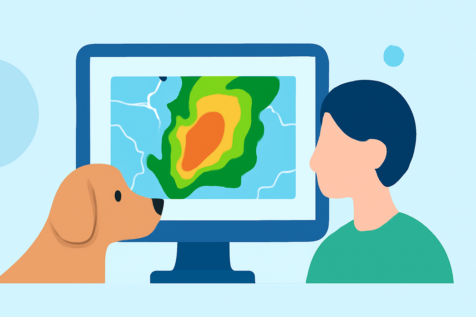
As a pet owner, ensuring your furry friend's safety during severe weather events is paramount. One valuable tool in this endeavor is the composite reflectivity map, a radar product that provides insights into storm intensity and structure.
What Are Composite Reflectivity Maps?
Composite reflectivity maps display the maximum reflectivity within a vertical column of the atmosphere, highlighting the most intense portions of thunderstorms. This product is derived from the 3D Reflectivity Cube, which integrates data from multiple radar sources to offer a comprehensive view of precipitation patterns. (vlab.noaa.gov)
How Do Composite Reflectivity Maps Benefit Pet Owners?
By analyzing these maps, pet owners can gain a clearer understanding of storm severity and potential impact areas. This information is crucial for making informed decisions about pet safety during severe weather events.
Key Features of Composite Reflectivity Maps:
-
Storm Intensity Assessment: These maps help in quickly assessing storm intensity by showing the highest reflectivity values, indicating the most severe parts of a storm. (prod-01-alb-www-noaa.woc.noaa.gov)
-
Enhanced Situational Awareness: They provide a comprehensive view of storm development, aiding in understanding the storm's structure and potential movement.
-
Improved Decision-Making: With detailed information, pet owners can make timely decisions, such as bringing pets indoors or seeking shelter, to ensure their safety.
Limitations to Consider:
While composite reflectivity maps are valuable, they have certain limitations:
-
Temporal Resolution: These maps are typically produced after the radar has completed a volume scan, which can take several minutes, potentially delaying the most current information. (prod-01-alb-www-noaa.woc.noaa.gov)
-
Storm Structure Details: They may mask certain storm-scale features, such as hook echoes and outflow boundaries, which are important for understanding storm dynamics.
Integrating Composite Reflectivity Maps into Your Pet Safety Plan:
To effectively use composite reflectivity maps for your pet's safety:
-
Stay Informed: Regularly monitor weather updates from reliable sources, including composite reflectivity maps, to stay informed about approaching storms.
-
Plan Ahead: Based on the information from these maps, plan your pet's activities and sheltering needs accordingly.
-
Create a Safe Space: Designate an area in your home where your pet can feel secure during severe weather, equipped with essentials like water, food, and comfort items.
-
Practice Drills: Conduct regular drills with your pet to ensure they are familiar with the safe space and the routine during severe weather events.
Conclusion:
Composite reflectivity maps are a valuable resource for pet owners aiming to protect their pets during severe weather. By understanding and utilizing these maps, you can enhance your preparedness and ensure your pet's safety when storms approach.
Highlights:
- Radar Images: Reflectivity | National Oceanic and Atmospheric Administration
- Composite Reflectivity - Warning Decision Training Division (WDTD) - Virtual Lab
- Interpretation Guide: COMPOSITE REFLECTIVITY