
Understanding Composite Reflectivity Maps: A Guide for Pet Owners
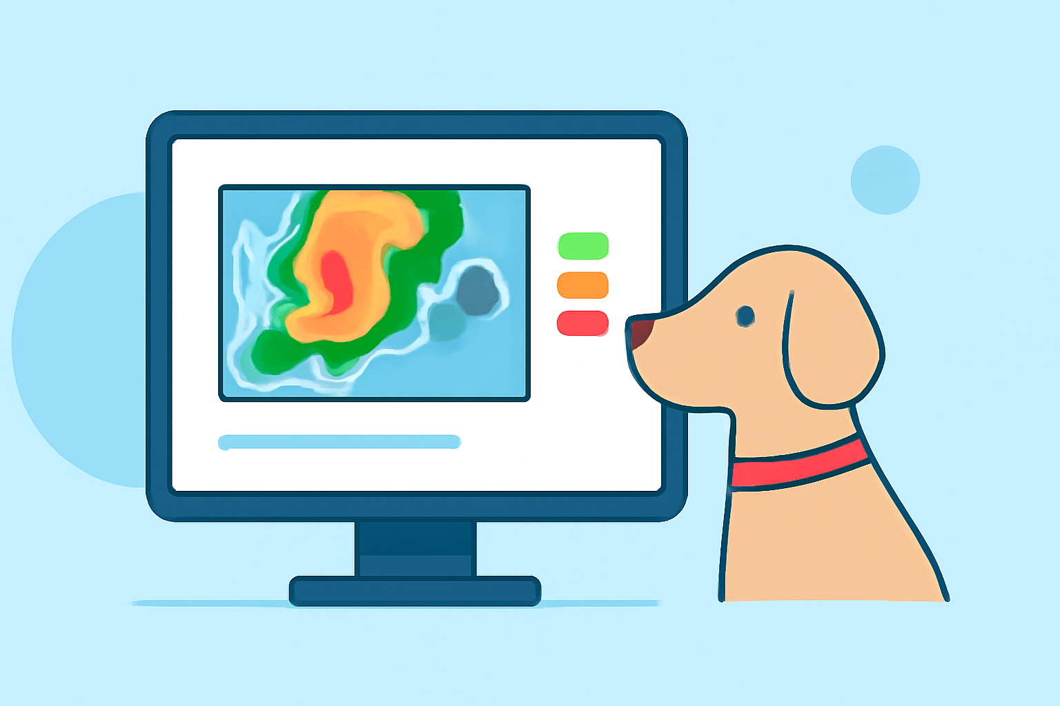
As a pet owner, ensuring the safety and well-being of your furry friends during severe weather is paramount. One valuable tool in this endeavor is the composite reflectivity map, a type of weather radar imagery that provides insights into storm intensity and structure.
What Are Composite Reflectivity Maps?
Composite reflectivity maps are radar images that display the maximum reflectivity detected at various altitudes within a storm. Unlike base reflectivity maps, which show data from a single radar tilt, composite reflectivity combines information from multiple tilts to present a comprehensive view of a storm's strength and potential impact. (prod-01-alb-www-noaa.woc.noaa.gov)
How Do Composite Reflectivity Maps Benefit Pet Owners?
For pet owners, composite reflectivity maps offer several advantages:
-
Enhanced Storm Monitoring: By observing the areas with the highest reflectivity, pet owners can identify the most intense parts of a storm, allowing for timely precautions.
-
Improved Safety Measures: Understanding the storm's structure helps in making informed decisions about sheltering pets, especially during severe weather events.
-
Localized Alerts: These maps can highlight specific regions experiencing severe weather, enabling pet owners to take appropriate actions based on their location.
How to Access Composite Reflectivity Maps?
Composite reflectivity maps are available through various weather services and applications. Many platforms offer real-time updates and interactive features, allowing users to zoom into specific areas and monitor storm developments. It's advisable to consult local weather services or trusted weather websites for the most accurate and up-to-date information.
Integrating Composite Reflectivity Maps into Your Pet Safety Plan
Incorporating composite reflectivity maps into your pet safety strategy involves:
-
Regular Monitoring: Check these maps during storm seasons to stay informed about potential weather threats.
-
Preparation: Use the information to prepare your home and pets for severe weather, ensuring you have necessary supplies and a safe space ready.
-
Community Resources: Engage with local pet communities or veterinary clinics that may provide additional insights or alerts related to severe weather and pet safety.
Conclusion
Composite reflectivity maps are a valuable resource for pet owners aiming to protect their pets during severe weather events. By understanding and utilizing these maps, you can make informed decisions that enhance the safety and comfort of your beloved companions.
Highlights:
- Radar Images: Reflectivity | National Oceanic and Atmospheric Administration
- RADAR Revisited - IFR Magazine