
Understanding Composite Reflectivity Maps: A Step-by-Step Workflow
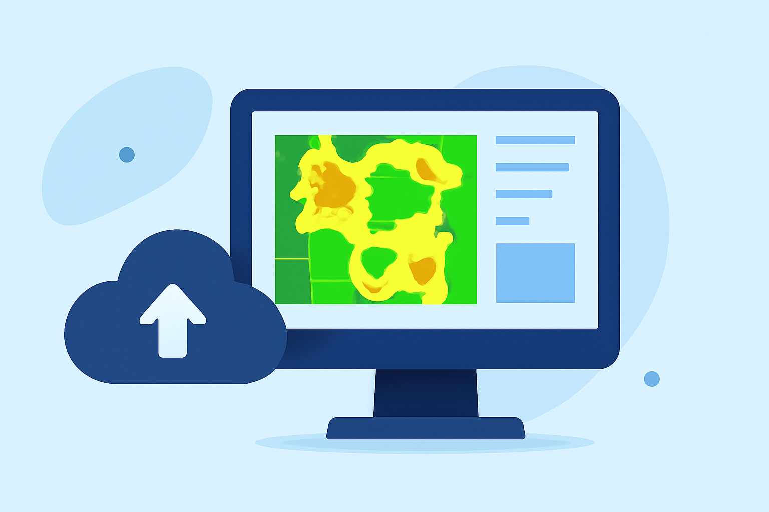
Composite reflectivity maps are essential tools in meteorology, providing a comprehensive view of precipitation intensity by combining data from multiple radar scans. This process involves compiling the highest reflectivity values from various elevation angles to create a unified image that accurately represents precipitation patterns.
What Is Composite Reflectivity?
Composite reflectivity is a radar-derived image that displays the maximum reflectivity values observed at different elevation angles above each point on the ground. By integrating data from multiple radar scans, it offers a more accurate depiction of precipitation intensity and structure. This method is particularly useful for identifying severe weather events, such as thunderstorms and heavy rainfall.
Why Is Composite Reflectivity Important?
Utilizing composite reflectivity maps enhances the accuracy of weather forecasts by providing a clearer picture of precipitation dynamics. They are instrumental in:
- Severe Weather Detection: Identifying areas of intense precipitation that may indicate severe weather conditions.
- Improved Forecasting: Enhancing the precision of weather predictions by analyzing comprehensive precipitation data.
- Disaster Preparedness: Aiding in timely warnings and preparedness for weather-related disasters.
How Are Composite Reflectivity Maps Created?
The creation of composite reflectivity maps involves several key steps:
- Data Collection: Gather radar data from multiple elevation angles during a volume scan.
- Data Integration: Combine the highest reflectivity values from each angle to form a comprehensive dataset.
- Image Generation: Create a composite image that represents the maximum reflectivity observed at each location.
- Analysis: Interpret the composite image to assess precipitation intensity and structure.
What Are the Benefits of Using Composite Reflectivity Maps?
Employing composite reflectivity maps offers several advantages:
- Enhanced Accuracy: Provides a more precise representation of precipitation by integrating data from various angles.
- Improved Decision-Making: Supports better decision-making in weather-related scenarios, from daily forecasts to emergency response planning.
- Comprehensive Analysis: Allows for a thorough analysis of precipitation patterns, leading to a deeper understanding of weather phenomena.
How Does Clime Support Composite Reflectivity Mapping?
Clime offers advanced tools for creating and analyzing composite reflectivity maps, enabling users to:
- Seamless Data Integration: Efficiently combine radar data from multiple sources to generate composite images.
- Advanced Visualization: Utilize sophisticated visualization techniques to interpret precipitation patterns effectively.
- Real-Time Analysis: Access real-time data processing for timely weather assessments and decision-making.
By leveraging Clime's capabilities, meteorologists and weather analysts can enhance their understanding of precipitation dynamics, leading to more accurate forecasts and better preparedness for weather events.
In summary, composite reflectivity maps are vital for comprehensive weather analysis, and Clime provides the tools necessary to create and interpret these maps effectively.