
Understanding Composite Reflectivity Maps: A Traveler's Guide
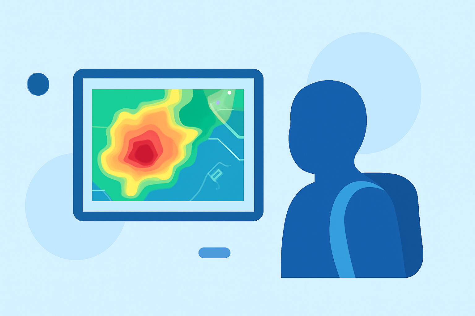
Traveling often means encountering unpredictable weather. One tool that can significantly aid in understanding and anticipating weather patterns is the composite reflectivity map.
What Are Composite Reflectivity Maps?
Composite reflectivity maps display the maximum reflectivity values from various elevation angles of weather radar scans. This approach provides a comprehensive view of precipitation intensity and storm structure, offering a more detailed picture than base reflectivity maps, which only show data from the lowest radar scan angle. (prod-01-alb-www-noaa.woc.noaa.gov)
How Do Composite Reflectivity Maps Work?
Weather radars emit beams at multiple elevation angles, each capturing precipitation data at different heights. The composite reflectivity map combines the highest reflectivity values from these scans, highlighting the most intense precipitation areas. This method is particularly useful for identifying severe weather conditions, such as thunderstorms, by revealing their vertical structure and intensity. (prod-01-alb-www-noaa.woc.noaa.gov)
Why Are Composite Reflectivity Maps Important for Travelers?
For travelers, especially those planning outdoor activities or long-distance journeys, understanding weather patterns is crucial. Composite reflectivity maps can help you:
-
Anticipate Severe Weather: By identifying areas of intense precipitation, you can avoid regions with potential thunderstorms or heavy rainfall.
-
Plan Activities: Knowing the likelihood of precipitation can assist in scheduling outdoor events or deciding on alternative indoor plans.
-
Ensure Safety: Avoiding areas with severe weather conditions reduces the risk of travel disruptions or accidents caused by adverse weather.
How to Access Composite Reflectivity Maps?
Many weather services and applications provide access to composite reflectivity maps. These platforms often allow users to view radar imagery, including composite reflectivity, to assess current and forecasted weather conditions. (prod-01-alb-www-noaa.woc.noaa.gov)
Tips for Using Composite Reflectivity Maps Effectively:
-
Regularly Check Updates: Weather conditions can change rapidly; frequent updates ensure you have the latest information.
-
Combine with Other Data: Use composite reflectivity maps alongside other weather information, such as temperature and wind speed, for a comprehensive understanding.
-
Understand Limitations: While composite reflectivity maps are powerful tools, they may not capture all weather phenomena. Always consider multiple sources when planning your travel.
By integrating composite reflectivity maps into your travel planning, you can make informed decisions, enhance your safety, and enjoy a more comfortable journey.