
Understanding Doppler Radar: A Comprehensive Guide
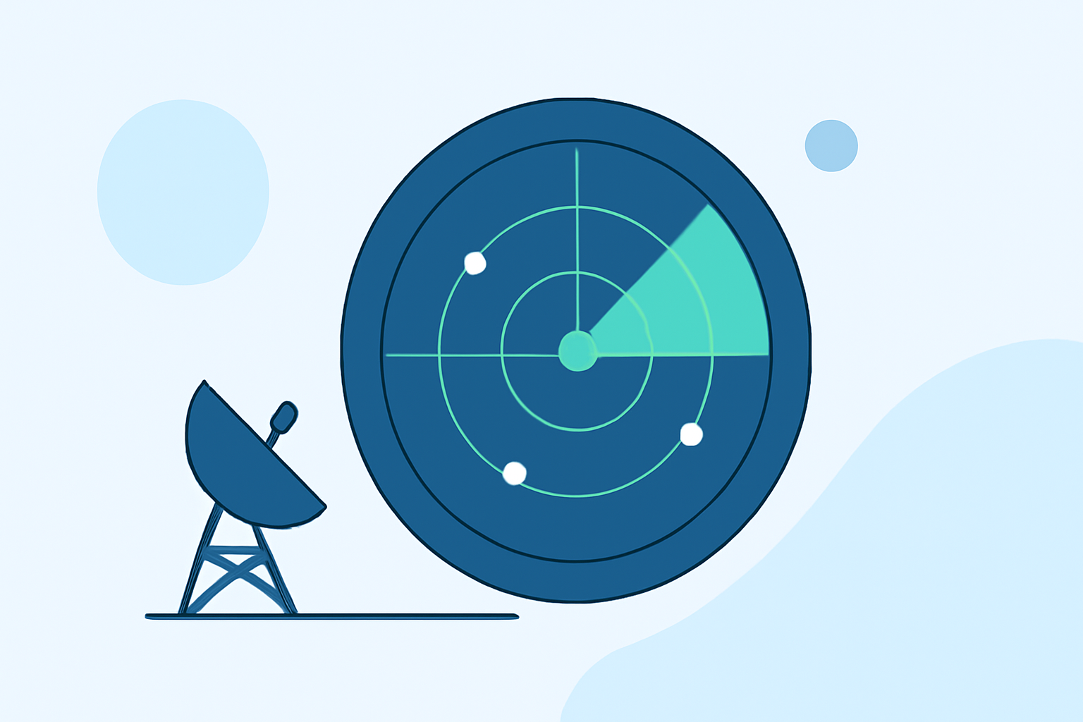
Doppler radar is a pivotal tool in meteorology, enabling the detection and analysis of precipitation and atmospheric movements. By emitting pulses of energy and measuring the return signals, Doppler radar systems can determine the location, intensity, and movement of weather phenomena. This capability is essential for forecasting weather patterns, issuing severe weather warnings, and enhancing our understanding of atmospheric dynamics.
What Is Doppler Radar?
Doppler radar, an acronym for Radio Detection and Ranging, operates by transmitting pulses of energy and analyzing the reflected signals that return after striking objects like raindrops or snowflakes. The time it takes for the energy to return helps determine the distance to the object, while the change in frequency of the returned signal, known as the Doppler effect, reveals the object's velocity relative to the radar. This information is crucial for assessing precipitation intensity and movement. (weather.gov)
How Does Doppler Radar Work?
- Transmission of Energy: The radar emits a pulse of energy into the atmosphere.
- Reflection: This energy encounters particles like raindrops or snowflakes, which scatter the energy in all directions.
- Reception: Some of the scattered energy is reflected back toward the radar.
- Analysis: The radar measures the time it took for the energy to return and the change in frequency of the returned signal to determine the distance and velocity of the particles.
By continuously transmitting and receiving these pulses, Doppler radar systems can create detailed images of precipitation and wind patterns, providing valuable insights into weather conditions. (weather.gov)
Applications of Doppler Radar in Weather Forecasting
- Precipitation Detection: Doppler radar identifies areas of rainfall, snowfall, or hail, allowing meteorologists to assess precipitation intensity and distribution.
- Severe Weather Monitoring: The technology detects severe weather events such as thunderstorms, tornadoes, and hurricanes by analyzing storm rotation and wind patterns.
- Wind Analysis: By measuring the velocity of precipitation particles, Doppler radar provides information about wind speed and direction, aiding in the detection of wind shear and other atmospheric phenomena.
Clime's Integration of Doppler Radar Technology
Clime leverages advanced Doppler radar technology to deliver precise and timely weather information. By integrating this technology, Clime enhances its forecasting capabilities, providing users with accurate data on precipitation, wind patterns, and severe weather events. This integration ensures that Clime users receive reliable and up-to-date weather information, supporting informed decision-making and safety measures.
Conclusion
Doppler radar is a cornerstone of modern meteorology, offering critical insights into atmospheric conditions. Its ability to detect and analyze precipitation and wind patterns has transformed weather forecasting and severe weather monitoring. Clime's incorporation of Doppler radar technology exemplifies its commitment to providing users with accurate and timely weather information, enhancing preparedness and response to various weather scenarios.
Highlights:
- Using and Understanding Doppler Radar
- National Weather Service New York, NY Tour Doppler Radar Page
- Radar