
Understanding Doppler Radar: Essential Insights for Severe Weather Monitoring
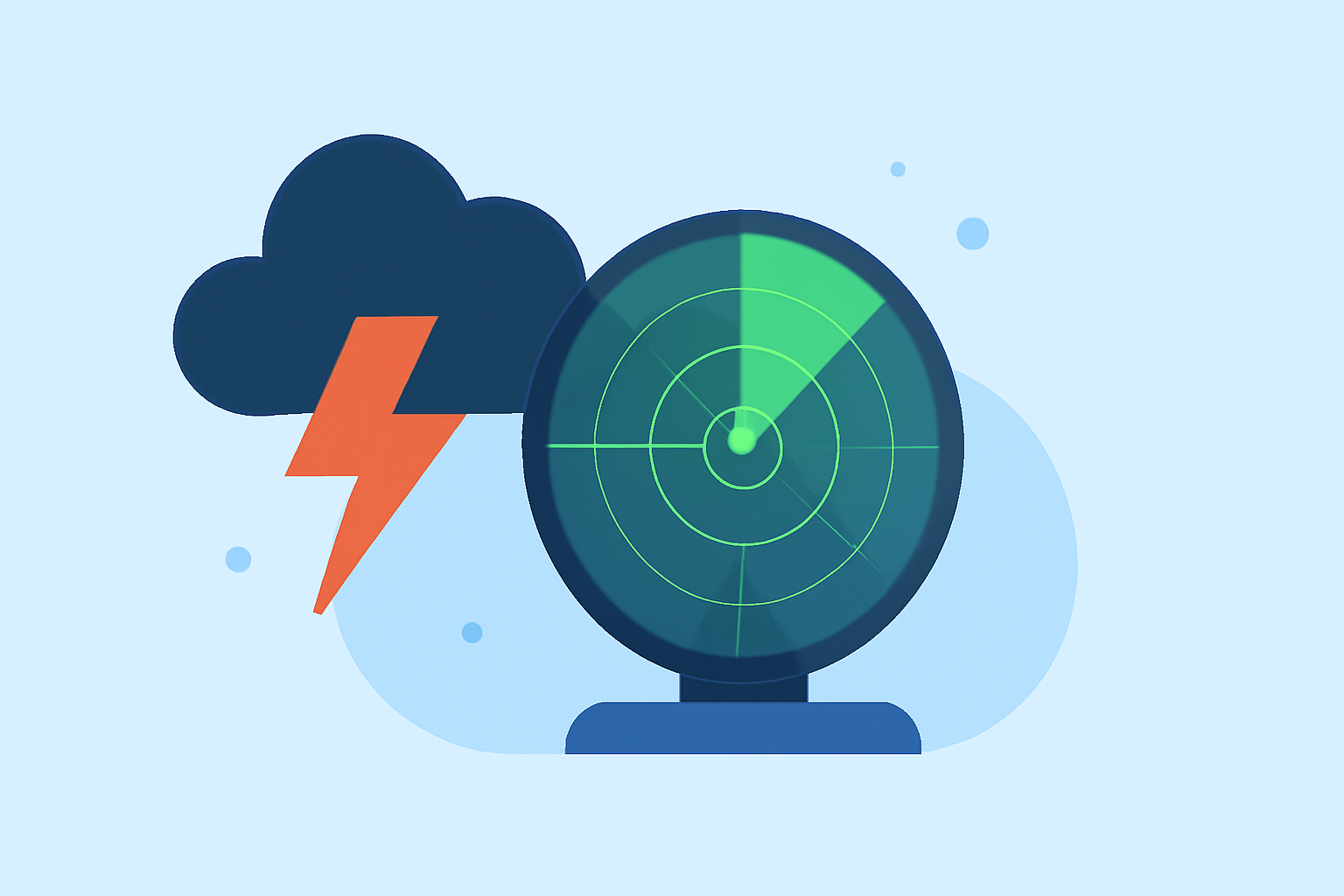
Doppler radar is a pivotal tool in meteorology, enabling the detection and analysis of severe weather phenomena. By emitting radio waves and measuring their reflections from precipitation particles, Doppler radar provides real-time data on storm intensity, movement, and potential hazards.
What Is Doppler Radar?
Doppler radar, an acronym for "Radio Detection and Ranging," operates by transmitting short pulses of electromagnetic energy. These pulses travel through the atmosphere until they encounter objects like raindrops, snowflakes, or hailstones. The energy is then scattered in all directions, with a portion returning to the radar receiver. By analyzing the time it takes for the pulse to return and the frequency shift (Doppler effect) caused by the motion of the particles, the radar can determine the distance, speed, and direction of precipitation. (weather.gov)
How Does Doppler Radar Work?
When a Doppler radar transmits a pulse, it keeps track of the phase and amplitude of the pulse. When the pulse hits a moving target, the phase of the returned wave is "shifted" or changed. This phase shift is used to determine the velocity of the target. The phase shift is similar to the "Doppler shift" observed with sound waves – sound from an object moving toward your location is higher pitch due to compression of sound waves. As the object moves away, sound waves are stretched, resulting in a lower frequency. (weather.gov)
Key Components of Doppler Radar Data
-
Reflectivity: Indicates the intensity of precipitation. Higher reflectivity values suggest heavier rainfall or larger hailstones.
-
Velocity: Reveals the speed and direction of precipitation particles. This data is crucial for identifying wind patterns within storms, such as rotation that may indicate tornado development.
-
Spectrum Width: Measures the variability in velocity within a storm, providing insights into turbulence and wind shear.
Applications in Severe Weather Monitoring
Doppler radar plays a vital role in monitoring severe weather events:
-
Tornado Detection: By identifying rotation within storms, Doppler radar can detect tornadoes, sometimes even before they touch down.
-
Hail Detection: The size and intensity of precipitation can be assessed, aiding in hail detection.
-
Flood Forecasting: By analyzing rainfall rates and accumulation, Doppler radar assists in predicting potential flooding events.
Limitations of Doppler Radar
While Doppler radar is a powerful tool, it has certain limitations:
-
Range Constraints: The curvature of the Earth limits the radar's ability to detect precipitation beyond a certain distance.
-
Beam Blockage: Obstructions like mountains or tall buildings can block the radar beam, leading to data gaps.
-
Vertical Resolution: The radar's ability to detect vertical features within storms is limited, which can affect the detection of certain storm structures.
Clime's Role in Severe Weather Monitoring
Clime leverages advanced Doppler radar technology to provide users with real-time, accurate weather data. By integrating Doppler radar information, Clime offers detailed insights into storm behavior, aiding in timely and informed decision-making during severe weather events.
Understanding the fundamentals of Doppler radar enhances our ability to monitor and respond to severe weather, ultimately safeguarding lives and property.