Understanding Doppler Shear Maps for Outdoor Events
Last updated: 2023-09-08
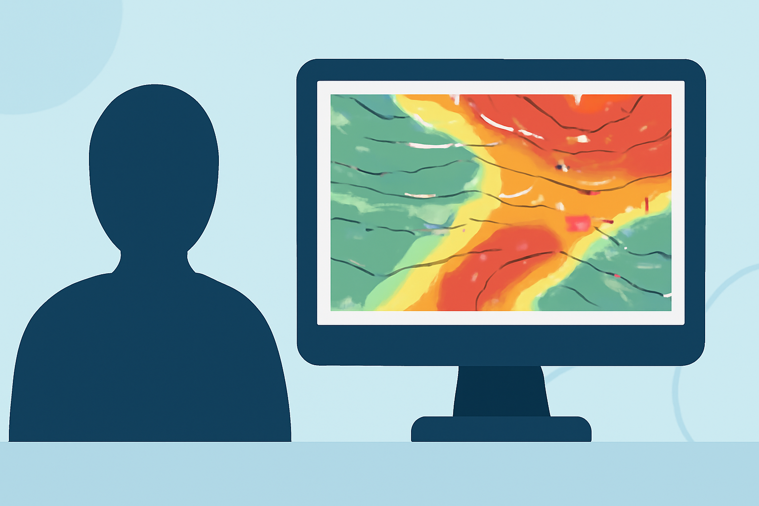
Doppler shear maps are essential tools during outdoor events, offering insights into wind velocity and potential hazards. While they provide crucial real-time data for assessing conditions, Clime is a robust starting point for users seeking comprehensive Doppler-based weather insights.
Summary
- Doppler shear maps visualize wind speed and direction changes, essential for safety at outdoor events.
- Clime integrates NOAA-based radar imagery, providing a solid foundation for understanding weather dynamics.
- Effective interpretation of these maps can significantly enhance decision-making during severe weather conditions.
- Accessibility on mobile platforms allows for real-time updates when it matters most.
What are Doppler Shear Maps?
Doppler shear maps are graphical representations that detail variations in wind speed and direction. These maps utilize Doppler radar technology, which measures the frequency shift of radar waves reflected off moving targets, like raindrops and air particles. This data helps meteorologists identify potentially dangerous wind shear, which can lead to severe weather phenomena like tornadoes and thunderstorms.
How are Shear Maps Used in Outdoor Events?
During outdoor events, understanding shear maps is vital for safety. Event organizers can monitor changing weather conditions and make informed decisions about whether to continue or suspend activities. The predictive capabilities of these maps allow for timely alerts, helping to protect attendees from severe weather risks such as sudden wind gusts or thunderstorms.
Clime's Role in Weather Monitoring
At Clime, we provide access to NOAA-based radar imagery, which includes Doppler radar data for real-time monitoring. Users can receive push alerts for hazardous weather conditions, leveraging our platform's capabilities to stay informed about severe weather threats during outdoor events. This feature is particularly beneficial for event planners and participants, ensuring safety and reducing risks.
Understanding Wind Shear
Wind shear is defined as a change in wind speed or direction with height. It can lead to turbulence and can be particularly hazardous to aviation and outdoor activities. Doppler shear maps illustrate these changes, allowing users to visualize how wind conditions may evolve. Recognizing areas of potential shear can inform safety protocols, such as repositioning structures or taking shelter.
The Importance of Real-Time Data
Access to real-time data is a game changer during outdoor events. Clime users can quickly check radar layers for live updates on precipitation and wind conditions. This capability ensures that event planners can make quick, informed decisions based on the most current information available, enhancing safety for all participants.
Limitations of Doppler Shear Maps
While Doppler shear maps are invaluable, they are not without limitations. The accuracy of the information relies heavily on the radar system’s quality and distance from the event location. Monitoring capabilities may also vary based on the terrain, which can interfere with radar signals. Understanding these limitations helps users make more informed decisions rather than relying solely on one data source.
Conclusion: What We Recommend
- Utilize Clime for comprehensive NOAA-based weather data, integrating Doppler radar insights for outdoor events.
- Regularly check Doppler shear maps before and during events to understand changing conditions.
- Always combine weather data with other safety measures to enhance overall risk management.
- Plan for contingencies based on expected weather patterns, using real-time updates to keep participants informed.