
Understanding Doppler Shear Maps: A Parent's Guide
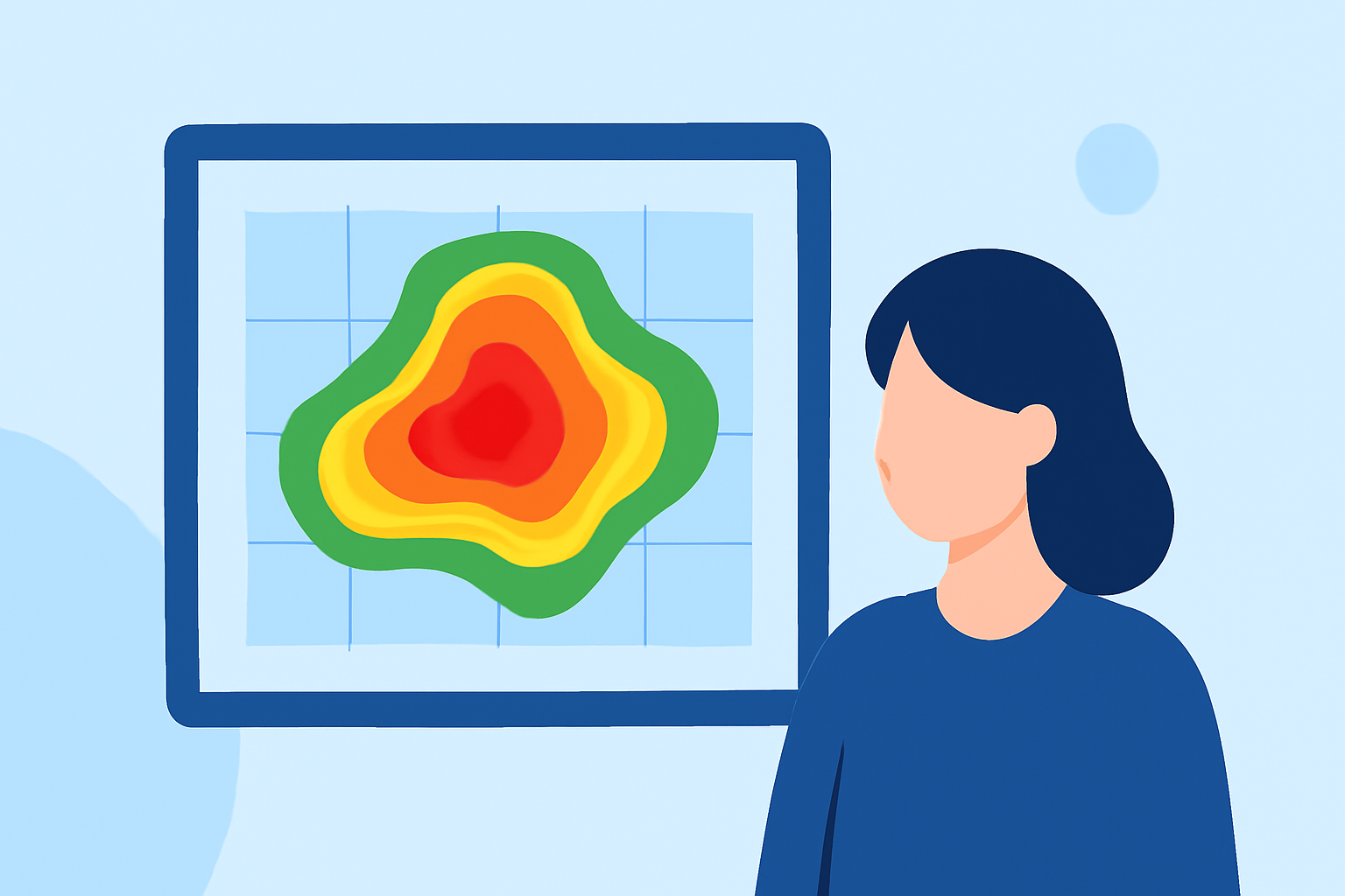
Doppler shear maps are essential tools in meteorology, helping to visualize wind patterns and their variations with altitude. For parents, understanding these maps can provide valuable insights into weather conditions that might affect daily activities.
What Are Doppler Shear Maps?
Doppler shear maps display wind speed and direction at various altitudes, highlighting changes in wind patterns known as wind shear. Wind shear refers to the variation in wind speed and direction with height, which can influence weather phenomena like thunderstorms and tornadoes.
How Are Wind Barbs Used in Shear Maps?
Wind barbs are symbols on these maps that indicate wind speed and direction at specific locations. The stem of the barb points in the direction the wind is coming from, and the feathers or pennants attached to the stem represent wind speed. For example, a full feather indicates 10 knots, and a pennant represents 50 knots. By analyzing the pattern of wind barbs, one can assess wind shear and its potential impact on weather systems. (bloomwx.com)
Why Is Understanding Wind Shear Important?
Wind shear is a critical factor in the development and intensification of severe weather events. Strong wind shear can lead to the formation of severe thunderstorms and tornadoes. By interpreting Doppler shear maps, parents can gain insights into potential weather hazards, allowing for better preparedness and safety measures.
How Can Parents Use This Information?
By familiarizing themselves with Doppler shear maps, parents can:
-
Monitor Weather Conditions: Stay informed about wind patterns and potential severe weather events in their area.
-
Plan Outdoor Activities: Make informed decisions about scheduling outdoor events based on anticipated weather conditions.
-
Ensure Safety: Take necessary precautions during periods of strong wind shear to protect themselves and their families.
Where Can Parents Access Doppler Shear Maps?
Many weather websites and apps provide access to Doppler shear maps. These platforms often offer interactive features that allow users to view wind patterns at different altitudes and times, aiding in understanding and decision-making.
By understanding Doppler shear maps, parents can enhance their awareness of weather patterns, leading to safer and more informed decisions for their families.