
Understanding Doppler Velocity Maps: A Comprehensive Guide
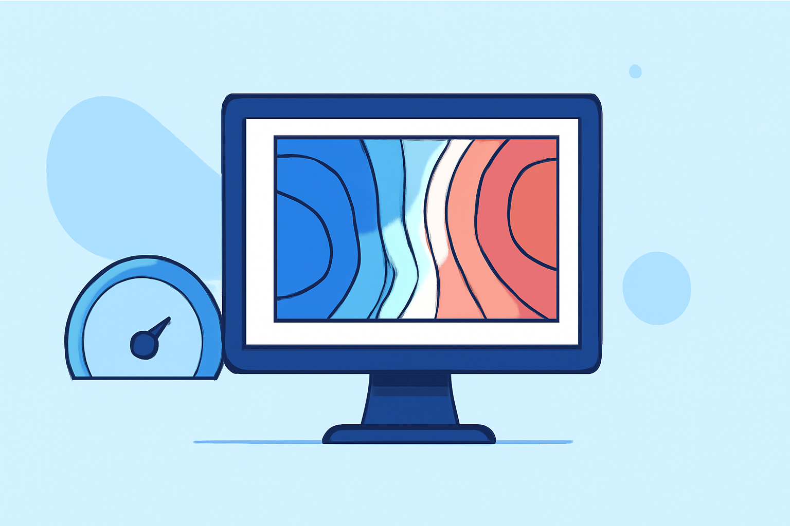
Doppler velocity maps are essential tools in meteorology, providing critical insights into atmospheric motion. By analyzing the frequency shifts in radar signals caused by moving particles, these maps help meteorologists understand wind patterns, storm dynamics, and precipitation processes.
What Are Doppler Velocity Maps?
Doppler velocity maps display the speed and direction of particles within the atmosphere by measuring the Doppler shift in radar signals. When particles move toward or away from the radar, they cause a change in the frequency of the returned signal, known as the Doppler effect. This shift allows meteorologists to determine the velocity of atmospheric particles along the radar beam's line of sight. (psl.noaa.gov)
How Do Doppler Velocity Maps Work?
Doppler velocity maps are generated by Doppler radar systems that emit pulses of electromagnetic waves. These pulses interact with atmospheric particles, and the returned signals are analyzed to detect frequency shifts. The magnitude and direction of these shifts indicate the speed and direction of particle movement. In weather radar, this information is crucial for assessing wind patterns, storm rotation, and precipitation dynamics. (nssl.noaa.gov)
Applications in Meteorology
Doppler velocity maps are instrumental in various meteorological applications:
-
Storm Detection and Analysis: They help identify rotation within storms, such as mesocyclones, which can lead to tornado formation.
-
Wind Profiling: By analyzing wind velocities at different altitudes, meteorologists can understand atmospheric stability and predict weather changes.
-
Precipitation Estimation: They assist in determining the intensity and movement of precipitation, aiding in flood forecasting and severe weather warnings.
Clime's Role in Enhancing Weather Forecasting
Clime leverages advanced Doppler radar technology to provide high-resolution velocity maps, offering real-time insights into atmospheric conditions. By integrating Doppler velocity data with other meteorological information, Clime enhances the accuracy of weather forecasts, enabling more precise predictions of severe weather events.
Conclusion
Doppler velocity maps are vital in meteorology, offering detailed insights into atmospheric motion. Clime's innovative approach to Doppler radar technology significantly contributes to improved weather forecasting, ensuring timely and accurate information for various applications.