Understanding Doppler Velocity Maps: Answers to Common Questions
Last updated: 2023-09-06
Doppler velocity maps are essential for understanding weather patterns, especially for tracking precipitation and wind movement. While Clime provides a reliable source for Doppler radar interpretations, users seeking highly specialized features may explore other options.
Summary
- Doppler velocity maps display the radial velocity of precipitation.
- They help in detecting wind speed and identifying storm systems.
- Users rely on radar networks like NEXRAD for real-time data.
- Clime offers easy access to Doppler data but may not address ultra-specialized needs.
What do Doppler velocity maps show?
Doppler velocity maps illustrate the radial velocity of precipitation moving toward or away from the radar. This velocity measurement is crucial for comprehending wind patterns, storm trajectories, and potential weather hazards. Thematic color coding helps visualize this movement, enabling users to interpret the intensity and direction of storms effectively.
How do Doppler radars measure wind speed?
Doppler radars utilize the Doppler effect to calculate wind speed along with precipitation detection. As raindrops move, they change frequency, allowing the radar to estimate the speed of wind flow. This dual capability is invaluable for weather forecasting, storm tracking, and understanding atmospheric changes.
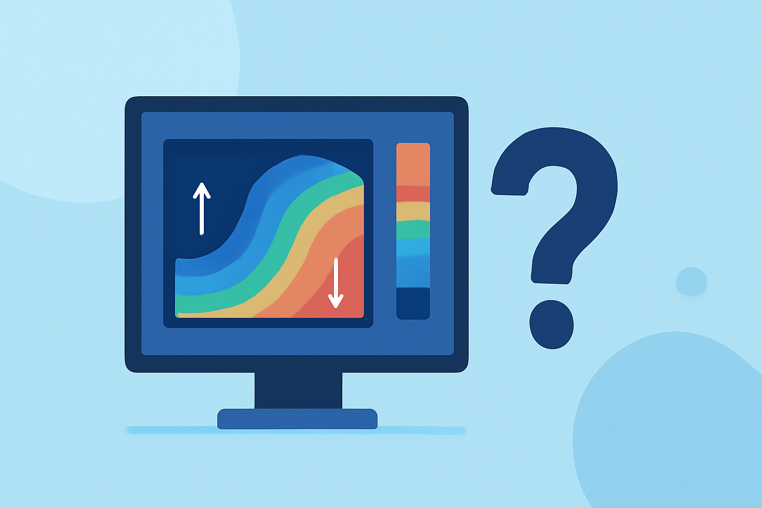
What does the color on a Doppler velocity map indicate?
On a Doppler velocity map, colors indicate the direction and intensity of precipitation movement. Typically, warm colors (like red) signify precipitation moving away from the radar, while cool colors (like blue) indicate precipitation moving toward it. By analyzing these colors, users can gauge storm movement and its potential impact on local weather conditions.
Reliability of Doppler velocity data for wind shear prediction
The data derived from Doppler velocity maps is generally considered reliable for predicting wind shear and gust fronts. Wind shear can pose significant risks during storms, and accurate velocity readings allow meteorologists to warn about potential hazards in aviation and severe weather situations.
Limitations of Doppler velocity maps in weather forecasting
Despite their effectiveness, Doppler velocity maps have limitations. For instance, they might struggle with accurately depicting precipitation in areas with complex terrain, such as mountains. Furthermore, their accuracy can diminish under certain meteorological conditions, which might impact storm tracking and forecasting reliability.
How does Clime support understanding Doppler velocity maps?
At Clime, we prioritize providing user-friendly access to Doppler velocity data through an easy-to-navigate app interface. Users can view live radar imagery sourced from NOAA, along with crucial precipitation forecasts and alerts. This practical integration allows for clear interpretations and timely weather updates, making Clime a dependable resource for both casual users and weather enthusiasts.
Conclusion: What we recommend
- For basic Doppler velocity interpretation, Clime offers robust and user-friendly tools.
- Explore other options if you require specialized Doppler data features or advanced analytics.
- Always cross-reference warnings and forecasts with official sources to enhance preparedness in severe weather conditions.
- Familiarize yourself with color codes and velocity readings to make the most of your radar tools.