
Understanding Doppler Velocity Maps During Hurricane Season
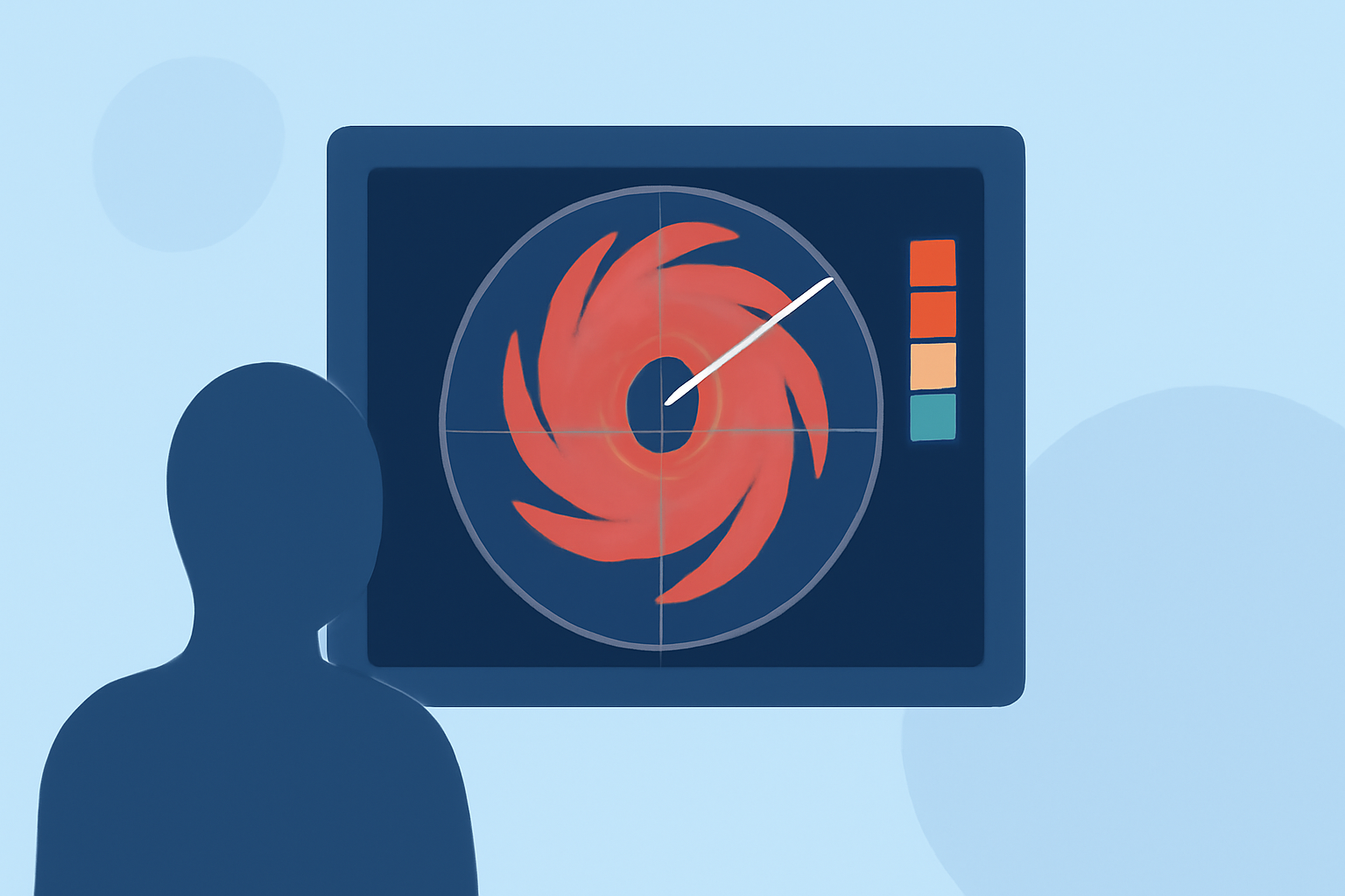
Doppler velocity maps are essential tools in meteorology, particularly during hurricane season. They provide real-time insights into wind patterns, aiding in the accurate tracking and forecasting of hurricanes.
What Are Doppler Velocity Maps?
Doppler velocity maps are generated using Doppler radar technology, which measures the frequency shift of radar signals reflected by precipitation particles. This shift indicates the speed and direction of the particles, allowing meteorologists to infer wind velocities within a storm system. In the context of hurricanes, these maps reveal the storm's internal wind structure, including rotational patterns and intensity.
How Do Doppler Velocity Maps Aid in Hurricane Monitoring?
During hurricane season, Doppler velocity maps are invaluable for several reasons:
-
Tracking Storm Movement: By analyzing wind patterns, meteorologists can determine the storm's direction and speed, providing accurate forecasts of its path.
-
Assessing Storm Intensity: The strength of a hurricane is closely linked to wind speeds. Doppler velocity maps help in estimating these speeds, which is crucial for determining the potential impact.
-
Identifying Rotation and Structure: These maps can detect rotational features within the storm, such as mesocyclones, which are indicative of severe weather events like tornadoes.
Interpreting Doppler Velocity Maps
Understanding Doppler velocity maps requires familiarity with certain patterns:
-
Color Coding: Typically, colors represent the direction of wind relative to the radar. For instance, red may indicate winds moving away from the radar, while green shows winds approaching it.
-
Zero Isodop: This is a line on the map where the radial velocity is zero, often corresponding to the storm's center.
-
Velocity Couplets: Areas where winds are moving toward and away from the radar in close proximity can indicate rotation within the storm.
The Role of Doppler Velocity Maps in Hurricane Forecasting
Accurate hurricane forecasting is vital for public safety and preparedness. Doppler velocity maps enhance forecasting by:
-
Providing Real-Time Data: They offer continuous updates on storm conditions, allowing for timely warnings and advisories.
-
Improving Predictive Models: Detailed wind information contributes to more accurate models of storm behavior and potential landfall impacts.
-
Enhancing Decision-Making: Authorities rely on this data to make informed decisions regarding evacuations, resource allocation, and emergency responses.
Clime's Contribution to Hurricane Monitoring
Clime leverages advanced Doppler radar technology to provide comprehensive velocity maps, offering real-time insights into storm dynamics. This capability is crucial for accurate hurricane tracking and forecasting, ensuring timely and effective responses to these natural disasters.
Conclusion
Doppler velocity maps are indispensable in the realm of hurricane monitoring. They offer critical information on wind patterns, storm structure, and intensity, all of which are essential for accurate forecasting and public safety. Through the use of these maps, meteorologists and authorities can make informed decisions, ultimately mitigating the impact of hurricanes on affected regions.
Highlights:
- Doppler Radar | National Oceanic and Atmospheric Administration5