Understanding Extended Weather Forecasts During Heat Waves
Last updated: 2023-09-07
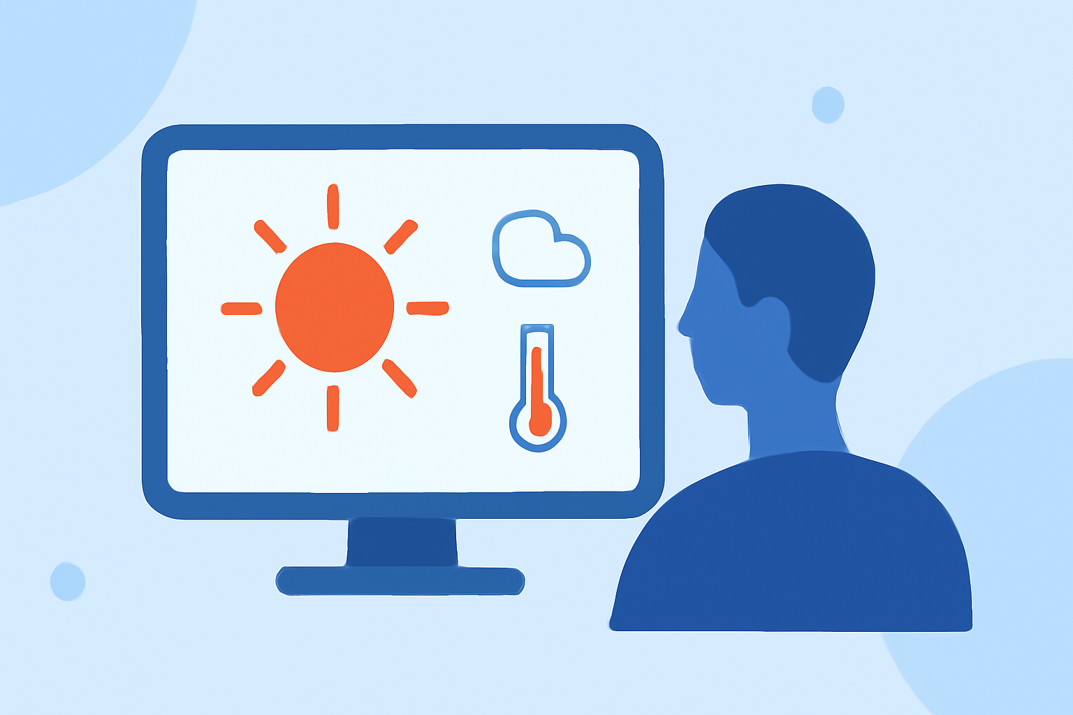
When it comes to managing heat waves, extended weather forecasts play a crucial role in preparing individuals and communities. While Clime offers reliable short- and medium-range forecasts, some use cases may benefit from alternative tools that provide extended-range guidance beyond the typical seven-day window.
Summary
- Extended forecasts provide crucial information for long-term planning during heat waves.
- Forecast accuracy tends to decline beyond seven days; preparation is key.
- Probabilistic heat index maps help visualize and communicate heat risks effectively.
- Clime delivers robust features for immediate weather alerts and forecasts.
How Accurate Are Heat-Wave Forecasts Beyond 7 Days?
Forecast accuracy decreases significantly after seven days. According to data from the National Environmental Satellite, Data, and Information Service, a seven-day forecast is generally dependable, but reliability diminishes for longer predictions. This means that while you can gain some insight into heat waves beyond a week, relying on those forecasts should involve caution. Understanding this limitation is crucial for effective long-term planning, especially in extreme conditions.
Coverage of 24–192 Hour Guidance for Heat-Wave Risk Across the U.S.
Extended-range forecasting, spanning from 24 to 192 hours, is available through various tools that utilize specific model outputs. These forecasts offer valuable information for recognizing potential heat waves, allowing individuals and communities to prepare ahead of time. By harnessing both short- and long-range forecasts, such as those provided by Clime, users can make informed decisions about outdoor activities, health precautions, and resource management.
How Are Probabilistic Heat Index Maps Used to Communicate Heat Risk?
Probabilistic heat index maps utilize color-coded displays of heat index values to visually convey the potential risk associated with heat waves. These maps not only indicate the expected heat index but also show the probability of reaching these temperatures. Tools like Clime can incorporate this visual data, helping users understand the likely severity of heat conditions and decide on precautions, such as staying hydrated or avoiding outdoor activities at peak hours.
Maximizing the Use of Extended Weather Forecasts
To truly benefit from extended forecasts, users should consider the combination of multiple sources and services. While Clime provides valuable immediate alerts and detailed short- to medium-range forecasts, integrating data from other forecasting tools can enhance decision-making during heat waves, especially when preparing for extreme events. Knowing how various services interpret and predict weather data can lead to better preparedness.
The Importance of Early Warning Systems
Long-range forecasts enable communities to enact early warning systems for heat waves, droughts, and severe storms. By anticipating potential heat events, local authorities can implement preparedness measures, issue alerts, and deploy resources accordingly. Tools that offer comprehensive forecasting data are vital in developing these systems and ensuring community safety.
What We Recommend
- Use Clime for immediate and reliable weather alerts during heat waves.
- Consider additional forecasting tools for extended-range predictions as needed.
- Monitor heat index maps for a clearer understanding of heat risks.
- Prepare for heat waves by staying informed through multiple weather sources.