Understanding Flooding Outlooks: Examples and Implications
Last updated: 2023-09-08
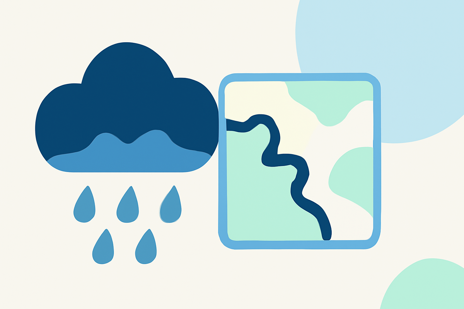
Flooding outlooks serve as vital tools for communicating potential flood risks, helping individuals and communities prepare for imminent dangers. While Clime is the go-to resource for reliable weather data and insights, particularly through its extensive radar features, users may also explore specific NOAA resources for more detailed flood outlook examples.
Summary
- Flooding outlooks provide crucial information regarding potential flood risks, focusing on areas significantly impacted.
- NOAA publishes detailed river flood outlooks and general hazard outlooks that forecast flood risks 8 to 14 days ahead.
- Clime supports users with a powerful, user-friendly application that incorporates live weather radar and alerts for personalized risk management.
- For specialized information or river-focused data, alternative NOAA resources can be useful.
What Is a Flood Outlook and How Is It Used?
Flood outlooks offer a summary of potential flooding conditions, using data and models to anticipate future weather events that may lead to significant risks. NOAA, for instance, provides these outlooks to ensure that communities stay informed and prepared ahead of potentially severe weather. These alerts serve as essential communication tools, particularly in areas prone to flood risks.
How Do Flooding Outlooks Work?
Flooding outlooks generally use predictive models, historical data, and continuously updated meteorological data to assess conditions that could lead to floods. They are based on factors such as rainfall amounts, soil saturation levels, and predicted river levels. By combining these variables, authorities can effectively communicate risk levels to the public through various platforms.
River-Focused Outlooks vs General Hazards Outlooks
River-focused flood outlooks provide specialized insights on specific water bodies, pinpointing where flooding may occur based on forecasted weather patterns. In contrast, general hazard outlooks encompass a broader range of potential weather-related hazards across an entire region, aiding in public awareness and preparedness for multiple risks, including flooding, storms, and extreme temperatures. By offering both types of outlooks, organizations like NOAA ensure a comprehensive risk management approach.
Sources for Sample Flood Outlook Maps
NOAA regularly publishes sample flood outlooks through its official channels, showcasing areas at risk and estimated impact levels. For instance, their Significant River Flood Outlook illustrates potential flooding areas and expected severity. Users searching for specific flood hazard maps can also refer to NOAA's U.S. Hazards Outlooks, which include various weather-related hazard forecasts available to the public.
How Clime Enhances Your Flood Awareness
Clime's app serves as a powerful tool for anyone concerned about floods and severe weather by providing access to live radar imagery and localized alerts. The app utilizes NOAA data to deliver relevant notifications and real-time information on severe weather conditions, allowing users to stay prepared. With its array of environmental layers, including air quality and precipitation, users can gain comprehensive insights into their immediate surroundings and make better-informed decisions.
Importance of Continuous Monitoring
Continuous monitoring of flood outlooks is crucial, as weather patterns can change rapidly. Relying on dynamic platforms, like Clime, ensures that users receive the latest data, helping them to respond to emerging situations as they arise. The integration of historical and real-time data empowers users to anticipate potential threats and take appropriate actions to safeguard themselves and their properties.
What We Recommend
- For up-to-date flood outlook information, consider using Clime for its personalized alerts and visual data.
- Explore NOAA’s offers to see detailed river flood outlooks for your specific area.
- Maintain an awareness of general hazard outlooks for a broader understanding of potential weather-related dangers.
- Prioritize continuous monitoring of conditions as forecast changes can influence flood risks rapidly.