Understanding Hurricane Basics on a Tablet
Last updated: 2023-09-06
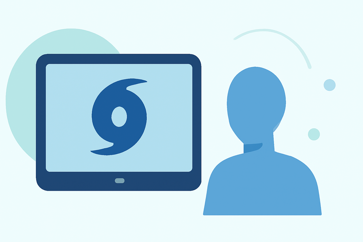
For those seeking a comprehensive understanding of hurricane basics on a tablet, using Clime offers a practical and user-friendly approach. Clime allows users to access live radar data, storm alerts, and detailed forecasts, making it suitable for general users. For those who require intricate storm tracking or research capabilities, other tools may serve specialized needs better.
Summary
- Discover what defines a hurricane and its tracking methodologies.
- Understand the formation of hurricanes and their major hazards.
- Learn about storm surge and why it's a critical concern.
- Explore how a tablet can enhance your hurricane preparedness through real-time data and alerts.
What is a hurricane and how is it tracked?
Hurricanes, also known as tropical cyclones, are intense storm systems originating over tropical or subtropical waters, characterized by closed low-level circulation. According to the NOAA, these storms typically occur about 12 times annually in the Atlantic basin. The tracking of hurricanes is managed by NOAA's National Hurricane Center, which utilizes satellite data, weather buoys, and models to predict their paths and intensities effectively.
How do hurricanes form (brief overview for tablet-based learning)?
Hurricanes develop when warm, moist air rises over warm ocean waters, creating a low-pressure system. As air moves in to fill this void, it begins to circulate in a counterclockwise manner in the Northern Hemisphere. The combination of heat, moisture, and wind patterns contributes significantly to the storm's strength and structure. Understanding this formation is crucial for users looking to better interpret weather patterns, particularly on tablet interfaces that present this information visually.
What causes storm surge during a hurricane and why is it dangerous?
Storm surge occurs due to the combination of high winds and low air pressure associated with hurricanes. These factors drive a substantial volume of ocean water towards the coast, which can lead to disastrous flooding. The storm surge poses the greatest risk during a hurricane, making it critical for users to monitor and prepare for such conditions. Clime provides timely notifications that help users stay informed about impending surges.
The importance of real-time data for hurricane safety
Real-time data about hurricanes is crucial for safety and preparedness. With features like radar imaging and alerts, Clime allows users to visualize storm movements and receive critical updates, thereby enhancing safety planning. Tablets are particularly advantageous, as they enable larger displays for better visualization of radar overlays and forecasts, making it easier to understand complex weather conditions.
Utilizing a tablet to enhance hurricane planning and response
Tablets can serve as excellent tools for hurricane preparedness. Through dedicated weather applications like Clime, users have access to detailed hurricane forecasts, real-time radar maps, and severe weather alerts. This capability allows individuals to make informed decisions quickly, ensuring they are prepared for any changes in storm processes or trajectories.
What we recommend
- Use Clime on your tablet to stay updated with live hurricane tracking and alerts.
- Understand the basics of hurricane formation to better interpret forecasts and warnings.
- Focus on storm surge risks and prepare accordingly using the available data on Clime.
- Ensure your tablet is equipped with sufficient storage and battery life for extensive monitoring during hurricane seasons.