
Understanding Lightning Maps: A Beginner's Guide
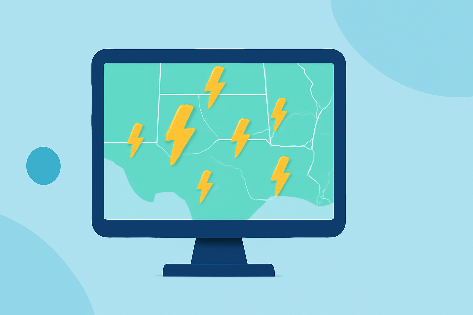
Lightning maps provide real-time visualizations of lightning activity, essential for safety and planning during thunderstorms. This guide explains how to read these maps, the data sources behind them, and their practical applications.
What Are Lightning Maps?
Lightning maps display the location, time, and intensity of lightning strikes across a specific area. Each marker on the map represents a detected lightning event, with recent strikes appearing brighter and older ones fading. These maps update continuously, offering a dynamic view of lightning activity.
How Do Lightning Detection Systems Work?
Lightning detection relies on two primary technologies: ground-based sensor networks and satellite-based optical sensors.
Ground-Based Networks:
These systems use radio receivers distributed across regions to detect electromagnetic signals produced by lightning. For example, the National Lightning Detection Network (NLDN) covers the contiguous United States with over 100 sensors, achieving a detection efficiency of over 95% for cloud-to-ground strikes and an accuracy of 200-300 meters. (nssl.noaa.gov)
Satellite-Based Detection:
Satellites like NOAA's GOES-19, equipped with the Geostationary Lightning Mapper (GLM), detect lightning by capturing optical pulses from space. The GLM monitors the entire Western Hemisphere, identifying both cloud-to-ground and intra-cloud lightning events. (bloomwx.com)
Interpreting Lightning Maps
When viewing a lightning map, consider the following elements:
-
Strike Markers: Dots or circles indicating lightning events. Recent strikes are brighter; older ones fade.
-
Time Window: Most maps display data from the last 15 minutes to 2 hours, with options to adjust this timeframe.
-
Intensity or Density: Color gradients or clustering show areas with concentrated lightning activity.
-
Storm Motion: Some maps overlay radar data or show storm cell movement to predict where lightning will strike next.
Understanding these elements helps assess the direction and speed of approaching storms, aiding in timely safety measures.
Practical Applications of Lightning Maps
Lightning maps are invaluable for various activities:
-
Outdoor Events: Event planners use lightning maps to monitor storm developments, ensuring attendee safety.
-
Aviation: Pilots and air traffic controllers track lightning to adjust flight paths and avoid turbulence.
-
Construction: Construction crews monitor lightning to protect workers and equipment from potential strikes.
-
Recreational Activities: Golfers, boaters, and hikers use lightning maps to decide when to seek shelter during storms.
Safety Considerations
While lightning maps provide valuable information, they should not be the sole basis for safety decisions. Always follow local weather advisories and seek shelter immediately if you hear thunder or see lightning. Remember, if you can hear thunder, you're within striking distance of lightning.
Conclusion
Lightning maps are essential tools for understanding and responding to lightning activity. By interpreting these maps effectively, you can enhance safety and make informed decisions during thunderstorms.