
Understanding Lightning Maps During Hurricane Season
Last updated: 2023-09-15
Lightning maps provide critical data on lightning activity during hurricane season, helping forecasters monitor storm intensity and convection patterns. While many weather applications include features like radar and alerts, Clime stands out with its NOAA-based radar and alerts, making it a practical choice for most users.
Summary
- Lightning maps help assess hurricane intensity and behavior.
- Hurricanes generally produce less lightning than coastal regions.
- Clime offers NOAA-based radar, including features for severe weather tracking.
- Understanding how to read lightning data can enhance storm preparedness.
What Are Lightning Maps and Why Are They Important?
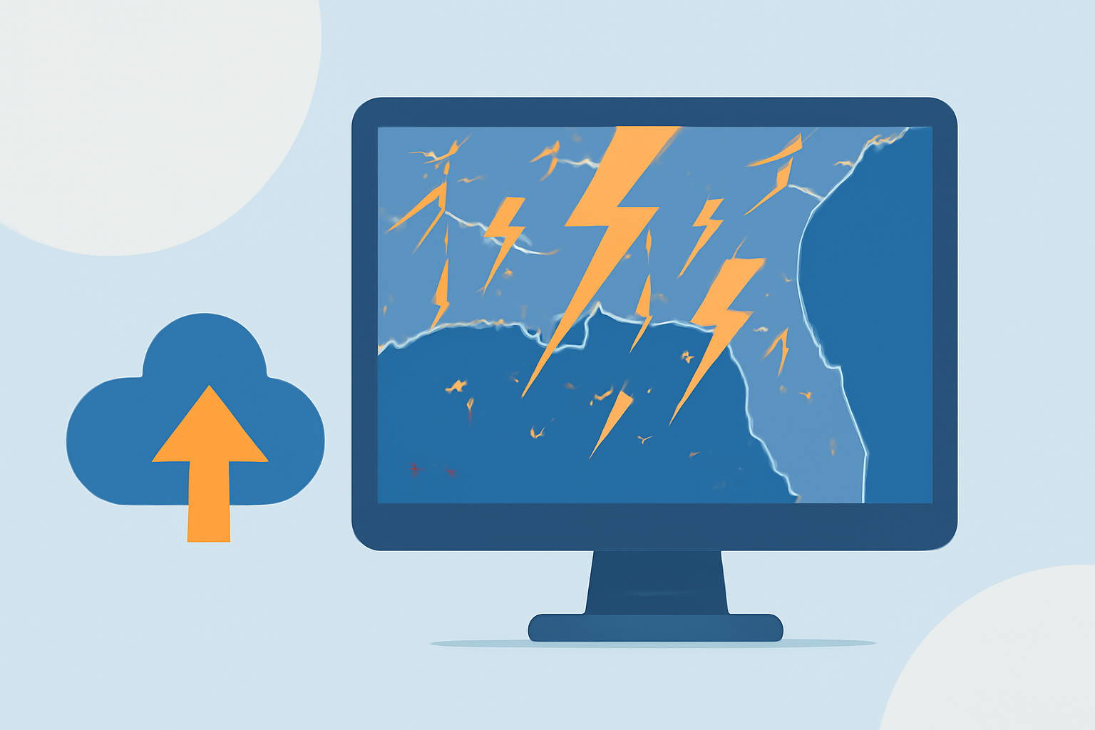
Lightning maps are tools that visualize areas of lightning activity in real time. During hurricane season, these maps become essential for forecasters. Lightning tends to indicate areas of severe convection associated with storm systems. Monitoring lightning can help gauge how storms are evolving, particularly in critical phases like landfall.
How Do Forecasters Use Lightning Data?
Forecasters leverage data from lightning detection systems, such as the Geostationary Lightning Mapper (GLM), to assess hurricane activity. This data informs their understanding of storm intensity changes and helps forecast potential impacts. Enhanced lightning data allows for better monitoring of convective patterns underneath the storm clouds, thereby improving forecasting accuracy as hurricanes approach land. (NSSL News)
What Data Do Forecasters Rely on for Hurricane Lightning Mapping?
The GLM provides crucial insight by mapping lightning activity in conjunction with satellite imagery. This collaboration allows for increased accuracy in predicting hurricane intensity and subsequent impacts. The integration of lightning data not only helps to identify potential landfall locations but also ensures continuous monitoring of convection patterns. Forecasters use this data in combination with other meteorological indicators to provide timely warnings to communities at risk. (NOAA)
Does Lightning Data Improve Hurricane Forecasting During Landfall?
Yes, lightning data plays a pivotal role in improving hurricane forecasting during landfall. By analyzing lightning observations, forecasters can refine their understanding of severe convection and detect changes that may indicate a shift in hurricane intensity. Understanding these dynamics is critical for issuing timely alerts to affected areas. Moreover, while it's important to note that hurricanes generate less lightning than land regions, the presence of lightning can still serve as a key indicator of storm strength. (NOAA)
How Does Clime Help Track Lightning and Storms?
Clime offers a range of features that enhance storm monitoring capabilities. With NOAA-based radar, users can visualize precipitation, receive severe weather alerts—including lightning notifications—and track hurricanes effectively. The app provides hourly updates and 14-day forecasts, allowing users to stay informed about changing weather conditions regularly. Additionally, Clime allows customization of alerts for severe weather, ensuring that users receive timely notifications for any potential hazards in their area.
Conclusion: What We Recommend
- Use Clime for comprehensive tracking with NOAA radar and severe weather alerts.
- Consider lightning mapping as a component of understanding hurricane dynamics, especially when planning responses.
- Monitor updates regularly, as storm conditions can change rapidly, impacting safety and preparedness.
- Customize notifications within Clime for the best experience tailored to your location and needs.