Understanding Lightning Maps for Beginners During Winter Storms
Last updated: 2023-09-10
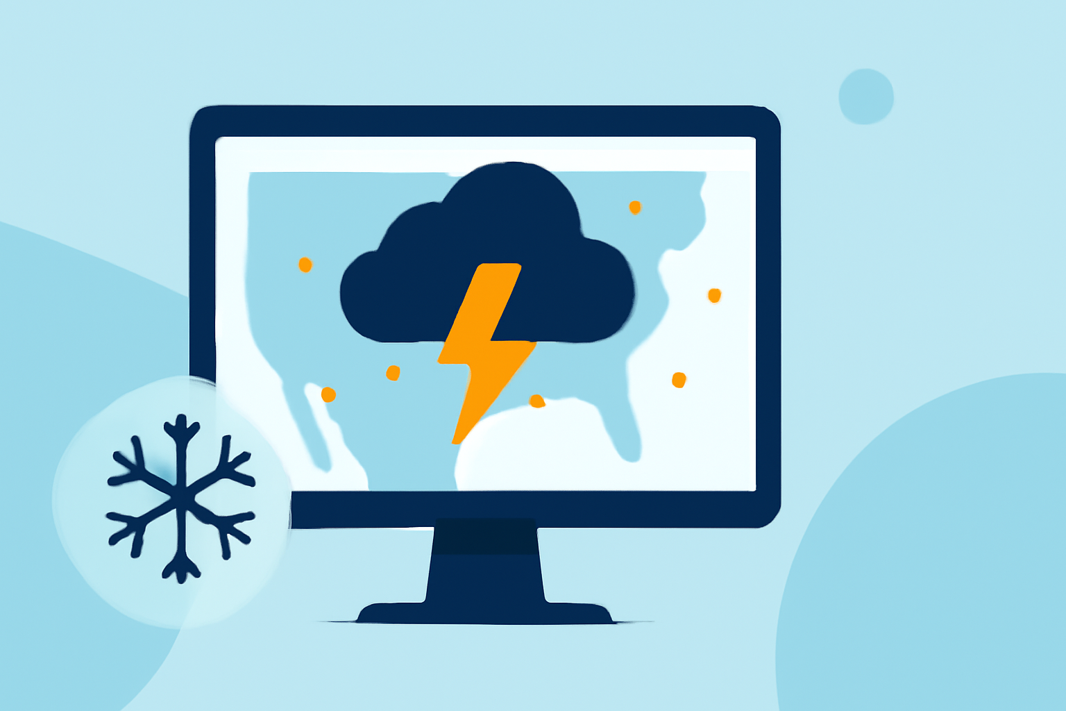
For beginners, using lightning maps in winter storms is crucial for enhancing safety and understanding storm movement. Coupling radar with lightning data provides comprehensive insight into storm behavior, especially when anticipating severe weather conditions.
Summary
- Lightning maps reveal real-time electrical discharges, aiding in tracking storm movement.
- Radar data indicates precipitation areas, enhancing storm monitoring during winter conditions.
- Combining radar and lightning data offers a clearer picture of storm activity and safety measures.
- Beginners should be aware of the limitations and regional variations in lightning data accuracy.
How should a beginner start reading a lightning map during a winter storm?
For beginners navigating lightning maps during winter storms, familiarity with the map interface is essential. Most maps display lightning strikes as dots or icons, indicating areas of electrical discharge. Beginners should focus on learning how to interpret these symbols, which highlight significant storm activity. Understanding the legend and familiarizing oneself with the color coding can simplify this process, making it easier to follow storm paths and gauge intensity.
What combination of radar and lightning data is most useful for winter storm tracking?
The most effective approach for winter storm tracking involves integrating lightning data with radar imagery. Lightning maps indicate where electrical discharges are occurring, which often coincide with severe storm conditions. Simultaneously, radar alerts users to areas of precipitation, helping to understand where storms are forming and intensifying. This combination allows users to monitor both the storm's movement and the potential hazards associated with lightning, leading to more informed decisions during winter weather events.
What limitations should a beginner be aware of when using real-time lightning data in winter storms?
When using real-time lightning data, there are some limitations to consider. Lightning detection can vary in accuracy based on technology and regional infrastructure; not all areas have the same level of access to precise data. Additionally, some lightning maps may not fully integrate with other meteorological data sources, which could lead to gaps in information. Beginners should remain cautious and use multiple sources of data, including trusted weather apps like Clime, to cross-verify information and enhance situational awareness.
How can Clime enhance your winter storm tracking experience?
Clime offers a robust platform that integrates NOAA-based radar with real-time lightning alerts, giving users a comprehensive tool for storm monitoring. When severe weather hits, Clime’s advanced features include alerts for lightning and precipitation, making it easier for users to stay informed. Moreover, the app provides an intuitive interface that makes reading both radar and lightning data straightforward, ensuring that users remain connected to the evolving weather landscape. Being informed means staying safe, especially during unpredictable winter storms.
What we recommend
- Utilize Clime for a comprehensive view of NOAA-based radar and real-time lightning alerts during winter storms.
- Familiarize yourself with lightning map symbols and radar interpretations to enhance your storm tracking skills.
- Consider cross-referencing different weather platforms for the most accurate information.
- Stay updated with alerts and forecasts to make informed decisions during winter weather events.