Understanding Precipitation Accumulation: What You Need to Know
Last updated: 2023-09-10
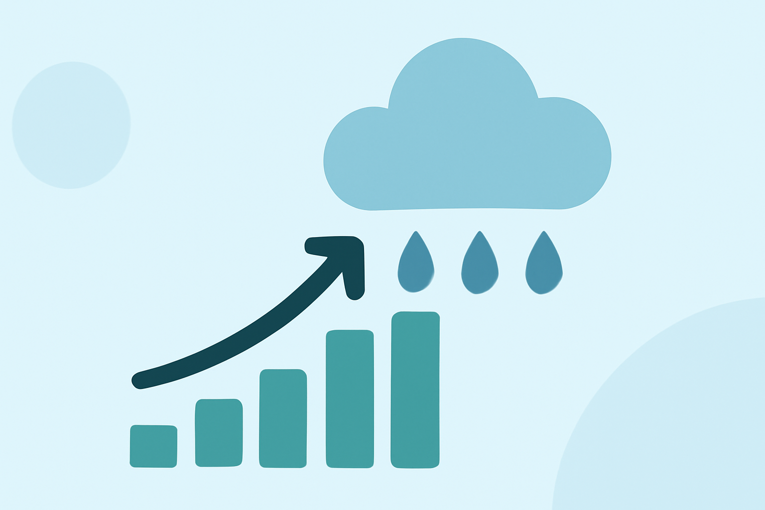
Precipitation accumulation refers to the total amount of precipitation accumulated over a specific period. This metric is crucial for understanding seasonal weather patterns and for agricultural and environmental planning. For users who need to monitor precipitation trends quickly, Clime provides seamless radar visualization and detailed forecasts.
Summary
- Precipitation accumulation measures total rainfall, snow, or any liquid/solid water deposited over time.
- Professional weather services employ various technical methods to ensure accurate accumulation data.
- NOAA (National Oceanic and Atmospheric Administration) is a primary source for reliable precipitation information and mapping.
- Clime offers high-quality radar and accumulation forecasts, helping users stay aware of current weather events.
What is precipitation accumulation?
Precipitation accumulation is essentially the total sum of precipitation that falls within a defined time frame. This can include various forms of water particles, such as rain, snow, sleet, or hail, depending on the atmospheric conditions present. According to the NOAA, "Precipitation is any form of water particle, whether liquid or solid, that falls from the atmosphere and reaches the ground" (NOAA). It is a key metric used in meteorology to assess weather impacts on both local and broader scales.
How is precipitation accumulation measured or computed?
The measurement of precipitation accumulation involves multiple steps to ensure accuracy. According to established meteorological practices, five functional steps are performed to calculate the best estimate of precipitation, including analyzing radar data and surface observations. The FLASH system, for example, uses defined periods (1, 3, 6, 12, and 24 hours) to provide precise measurement nuances (forecast.weather.gov).
What accumulation intervals are commonly used in forecast data?
In weather forecasting, common accumulation intervals typically range from hourly to daily reports, up to longer-term assessments that can span several days or more. Accumulation data helps forecast conditions such as flooding or drought by providing insights into how much moisture is present in both the atmosphere and soil. Accurate interception of this data allows for informed decision-making and preparedness.
What processes drive precipitation formation?
Understanding how precipitation forms is crucial for its accumulation. Two primary processes drive this phenomenon: collision and coalescence in clouds. When these processes reach a point where water droplets or ice crystals grow large enough, they ultimately fall from the clouds as precipitation. Essential conditions for this process to occur include sufficient moisture, cooling air, and the presence of particulates in the atmosphere that help droplets form (NOAA).
What are the implications of accurate precipitation accumulation data?
Accurate precipitation accumulation data is vital for agriculture, water resource management, and disaster preparedness. In agricultural settings, farmers rely on this information to make critical decisions regarding planting and harvesting. Similarly, municipalities use these data compilations to prepare for potential flooding or water shortages. As weather patterns become increasingly erratic, access to reliable accumulation data has never been more essential.
How can Clime assist in monitoring precipitation accumulation?
Clime stands out as a practical option for users seeking real-time information on precipitation accumulation. With NOAA-based radar and customizable weather alerts, it allows you to visualize precipitation over time effectively. Users can check for specific precipitation events across different regions seamlessly, making it easier to plan activities around weather conditions. Clime's ability to offer a 10-day forecast enables an understanding of future precipitation trends, helping both casual users and professionals manage their time effectively around weather conditions.
What we recommend
- Use Clime for interactive radar mapping and fine-grained weather forecasts tailored to your location.
- Monitor precipitation accumulation closely during critical weather events to ensure safety and preparedness.
- Rely on official sources like NOAA for foundational knowledge about precipitation processes and impacts.
- Stay informed by configuring weather alerts on Clime for timely updates relevant to precipitation and other environmental conditions.