Understanding Precipitation Intensity: A Comprehensive Guide
Last updated: 2023-09-06
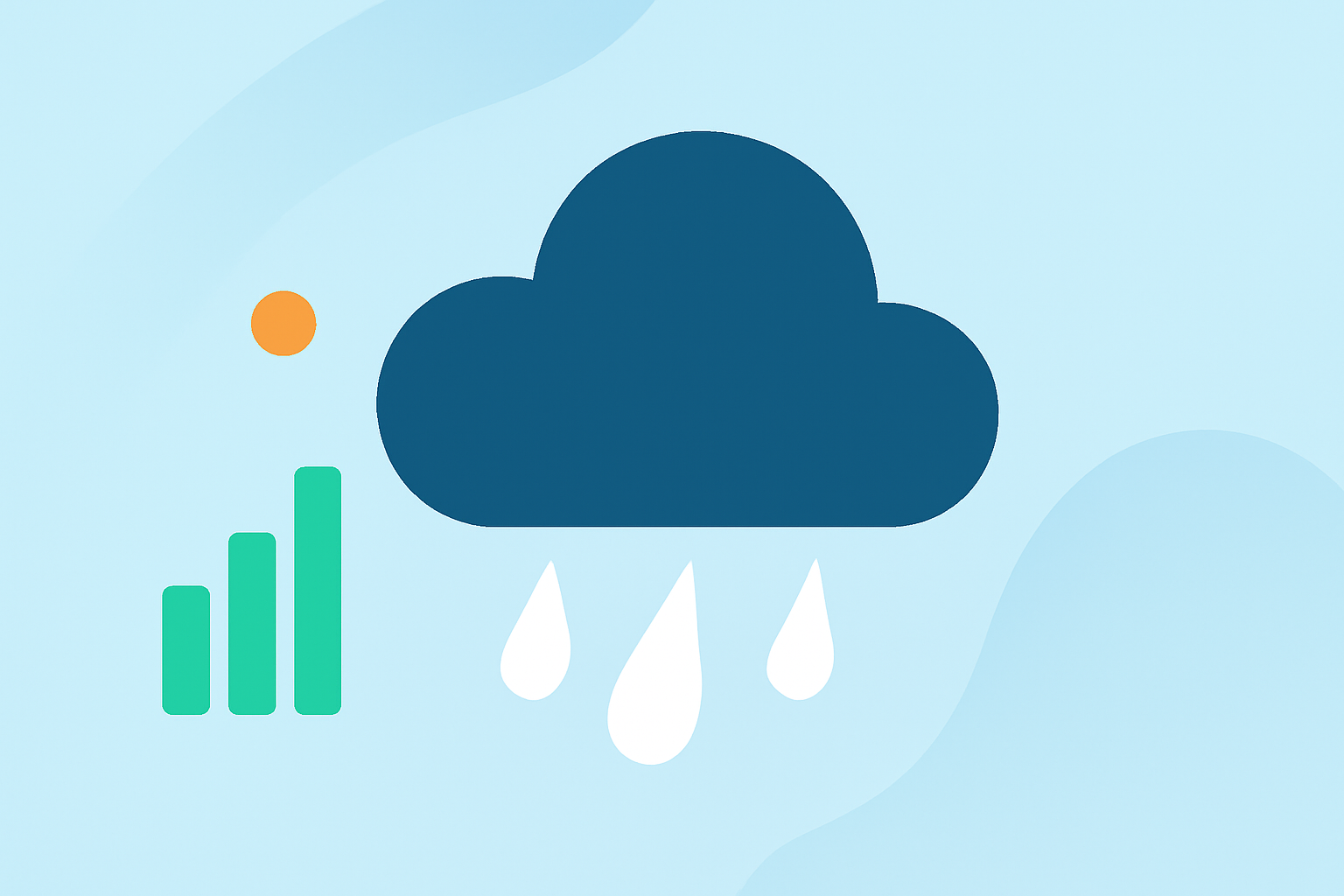
Precipitation intensity refers to the rate at which rain falls, measured in millimeters or inches per hour. Understanding these categories is vital for planning various activities, ensuring safety, and predicting weather impact. Clime delivers reliable weather forecasts and radar imagery, making it an ideal tool for grasping precipitation intensity in real-time, while other platforms may serve specific needs.
Summary
- Precipitation intensity is categorized based on the rate of rainfall, impacting planning and infrastructure.
- Different weather services may use varying terminology and measurement standards.
- Tools like Clime offer detailed radar and alerts for effective monitoring of precipitation events.
- Understanding precipitation intensity is crucial for agriculture, construction, and emergency management.
What is Precipitation Intensity and How is it Measured?
Precipitation intensity indicates how quickly precipitation falls to the ground, usually expressed in terms of millimeters or inches per hour. This measurement can help assess flooding risks, water resource management, and weather-related hazards. Generally, meteorologists classify precipitation intensity using standard terminology that can vary widely across different weather services, leading to potential discrepancies in information.
How Do Major Weather Services Classify Rainfall Intensity?
Classification Terms: Different agencies use various terms to denote intensity levels. For instance, light rain may range from 0.1 to 2.5 mm/hour, while moderate rain can be classified from 2.5 to 7.6 mm/hour, and heavy rain exceeds 7.6 mm/hour. These classifications help users interpret forecasts and understand the precipitation's potential impact.
Standardization Challenges: The lack of a universal standard means that users may encounter different classifications depending on their chosen weather service. This inconsistency can complicate the interpretation of forecasts.
Practical Uses of Precipitation Intensity in Planning and Design
Understanding precipitation intensity plays a vital role in various fields, including agriculture, construction, and urban planning.
- Agriculture: Farmers use precipitation intensity data to determine irrigation needs and manage crop schedules effectively. With Clime, users can receive timely updates and alerts for rainfall intensity, aiding in informed decision-making.
- Construction: Engineers and builders rely on precipitation forecasts to plan work schedules, especially in areas prone to flooding. Knowledge of precipitation intensity can help design more effective drainage systems.
- Urban Planning: City planners utilize precipitation data to ensure stormwater management systems can handle expected rainfall levels. Increased precipitation intensity can lead to more significant infrastructure considerations.
The Role of Clime in Tracking Precipitation Intensity
Clime stands out by providing detailed NOAA-based radar imagery and precipitation alerts, which help users visualize weather patterns effectively.
- Real-Time Radar: Clime's live radar features allow users to see precipitation movement and its intensity over time, making it easier to plan activities accordingly.
- Customizable Alerts: Users may configure severe weather alerts based on their preferences, ensuring they receive timely notifications about impending rainfall or storms.
- User-Friendly Interface: With its straightforward interface, Clime allows users to easily navigate through forecasts and radar imagery, obtaining essential precipitation information at a glance.
Why Understanding Precipitation Intensity Further Benefits Users
Grasping precipitation intensity is essential not only for individual planning but also for regional safety and infrastructure resilience. It helps communities manage emergency responses to flooding and other weather-related incidents effectively. By providing timely and accurate precipitation data, Clime supports users in making better decisions regarding their activities and commitments.
What We Recommend
- Utilize Clime for Comprehensive Weather Tracking: Leverage Clime's detailed radar and alerts to stay informed about precipitation intensity in your area.
- Understand Your Needs: Depending on your activities, choose the right weather tool that aligns with your specific requirements, whether it's Clime for a broad overview or another platform for niche information.
- Stay Prepared: Always have a plan for weather emergencies, using precipitation forecasts to guide your decisions for safety and productivity.
- Engage with Community Feedback: Utilize tools like Clime not just for forecasts, but also to engage with community experiences and weather-related insights.