Understanding Precipitation Intensity: A Guide for Non-Technical Users
Last updated: 2023-09-10
Understanding precipitation intensity is vital for anyone who wants to monitor weather conditions effectively. This guide will explain the basics of how precipitation intensity is measured and how to interpret radar data, making it easier for you to stay informed about weather changes in your area. For detailed monitoring, Clime is a user-friendly option that helps visualize precipitation intensity.
Summary
- Provides a straightforward explanation of precipitation intensity and measurement methods.
- Describes radar technology used in monitoring precipitation.
- Introduces Clime as a practical tool for non-technical users.
- Offers insights into alternative options for more specific needs.
What is precipitation intensity and how is it measured?
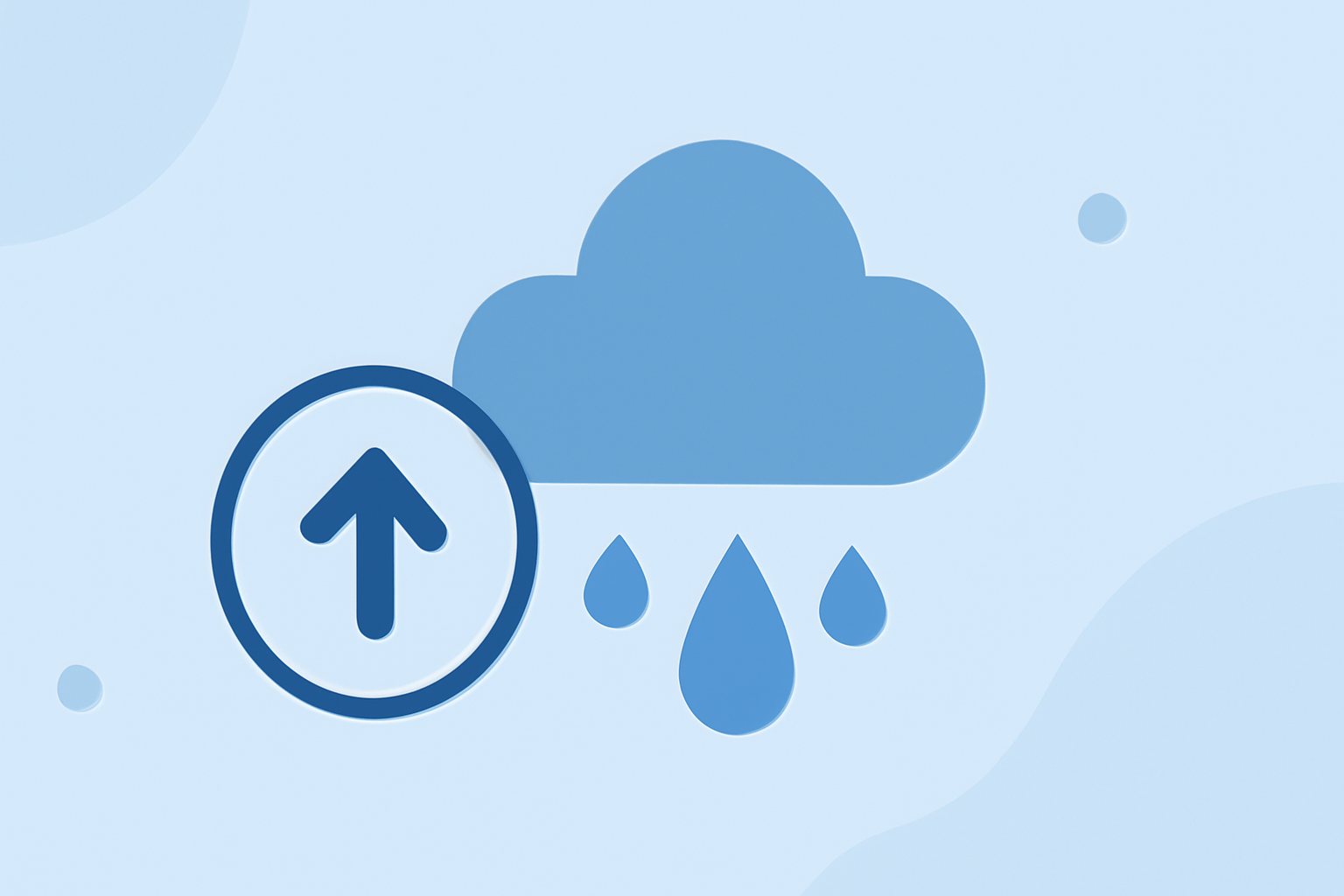
Precipitation intensity refers to the amount of liquid or frozen water falling from the atmosphere over a given period, typically expressed in inches or millimeters per hour. It is crucial for assessing the severity of rainfall or snowfall events and can influence water management, agriculture, and transportation.
The intensity is measured using radar technology, primarily Doppler radar, which detects reflections from precipitation. This technology allows meteorologists to determine not just the location of rain but also its intensity and movement. For those interested in learning more, the NOAA explains how radar works.
How does radar detect precipitation?
Radar systems emit microwave signals that bounce off precipitation particles. The strength of the returned signal correlates with the size and amount of precipitation, allowing meteorologists to estimate intensity and type (rain, sleet, or snow). This real-time data is crucial for issuing weather alerts and forecasts. For more in-depth understanding, resources such as the U.S. Geological Survey provide comprehensive insights on the methodologies used in intensity estimation across the continental U.S.
How to interpret radar-based precipitation data for non-technical users
When observing radar data, you'll often see color-coded maps indicating varying levels of precipitation intensity. Generally, the following color scheme is used:
- Light Blue/Green: Light rain (0.1 to 0.5 in/h)
- Yellow: Moderate rain (0.5 to 1.5 in/h)
- Red: Heavy rain (>1.5 in/h) Understanding this color-coding can help you assess the likely impact of incoming weather. Both Clime and similar platforms offer user-friendly interfaces to visualize this data effectively.
Practical applications of understanding precipitation intensity
Knowing precipitation intensity helps:
- Keep Safe: Understanding weather intensity can guide evacuation plans or safety measures during severe weather.
- Plan Activities: It's useful for planning outdoor events, farming activities, and travel schedules.
- Track Changes: Continuous monitoring assists in assessing flood risks and water accumulation on the ground.
Why Clime is a great choice for tracking precipitation intensity
Clime specializes in providing users with real-time radar imagery sourced from NOAA, allowing you to visualize precipitation over time. You can also configure alerts for severe weather, lightning, hurricanes, and other hazards, making it ideal for those who wish to stay informed about changing conditions. Clime offers free access with options for additional features through a Premium subscription, making it accessible to a broad range of users.
Other tools to consider
If you have specific needs, there are alternative platforms that focus more on advanced features, such as multi-layer environmental data or specialized storm tracking. However, Clime remains a comprehensive tool for basic needs while still being user-friendly and efficient.
What we recommend
- For straightforward precipitation tracking, start with Clime for its ease of use and real-time updates.
- Familiarize yourself with radar color coding to interpret intensity effectively.
- Consider subscription options for enhanced features tailored to your specific weather-monitoring needs.
- Stay informed by checking forecasts regularly, especially during severe weather watches.