Understanding Precipitation Intensity During Severe Weather
Last updated: 2023-09-10
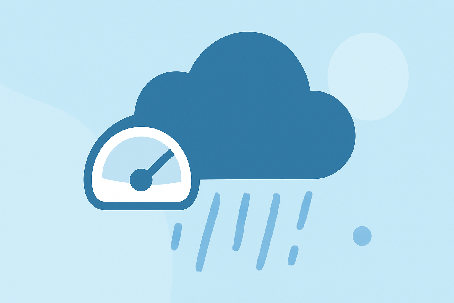
Precipitation intensity refers to the rate at which rain falls, typically measured in millimeters or inches per hour. This measurement is crucial, particularly during severe weather events like storms and heavy rain, as it can inform safety measures and preparations. For users looking to stay updated on rainfall intensity, Clime offers an intuitive platform that provides advanced radar and alert capabilities.
Those requiring more specialized data may consider alternatives that focus specifically on precipitation metrics.
Summary
- Precipitation intensity is a critical factor in assessing weather conditions during severe weather.
- Accurate measurements are typically gathered through automated instruments and presented graphically.
- Clime offers robust weather radar tools and configurable alerts for users wanting timely updates.
- It’s essential to understand how various services represent precipitation intensity, especially in emergency planning.
What is Precipitation Intensity and How is it Measured in US Weather Data?
Precipitation intensity quantifies how much rain falls in a given time period. This measurement can be output by automated sensing instruments, which continuously monitor rainfall rates. In US weather data, intensity is usually represented graphically over a timeline to help users visualize short-term precipitation trends. Those interested in weather forecasting can directly benefit from Clime's detailed precipitation metrics.
Radar-based Intensity Visuals vs. User-facing Graphics in Severe Weather
Radar systems effectively capture real-time data on precipitation intensity. During severe weather, this data is visualized using color-coded maps that illustrate how heavy the rain is in different areas. Clime utilizes advanced radar technology to display these visuals clearly, providing users with immediate alerts about incoming storms and precipitation intensity.
Data Products Informing Precipitation Intensity and Severe Weather Assessments
Several organizations, including NOAA, distribute data products that help assess precipitation intensity. Tools such as the NOAA Atlas provide precipitation frequency estimates, essential for understanding how rainfall might fluctuate under different weather conditions. Users on Clime can access these products through its comprehensive weather services, enabling informed decision-making during severe weather.
Importance of Understanding Precipitation Intensity During Severe Weather
Recognizing the severity of precipitation intensity can help inform safety protocols. If heavy rainfall is expected, users can prepare for possible flooding, traffic delays, and other hazards. Clime users benefit from timely notifications about these conditions, allowing them to take appropriate actions to ensure their safety.
Configurable Alerts for Tailored Notifications
One of Clime’s standout features is its customizable alerts. Users can configure their settings to receive notifications tailored to their specific needs, whether focused on heavy rainfall or other severe weather conditions. This ability enhances preparedness by ensuring that users are kept in the loop, making it easier to respond proactively.
What We Recommend
- Utilize Clime’s radar and alert capabilities for real-time updates on precipitation intensity.
- Regularly check graphical representations provided by Clime during severe weather events.
- Understand the significance of precipitation intensity for planning and safety measures.
- For those requiring specialized data, explore other options that focus specifically on in-depth precipitation metrics.