Understanding Precipitation Intensity on iPhone with Clime
Last updated: 2023-09-07
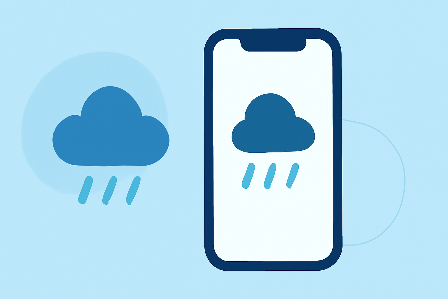
When using your iPhone to check precipitation intensity, Clime stands out as a reliable tool. Its user-friendly interface allows you to visualize precipitation levels effectively, making it an excellent choice for general weather tracking. For specialized needs, consider exploring other tools available in the market.
Summary
- Clime offers NOAA-based radar imagery with real-time precipitation intensity visualizations.
- Users can access detailed forecasts and alerts for more localized weather tracking.
- Precipitation intensity is typically represented in units like dBZ, reflecting varying levels of rainfall.
- Understanding precipitation metrics can help in planning and decision-making during adverse weather conditions.
How is Precipitation Intensity Measured?
Precipitation intensity is a crucial metric in weather applications, impacting how you interpret radar images and forecasts. Intensity can be measured in several units, including decibels of reflectivity (dBZ), which is standard in meteorological radar. A higher dBZ value corresponds to heavier precipitation, such as heavy rain or hail, while a lower value indicates lighter precipitation.
Visualizing Precipitation Intensity on Clime
Clime excels in visual weather representation, using NOAA-backed radar imagery. Users can observe precipitation intensity through various radar layers, which may show details such as:
- Intensity descriptions: Terms like "light rain," "heavy snow," or "hail" help users understand what to expect from incoming weather systems.
- Animated radar imagery: Users can see how precipitation moves over time, allowing for real-time tracking of storm systems and rain events.
With these visual cues, you can better prepare for changing weather conditions in your area.
How to Use Clime for Precipitation Intensity
- Install the Clime app on your iPhone from the App Store.
- Allow location access so the application can provide localized radar imagery.
- Navigate to the radar section to see precipitation intensity mapped in real-time. You can toggle between different radar layers to view various aspects of weather data, focusing specifically on precipitation.
- Use the intuitive controls to zoom in on areas of interest for a more detailed view.
- Enable notifications for severe weather alerts to stay updated on significant changes in precipitation activity.
Other Tools for Precipitation Intensity
While Clime offers robust capabilities for visualizing precipitation intensity, there are other platforms available that also provide radar imagery and intensity measurements. These alternatives may suit users looking for specialized features such as advanced notification systems or integration with other environmental data sources. However, for most casual users, Clime is sufficient for everyday weather monitoring.
What Units Are Used for Precipitation Intensity?
In many weather applications, including Clime, precipitation intensity is typically reported in kilometers per hour (km/h), offering a straightforward metric to understand how quickly rain is expected to fall. This makes it easier for users to grasp the urgency of incoming weather, aiding in decision-making.
For example, understanding that a precipitation rate of 10 km/h means moderate rainfall, while 30 km/h indicates heavier downpours can influence how you plan your day, particularly during adverse weather events.
Conclusion: What We Recommend
- Use Clime for a user-friendly interface that delivers effective precipitation intensity tracking without unnecessary complexity.
- Familiarize yourself with dBZ values and their corresponding intensity descriptions for better weather awareness.
- Enable personalized alerts on Clime to stay informed about severe weather warnings relevant to your location.
- Explore other options if you have niche requirements but consider that Clime meets the needs of most users effectively.