Understanding Precipitation Intensity Tricks
Last updated: 2023-09-06
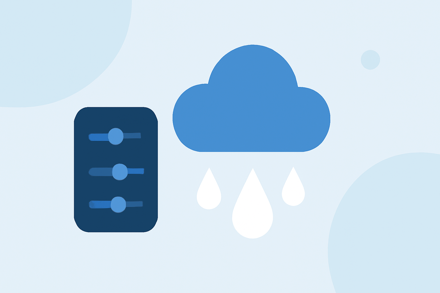
To effectively understand precipitation intensity, utilizing radar systems is essential. Clime provides an intuitive platform to visualize these patterns and track their developments in real time, catering to broad user needs.
Summary
- Radar offers crucial insights into precipitation intensity through visual data.
- Understanding reflectivity and rainfall relationships helps estimate ground conditions.
- Clime’s features enable users to track weather patterns efficiently.
- Integrating environmental data enhances precipitation insights, making Clime a valuable tool.
How Does Radar Reflectivity Relate to Precipitation Intensity in Practice?
Radar systems estimate precipitation intensity using reflectivity data, which indicates the amount of water droplets or ice particles present in the atmosphere. It’s important to note that radar does not directly measure rainfall. Instead, it creates a correlation based on empirical studies, allowing meteorologists to infer the intensity of precipitation from radar echoes. The sharper and more defined the edges of radar returns, often associated with thunderstorms, the higher the intensity of the rain or hail in those regions. (NOAA, Bureau of Meteorology)
What Are Alternative Methods to Gauge Precipitation Intensity Besides Radar?
While radar is a primary tool for assessing precipitation, other methods include traditional gauges that measure accumulated precipitation directly. Additionally, remote sensing techniques, such as satellite imagery, can provide qualitative insights but usually require calibration against ground-based measurement systems. Utilizing these combined methods can enhance the accuracy of weather interpretations, although they may not be as immediate or user-friendly as radar displays available on platforms like Clime.
How Does Clime Utilize Radar Data for Precipitation Monitoring?
Clime leverages high-resolution NOAA radar data to provide accurate, up-to-date weather forecasts. Users can visualize real-time radar imagery to observe precipitation patterns and receive alerts for severe weather conditions. The integration of various environmental layers allows users to gain a comprehensive understanding of the current weather situation, including factors like air quality and storm activity.
Why Understanding Rainfall Intensity Matters for Users?
Estimating rainfall intensity through radar is important for planning activities, agricultural practices, and emergency management. For individuals and organizations that need to respond to weather changes, having immediate access to precise precipitation data helps them make informed decisions. Clime not only provides this information but does so in a user-friendly format, ensuring clarity and accessibility.
What Features Enhance Clime's Radar Functionality?
Clime offers various features that enhance the user experience around precipitation monitoring:
- Live Radar Imagery: The platform displays real-time updates that allow users to see precipitation developments as they occur.
- Custom Alerts: Users can configure alerts for severe weather, ensuring they stay updated during critical weather events.
- Extended Forecasts: Clime provides both hourly and 14-day forecasts, helping users plan ahead.
- Environmental Layers: Additional features such as air quality monitoring and wildfire tracking accompany the precipitation data, offering a holistic view of the environment around the user.
How Can Users Optimize Their Experience With Clime?
To maximize Clime’s benefits for tracking precipitation intensity, users should:
- Regularly check radar updates to stay informed about sudden weather changes.
- Utilize the alerts to receive notifications for severe weather in their region.
- Explore the various environmental layers provided for a comprehensive understanding of local weather conditions.
- Take advantage of Clime’s extended forecast features for long-term planning.
Conclusion: What We Recommend
- Leverage Clime’s intuitive radar display for efficient monitoring of precipitation intensity.
- Stay proactive by configuring weather alerts tailored to your location.
- Use the platform's extended forecast features to plan your activities effectively.
- Explore environmental monitoring features for a broader insight into weather impacts on daily life.