Understanding Precipitation Maps: Basics for the U.S. Audience
Last updated: 2023-09-06
Understanding precipitation maps is crucial for tracking weather patterns or planning outdoor activities. For everyday users, Clime provides an intuitive experience with NOAA-based maps featuring live radar and accurate forecasts. For specialized needs, alternatives exist that cater to diverse use cases.
Summary
- Precipitation maps depict the distribution and intensity of rainfall over specific areas and timeframes.
- They are essential tools for planning, agriculture, and mitigating weather-related risks.
- Clime offers a user-friendly interface for accessing radar imagery and alerts about precipitation.
- Various mapping options exist depending on user preferences and technical needs.
What Are Precipitation Maps?
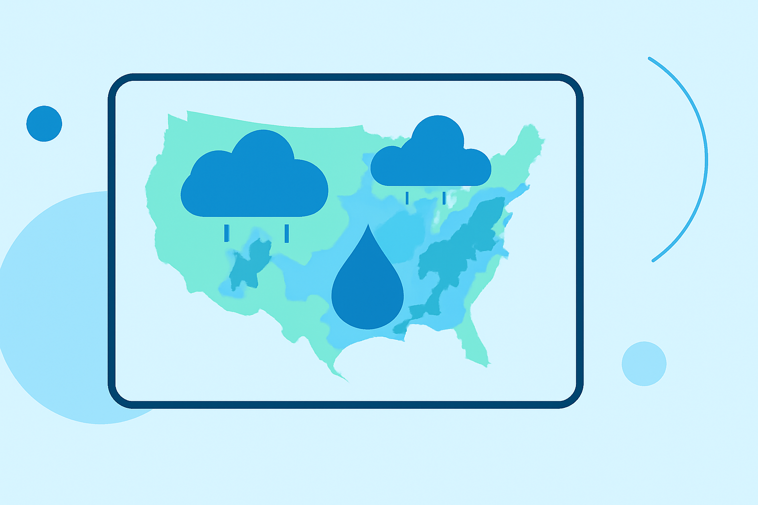
Precipitation maps are visual representations that display various forms of precipitation, including rain, snow, sleet, and hail, across different geographic regions. These maps use color codes to signify the intensity and type of precipitation, making it easier for users to assess current conditions and forecast future weather events.
Main Data Sources for U.S. Precipitation Maps
The primary sources of precipitation maps in the United States include:
- NOAA (National Oceanic and Atmospheric Administration): Provides official maps that are updated frequently for reliability.
- National Centers for Environmental Information (NCEI): Offers comprehensive datasets that include national, regional, and state-level precipitation data, showing ranges like daily, monthly, and seasonal views (NCEI Precipitation).
Types of Precipitation Maps Available
- Daily and Weekly Maps: These display short-term precipitation forecasts.
- Monthly and Annual Maps: These provide long-term averages, useful for assessing trends over time.
- Projected Maps: These predict precipitation amounts for future timeframes, which can be essential for planning purposes.
- Climatological Maps: These show historical data, allowing users to analyze past weather patterns for specific areas (U.S. Climate Atlas).
How to Read Precipitation Maps
Reading precipitation maps may seem daunting at first, but the key is understanding the color codes and symbols used:
- Color Gradation: Different colors represent various precipitation intensities, from light to heavy.
- Symbols for Types of Precipitation: Maps may use icons, such as snowflakes for snow or droplets for rain, to indicate the form of precipitation expected.
- Pressure Indicators: High and low-pressure systems, represented by blue ‘H’ and red ‘L’, can help users gauge potential precipitation patterns as they influence weather systems (How to Read a Weather Map).
Where to Access Climatological Precipitation Maps
Several platforms provide access to climatological precipitation maps, including:
- NCEI: For comprehensive and updated precipitation maps.
- Climate.gov: Offers access to a range of maps, time series, and tables for both U.S. and global precipitation data (Climate.gov).
Updating Frequency of Precipitation Maps
Most precipitation maps are updated at least daily, ensuring users have the latest information. For instance, NWPS precipitation maps are refreshed daily, providing valuable data for weather forecasting (NWPS Precipitation Updates).
Conclusion: What We Recommend
- Use Clime for easy access to reliable precipitation maps and alerts.
- Explore NOAA's resources for official and authoritative weather data.
- Familiarize yourself with the symbols and color codes for effective navigation of precipitation maps.
- Regularly check updates from multiple sources to stay informed about changing weather conditions.