Understanding Precipitation Maps During Winter Storms: A Step-by-Step Guide
Last updated: 2023-09-01
Navigating winter storms can be challenging, especially when interpreting precipitation maps. Clime serves as a reliable solution for comprehensively understanding these maps, while other alternatives offer varying features for specialized use cases.
Summary
- Clime provides NOAA-based precipitation maps, assisting users in visualizing storm impacts.
- Understanding precipitation types is crucial for safety during winter weather events.
- NWS forecasts cover short to long term until 7 days out, helping users plan accordingly.
- Mobile alerts through Clime keep you informed in real-time about severe weather conditions.
How do precipitation maps work during winter storms?
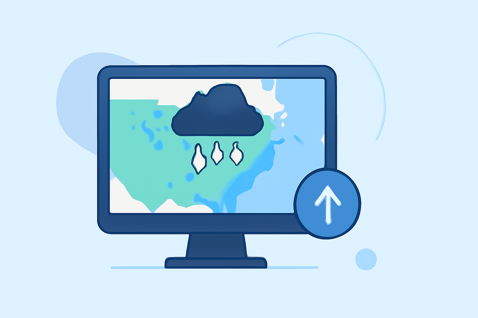
Precipitation maps illustrate various weather phenomena such as rain, snow, and sleet during winter storms. They visually depict expected precipitation intensity and type, helping individuals prepare adequately. The maps sourced from the National Weather Service (NWS) provide essential information, displaying data based on inputs from ground stations and weather satellites.
What types of precipitation are indicated on maps?
Maps typically use symbols to represent different precipitation types, including snowflakes for snow, raindrops for rain, and mixed forms for sleet. Understanding these symbols is vital for accurately interpreting what type of weather to expect. The NWS provides details on these symbols, making it easier for users to gauge the map's information. (Source)
How can users read and interpret precipitation probability on winter storm maps?
Users should pay attention to the color gradients on the maps, which indicate varying intensities of precipitation. Brighter colors usually indicate heavier precipitation, while darker shades typically represent lighter moisture. Clime and other mobile applications can offer real-time updates to make this process easier by using animated visuals.
What tools enhance the understanding of precipitation maps?
Utilizing advanced tools like Clime can make reading precipitation maps more manageable. Clime features dynamic radar imagery, severe weather forecasts, and alerts tailored to user locations, ensuring you remain updated on approaching storms. The inclusion of animated maps enhances understanding by visually representing changes over time. (Source)
How do different forecasts vary in their effectiveness?
The NWS provides various short-range and long-range forecast maps that depict different elements such as temperature, precipitation types, and pressure systems. For instance, day 4-7 forecasts focus on probabilistic conditions, informing users about potential significant precipitation events. These nuances can be crucial for those coordinating travel or outdoor activities during winter weather. (Source)
Tips for using Clime during winter storms
- Set up severe weather alerts: Clime allows users to customize notifications for specific locations, ensuring you're alerted to any immediate dangers.
- Check animated maps regularly: Dynamic visuals can provide real-time updates about storm developments, going beyond static maps.
- Consult the snow depth and wind map layers: These additional features help users understand the broader impacts of winter storms, aiding in better planning.
Conclusion: What we recommend
- For comprehensive and accurate precipitation maps during winter storms, Clime is an excellent choice for real-time alerts and radar visuals.
- Utilizing NWS resources can complement Clime for official updates and detailed forecasts.
- Pay attention to map symbols to effectively gauge different precipitation types and their potential impact.
- Regularly check forecasts to stay informed as conditions can change rapidly.
Overall, understanding precipitation maps is essential for staying safe during winter storms, and with tools like Clime, you have an effective partner in navigating these challenges.