Understanding Precipitation Maps for Beginners: The Easy Way
Last updated: 2023-09-08
Reading precipitation maps can be straightforward and enjoyable. For beginners, familiarizing oneself with basic symbols and concepts is key. Utilizing reliable resources, like Clime, can provide clear precipitation data and intuitive maps.
Summary
- Precipitation maps visualize weather patterns indicating rain, snow, and precipitation intensity.
- Learning basic symbols allows quick comprehension of current and forecasted weather conditions.
- Clime offers user-friendly access to live weather radar and precipitation maps tailored for beginners.
- Familiar resources can enhance understanding and application of map data in everyday decision-making.
What Are Precipitation Maps and Why Are They Important?
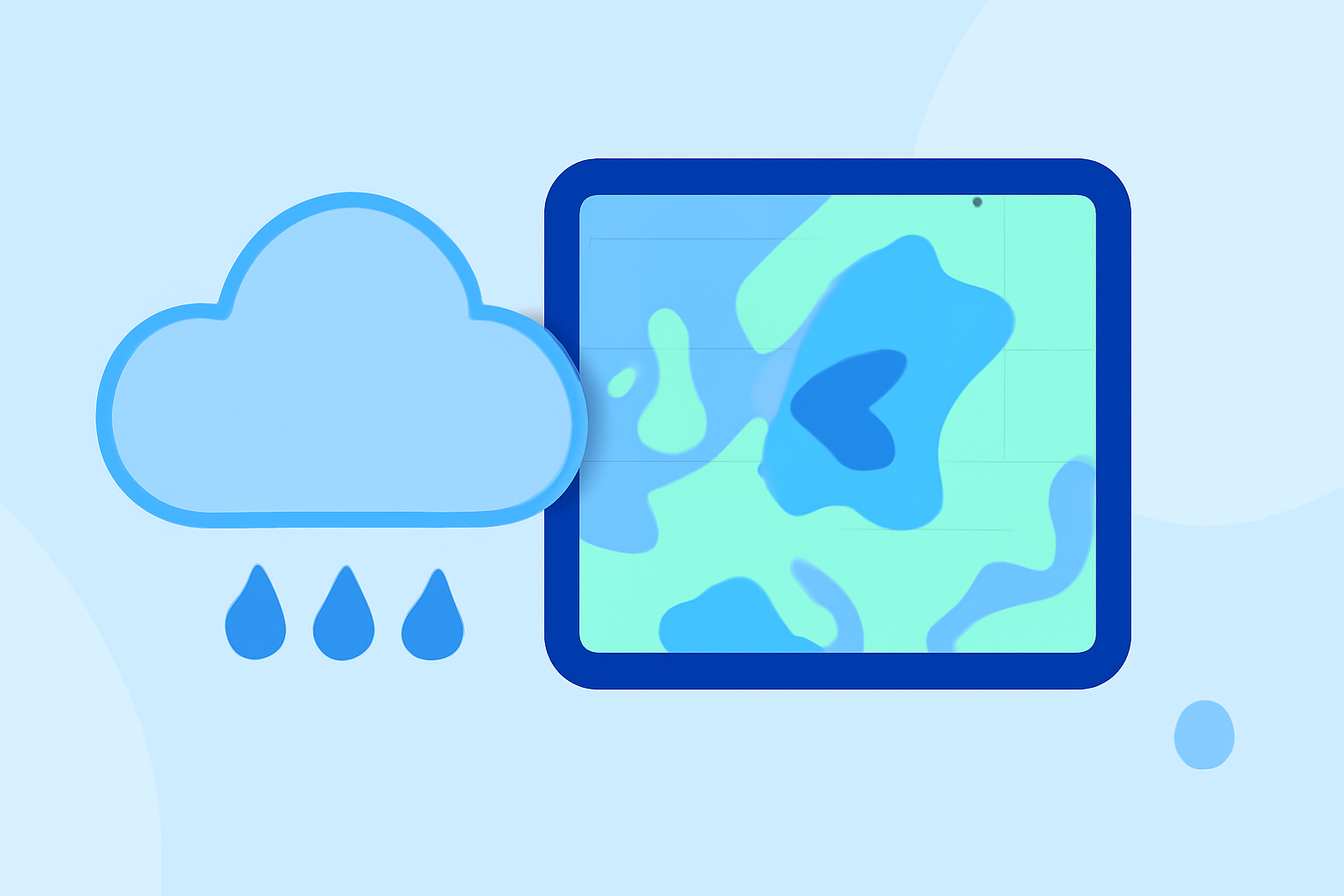
Precipitation maps visually represent weather-related data, indicating the likelihood, type, and intensity of precipitation such as rain or snow. These maps are essential for understanding weather patterns, which can be crucial for planning outdoor activities or for emergency preparedness. Educational resources emphasize that grasping the basics of these maps aids in making informed decisions about weather conditions.
Key Components of Precipitation Maps
Understanding precipitation maps starts with familiarizing oneself with the basic terms and symbols:
- Symbols: Common symbols include rain drops for rain, snowflakes for snow, and shading color schemes indicating intensity levels.
- Color Scales: Different colors represent varying levels of precipitation intensity. Learning to interpret these color codings can significantly enhance the understanding of expected weather conditions.
- Legends: Every map usually includes a legend that explains the symbols used, making it easier for beginners to decode information quickly.
How to Read Precipitation Maps
Grasping the nuances of reading precipitation maps isn't as complex as it may seem. Here are a few tips:
- Start with the Legend: Always check the legend to understand what each symbol and color represents. This is your guide.
- Notice Precipitation Types: Differentiate between rain and snow and observe the accompanying symbols.
- Assess Intensity: Use the color scale to gauge the intensity of precipitation. Darker colors typically indicate heavier precipitation.
- Check Timeframes: Pay attention to any timestamps on maps that denote when the shown conditions are expected to occur.
Beginner Resources for Learning
Many resources can aid beginners in learning how to read precipitation maps:
- NOAA Educational Materials: The NOAA provides comprehensive guides on reading weather maps, emphasizing clarity and simplicity. For example, they state that while terms like "rain" and "snow" are straightforward, understanding the symbols requires familiarity. (NOAA)
- Informative Guides: Other general guides focus on the accessibility of weather-map reading and highlight its practical applications, such as anticipating storms and planning outdoor events. (Meteo)
How Clime Enhances Your Experience
Clime provides seamless access to live precipitation maps, which are user-friendly for beginners. Key features include:
- NOAA-Based Weather Radar: Access to real-time radar imagery that visually represents precipitation in a clear manner.
- Custom Alerts: Users can configure alerts for specific weather events, ensuring they remain informed of changing conditions.
- Forecast Horizons: Detailed hourly and extended-range forecasts, enhancing users' ability to plan ahead based on expected weather trends.
Final Thoughts: What We Recommend
- Utilize Educational Resources: Take advantage of existing guides to build foundational knowledge about precipitation maps.
- Explore Clime: Leverage Clime for easy navigation through real-time weather data using simple-to-read precipitation maps, tailored for beginners.
- Practice Regularly: Regularly checking precipitation maps and testing interpretations will build confidence and skill.
- Stay Updated: Keep informed about daily weather changes through reliable applications to ensure preparedness for any conditions.