
Understanding Precipitation Maps: A Guide for Parents
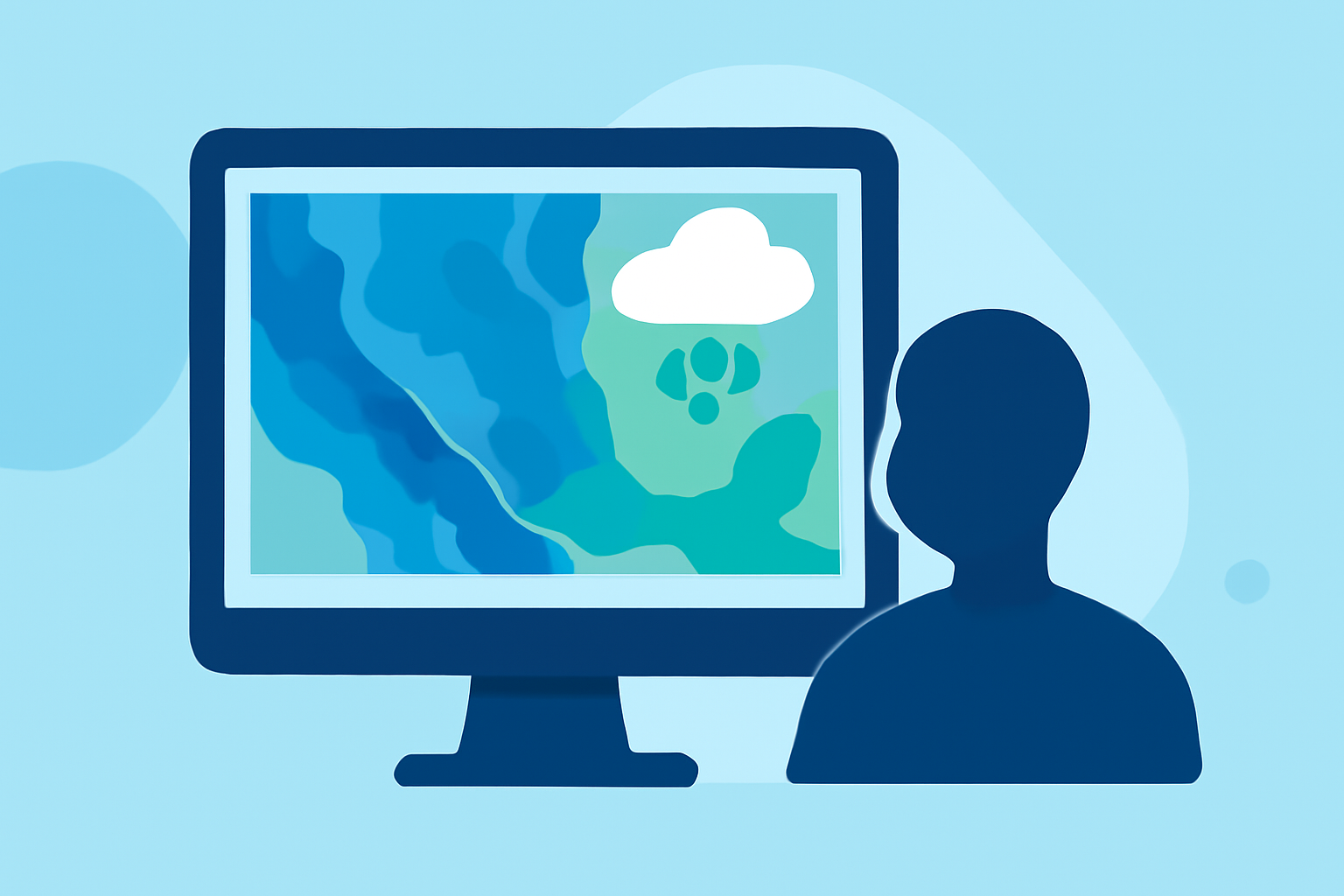
Precipitation maps are essential tools that display the amount and distribution of moisture—such as rain, snow, sleet, or hail—falling from the atmosphere to the Earth's surface. For parents, understanding these maps can aid in planning daily activities and ensuring your family's safety during various weather conditions.
What Are Precipitation Maps?
Precipitation maps visually represent the intensity and distribution of precipitation over a specific area and time frame. They can depict real-time conditions or forecasted data, helping to predict weather patterns and prepare accordingly.
How to Read Precipitation Maps
-
Identify the Color Legend: Most precipitation maps use a color gradient to indicate the intensity of precipitation. Lighter colors typically represent light precipitation, while darker colors indicate heavier precipitation.
-
Understand the Time Frame: Maps may display precipitation over various periods, such as hourly, daily, or accumulated over several days. Ensure you know the time frame to interpret the data accurately.
-
Recognize Precipitation Types: Some maps differentiate between types of precipitation, such as rain, snow, sleet, or hail, using specific symbols or color codes.
Practical Applications for Parents
-
Planning Outdoor Activities: By checking precipitation maps, you can determine the likelihood of rain or snow, helping you decide whether to schedule outdoor events or stay indoors.
-
Ensuring Safety: Understanding areas with heavy precipitation can help you avoid regions prone to flooding or severe weather conditions, ensuring your family's safety.
-
Preparing for School Commutes: If your children walk or bike to school, knowing the expected precipitation can help you decide if they should wear rain gear or if alternative transportation is necessary.
Interactive Tools for Learning
Engaging with interactive weather maps can enhance your understanding of precipitation patterns. Websites like National Geographic's MapMaker allow users to visualize precipitation data globally, providing a hands-on approach to learning about weather patterns. (education.nationalgeographic.org)
Conclusion
By familiarizing yourself with precipitation maps, you can make informed decisions that protect and benefit your family. These tools offer valuable insights into weather patterns, helping you plan activities and ensure safety during various weather conditions.
Highlights:
- MapMaker: Precipitation, Published on Sunday, August 24
- SkyPredict - Interactive Weather Maps
- Live Weather Radar Map | Real-Time Rain & Wind Layers